Bay Lines - Beach of Dreams
Ulverston to Walney Island - Miles 81 to 120
Mapping 120 Miles of Morecambe Bay through photos, stories and drawings


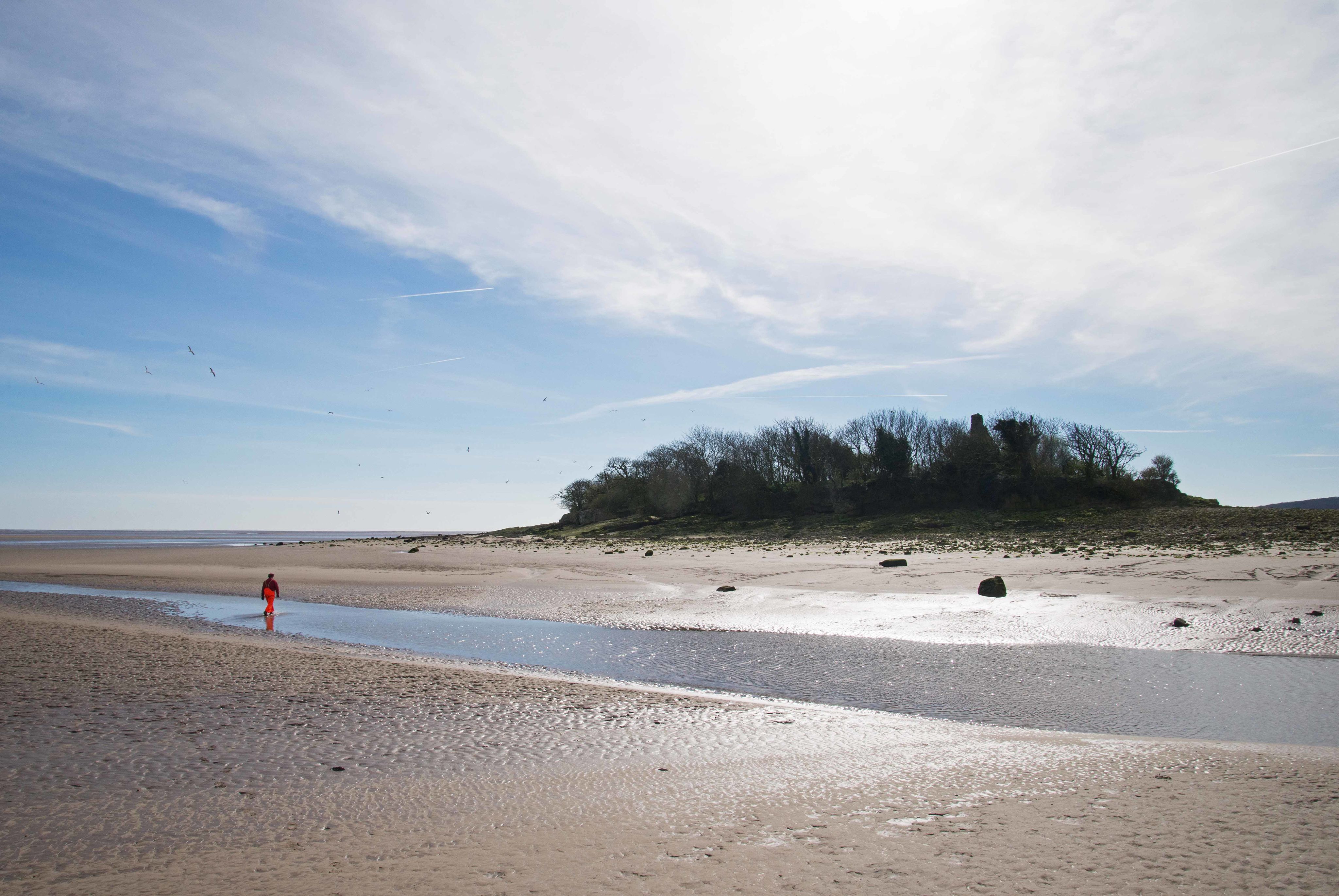

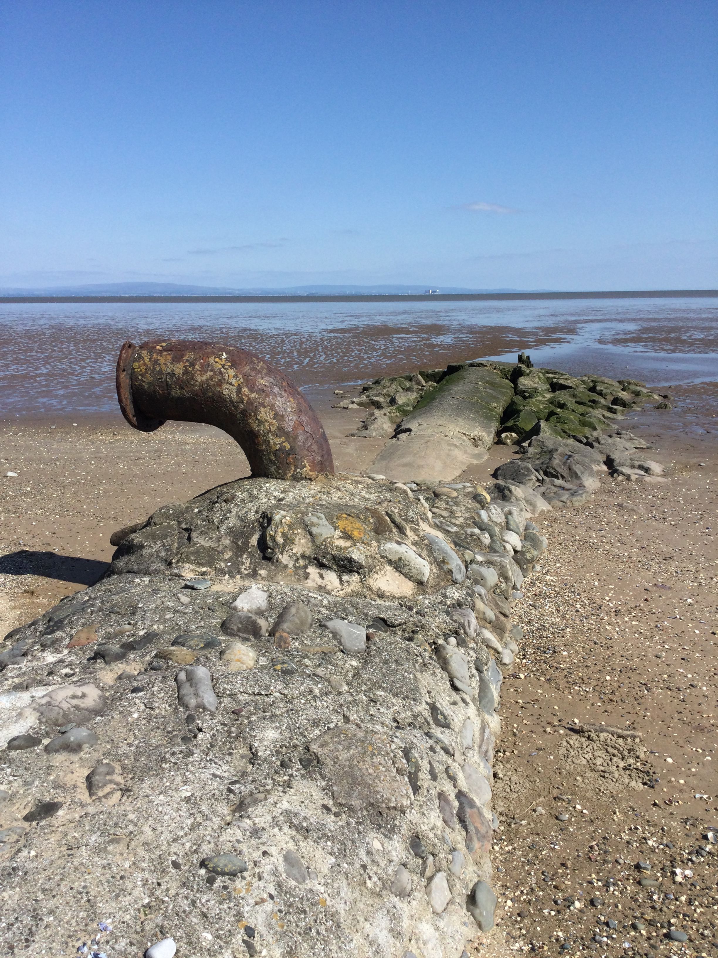
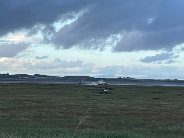
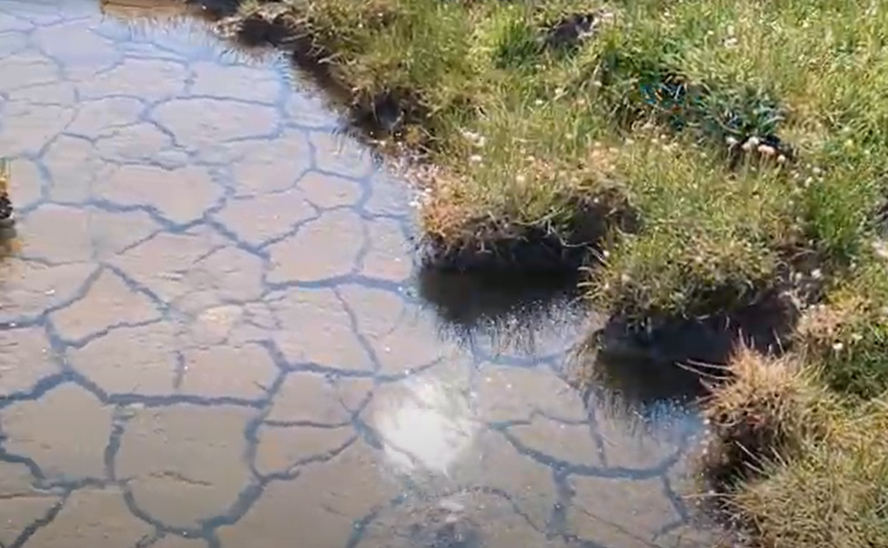
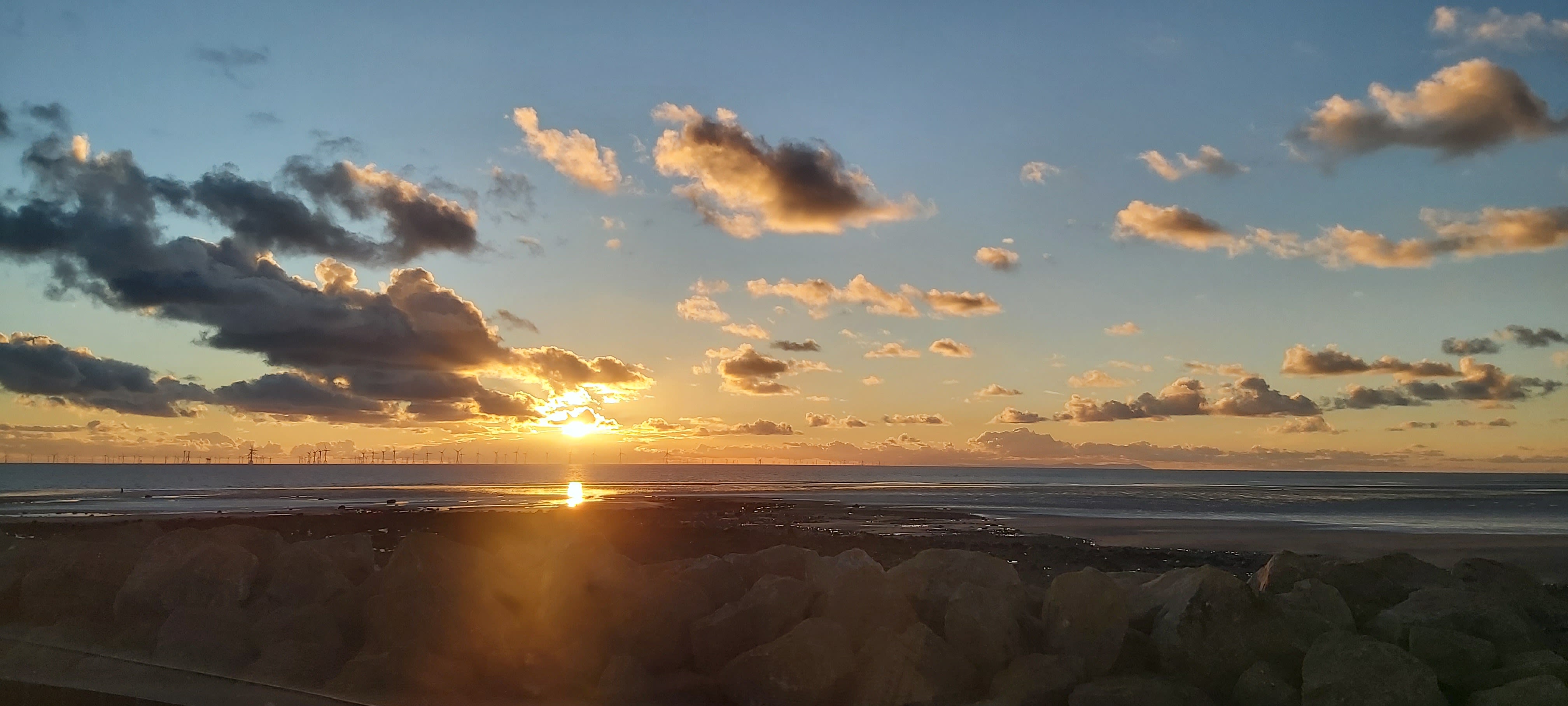
The Sands by Chapel Island
Michelle Cooper, Morecambe Bay Partnership
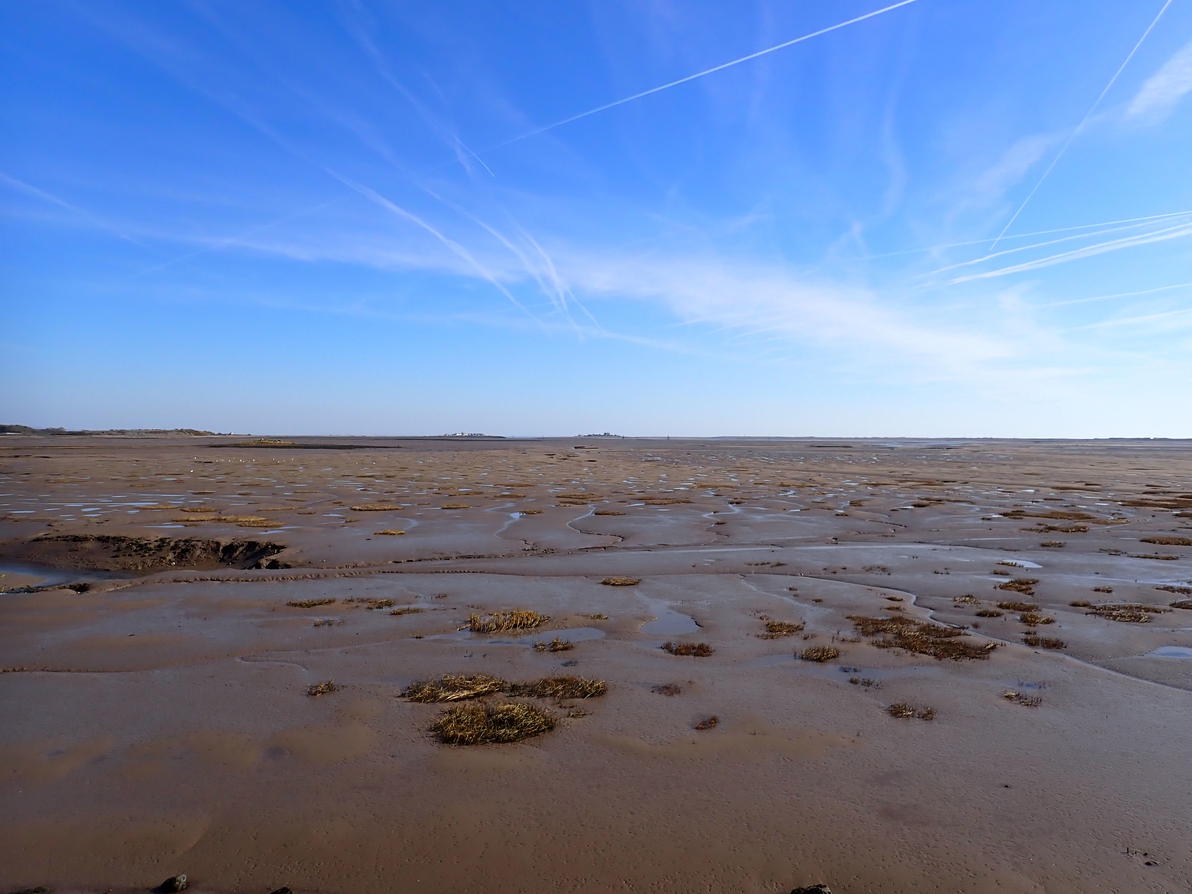
This mile on the sands of the Leven Estuary circles the privately-owned Chapel Island
We didn’t walk it in June 2023 - or in any June.
However we have walked it, many times, with a Guide and with many people from the Bay’s communities. But we don’t walk it in June. Here’s why.
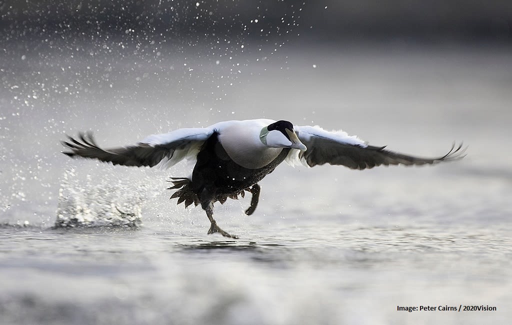
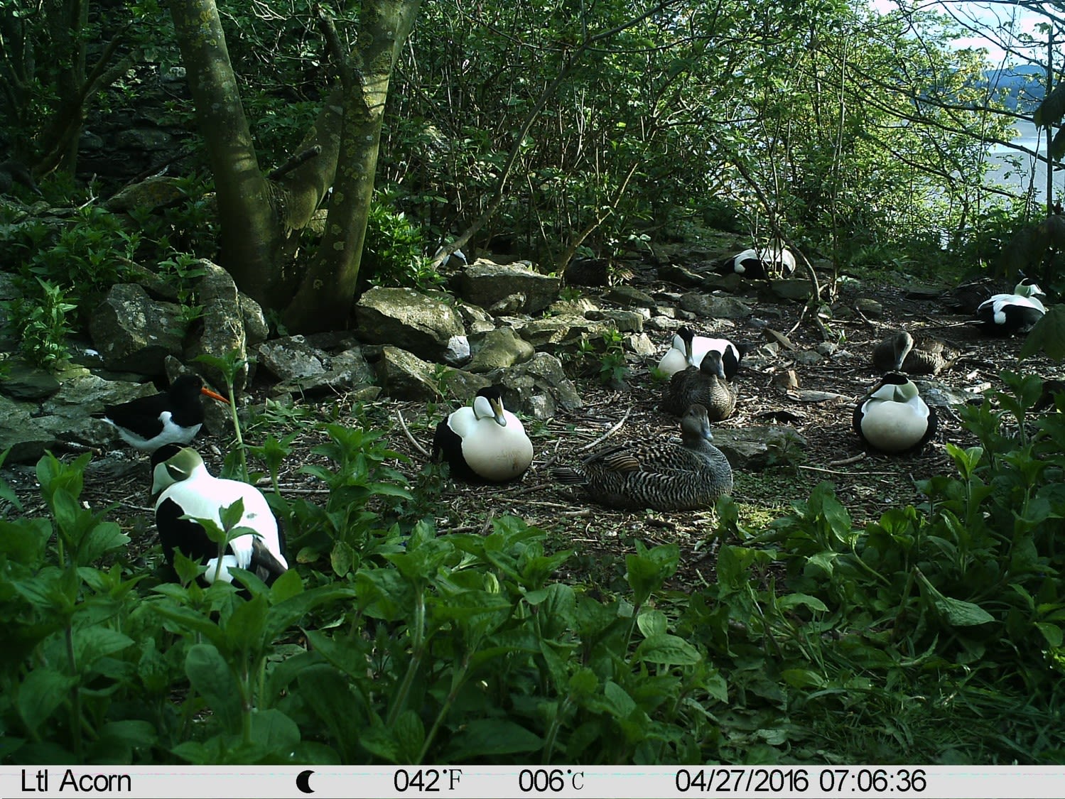
Chapel Island is home to Morecambe Bay’s most important colony of nesting eider ducks. The wonderful charismatic ducks with their chattering voices nest on the Island between April and July. Female ducks need peace and quiet to nest successfully. They return to nest in the same place from where they themselves fledged, so keeping their habitat undisturbed is essential for the island’s future generations of eider ducks. We want to ensure we can conserve a healthy population of these important birds by keeping off the Island.
The birds of the Bay face unprecedented challenges for survival. The Bay is one of the top three places in the UK for overwintering birds. It is the perfect pit-stop for migrating birds. They travel thousands of miles from the Arctic regions during the colder months and stay for days, weeks or months to feed on the millions of creatures that live in the mud, sand and saltmarsh.
Between March and July, rare and declining beach-nesting birds such as ringed plover, oystercatcher, little tern and Arctic tern lay their eggs on the Bay’s quieter beaches, and struggle against weather, predators and human disturbance to raise their families before the summer ends. Morecambe Bay Partnership is working with nature partners and communities to protect the birds of the Bay and reduce the huge problem of recreational disturbance and declining species. Here’s how to help:
• Birds need to feed to survive -if a bird stops eating and looks up, please move away.
• Birds must rest at high tide – they use 12 times more energy when they have to fly. Leave them in peace.
• Keep your dog on a lead on busy bird beaches – birds are easily scared.
• Keep to well-trodden routes and clear paths. Avoid wandering across shingle and dunes where birds may be nesting but are well hidden. Their eggs and nests are easily trodden on or destroyed.
• Follow the coastal code
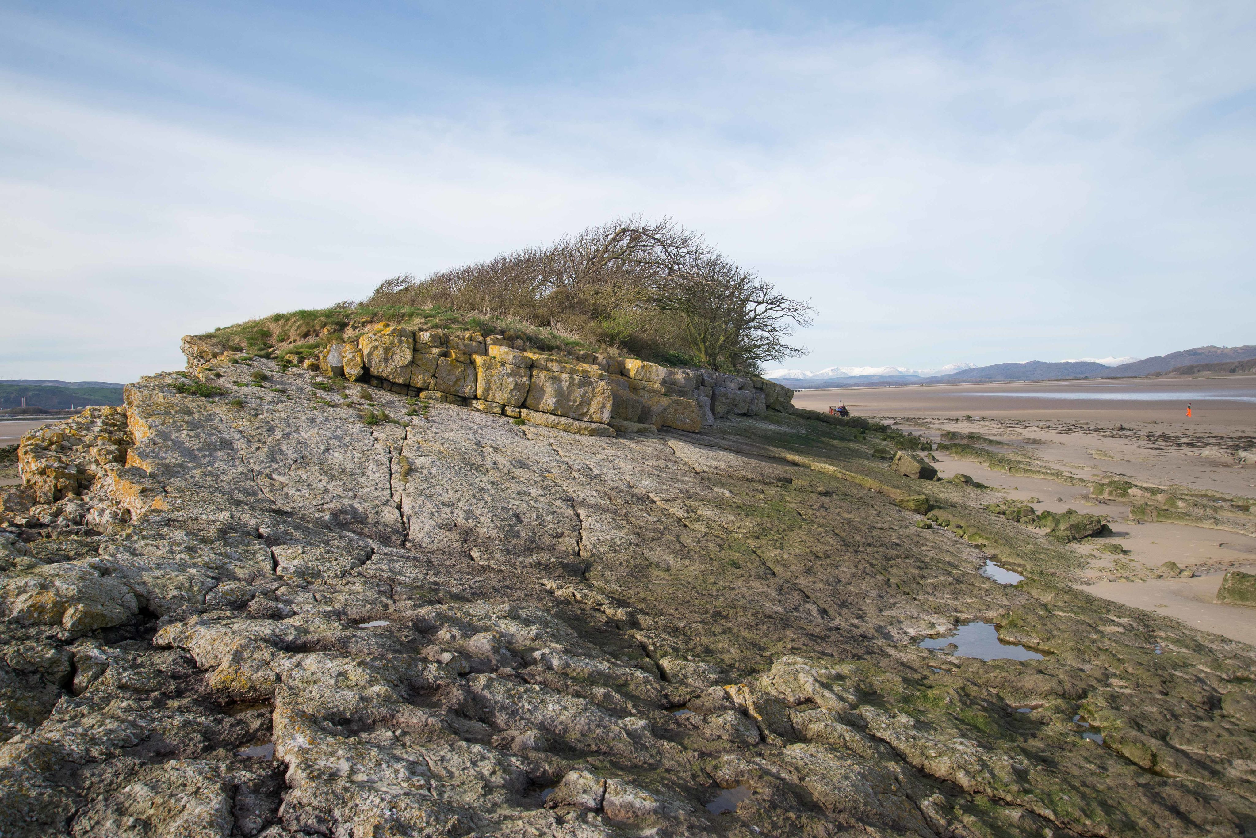
If you ever want to walk around Chapel Island, you should do so only with a qualified Guide (www.guideoversands.co.uk).
The fast-rising tides, quick sands and deep channels around the Island are very dangerous.
The Bay Lines - Beach of Dreams project maps 120 miles across Morecambe Bay. In June 2023 artists and walkers from the arts organisation Kinetika walked the whole route of 120 miles around Morecambe Bay carrying silk pennants representing miles of coastline. Their mission - to create 120 new silk pennants, one for each mile of the Bay, to be designed from the mile images and stories contributed by members of the public around the Bay and to be displayed as a coastal art installations at 4 locations across the Bay over August Bank Holiday weekend 2023. The project was commissioned by Ways Around the Bay from the Morecambe Bay Partnership.
Kinetika is working with Kendal-based Rosa Productions as part of a wider multi-year Beach of Dreams exploration of the UK and Ireland coastline.
The is the final of five sections - from Ulverston Canal Foot to Barrow-in-Furness and around Walney Island. We walk and map the 120 miles of coastline of Morecambe Bay with photos, stories, and drawings from the Bay Lines, Beach of Dreams participants.

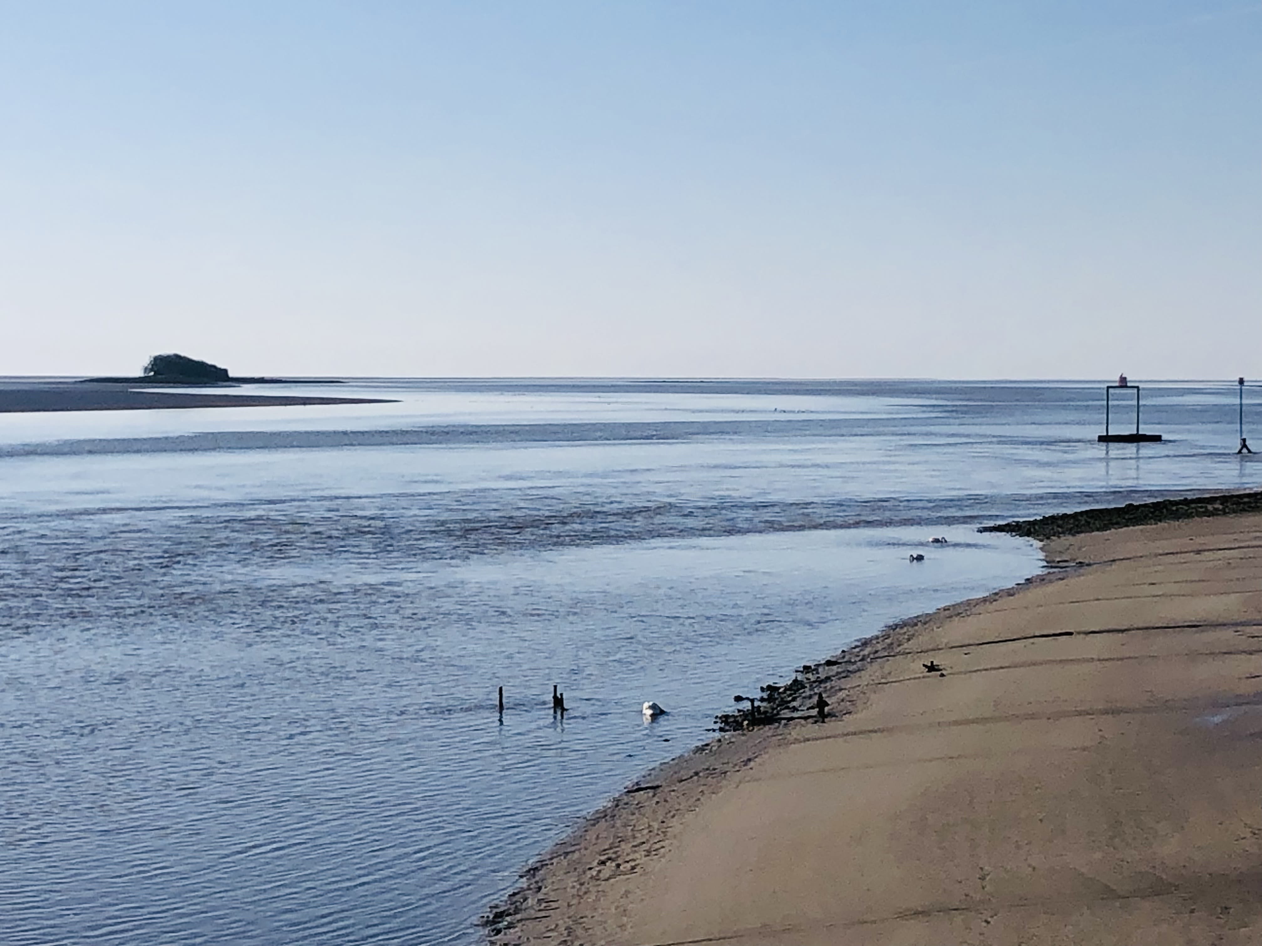
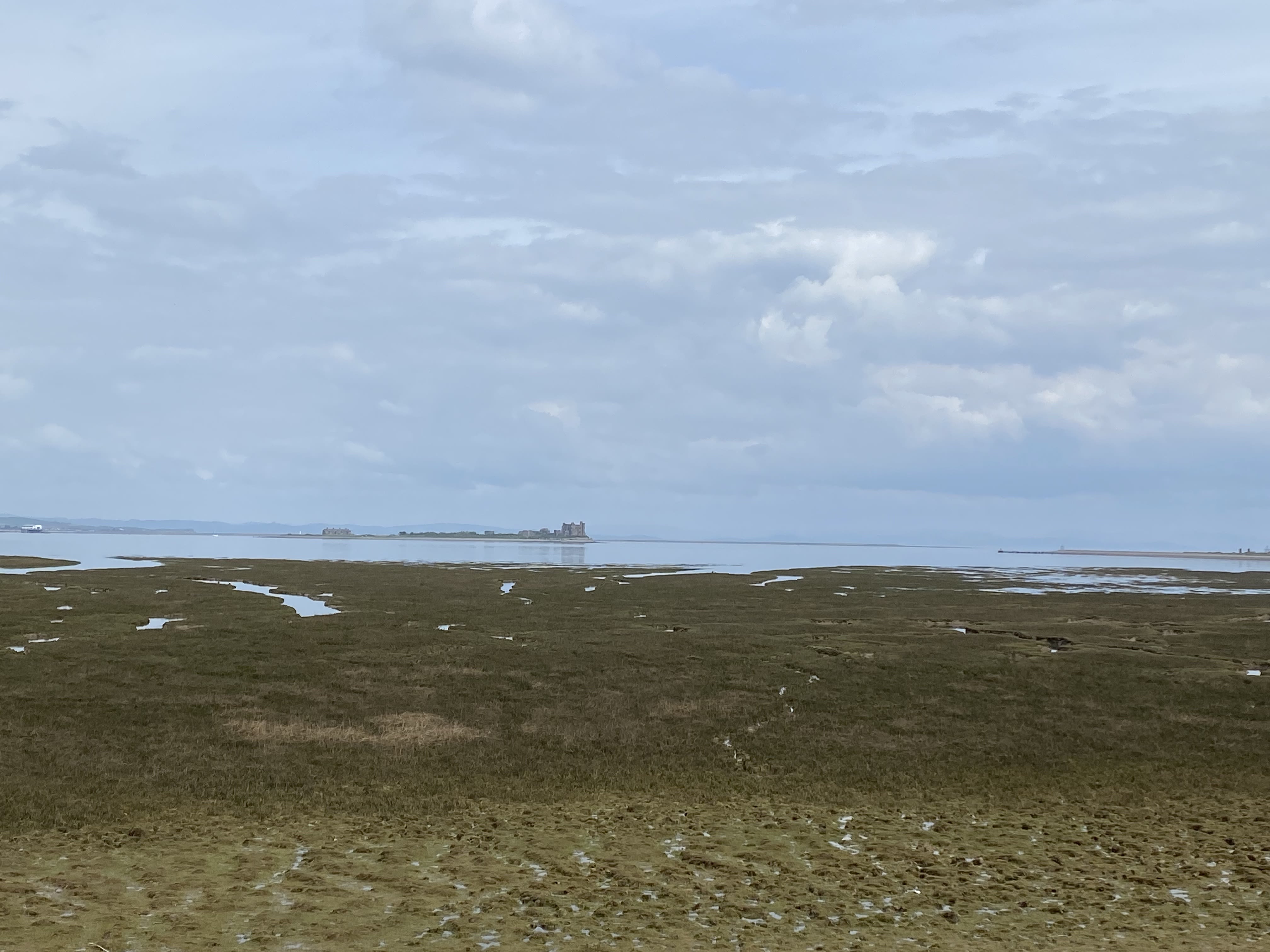
Chapel Island from Ulverston Canal Foot
Chapel Island from Ulverston Canal Foot
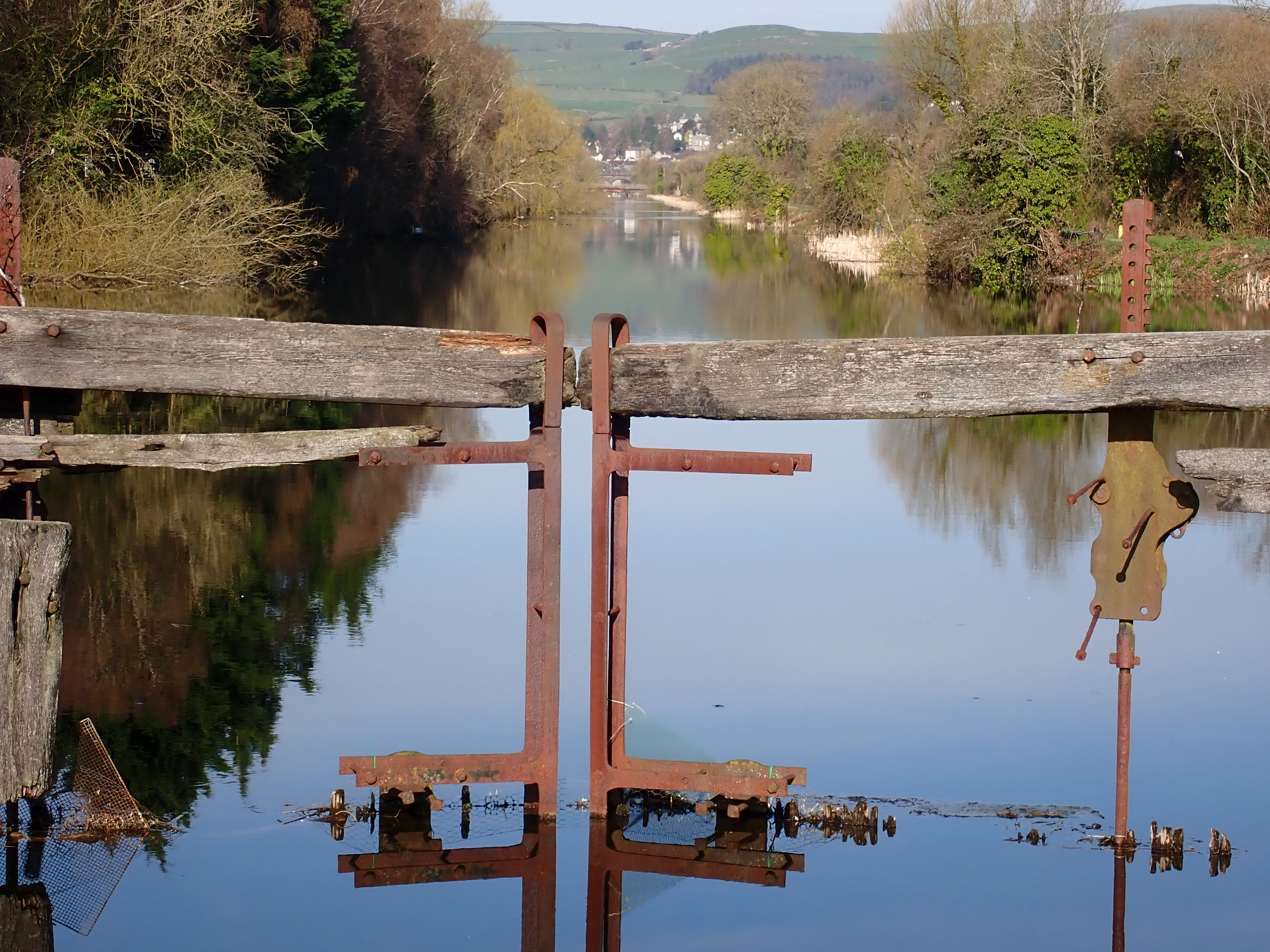
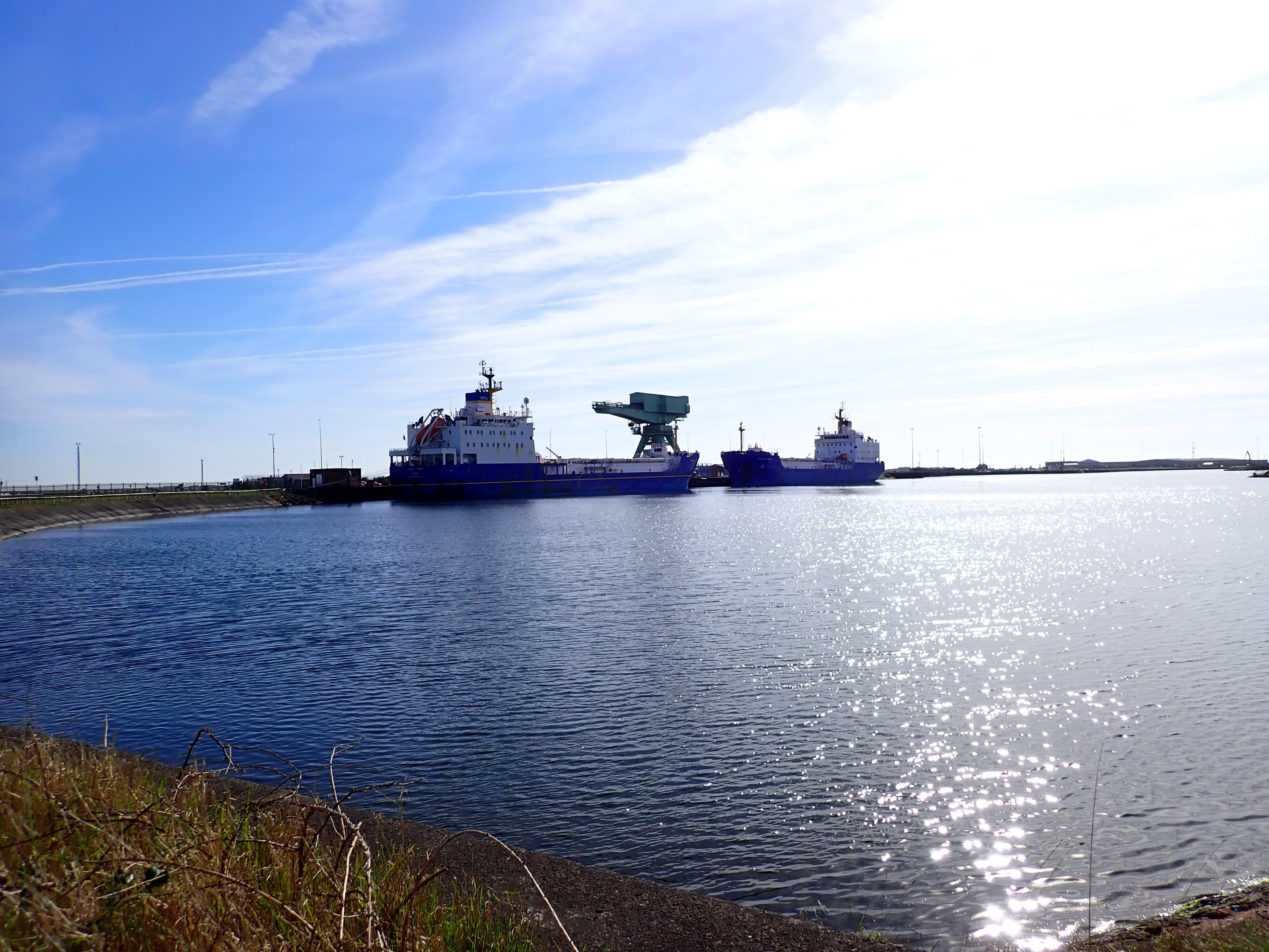
Canal Foot lock
Canal Foot lock
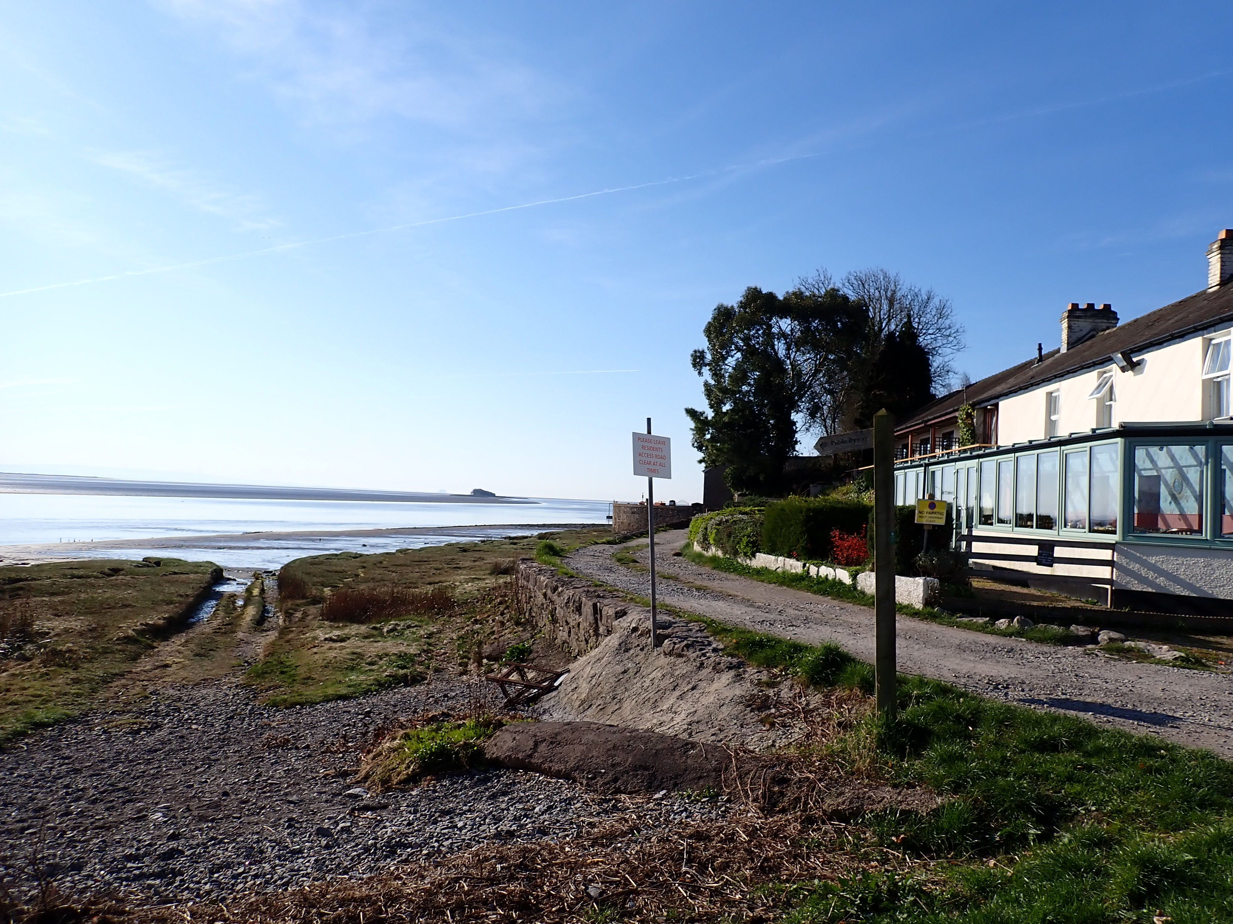
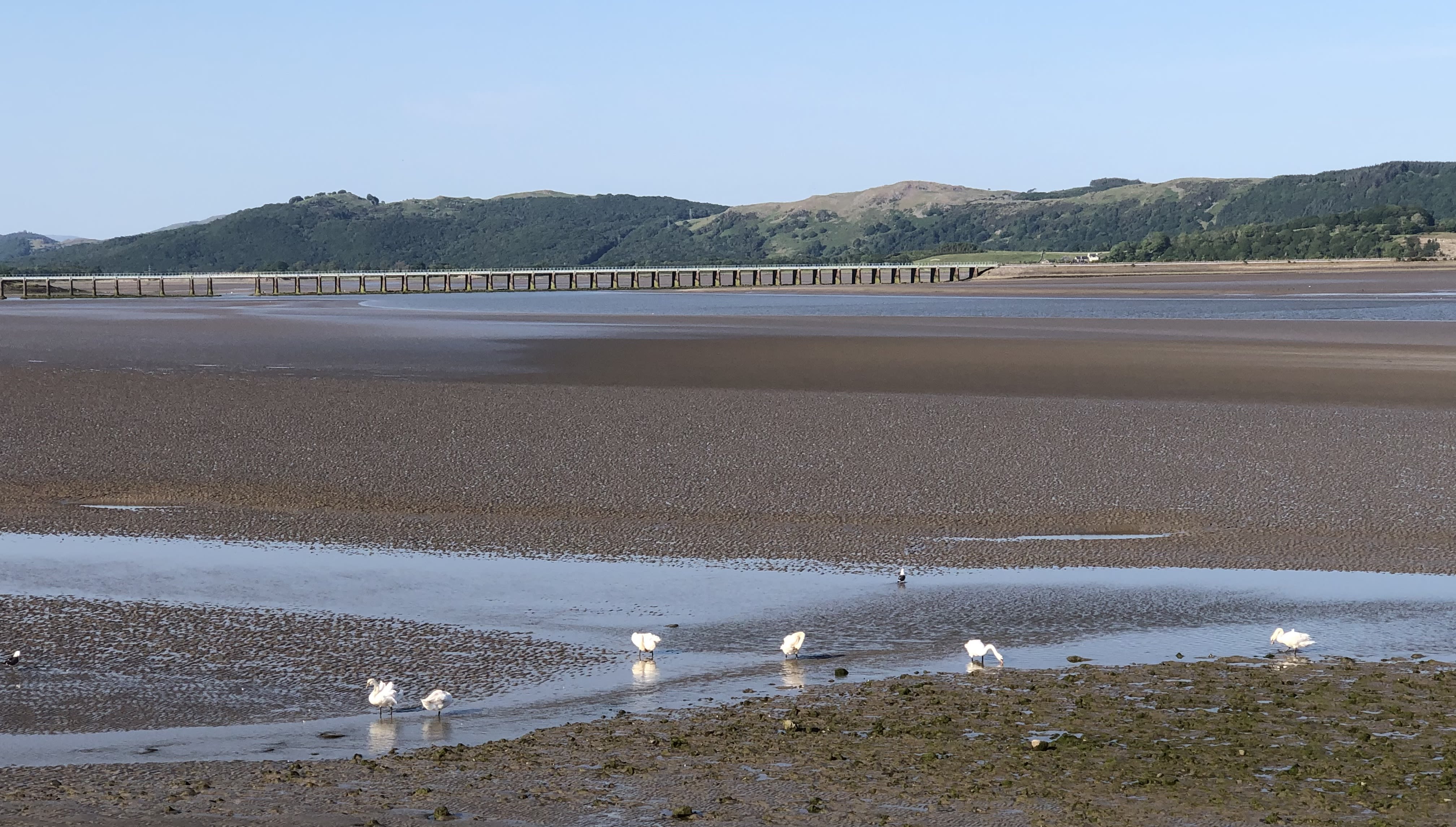
Bay Horse Hotel
Bay Horse Hotel
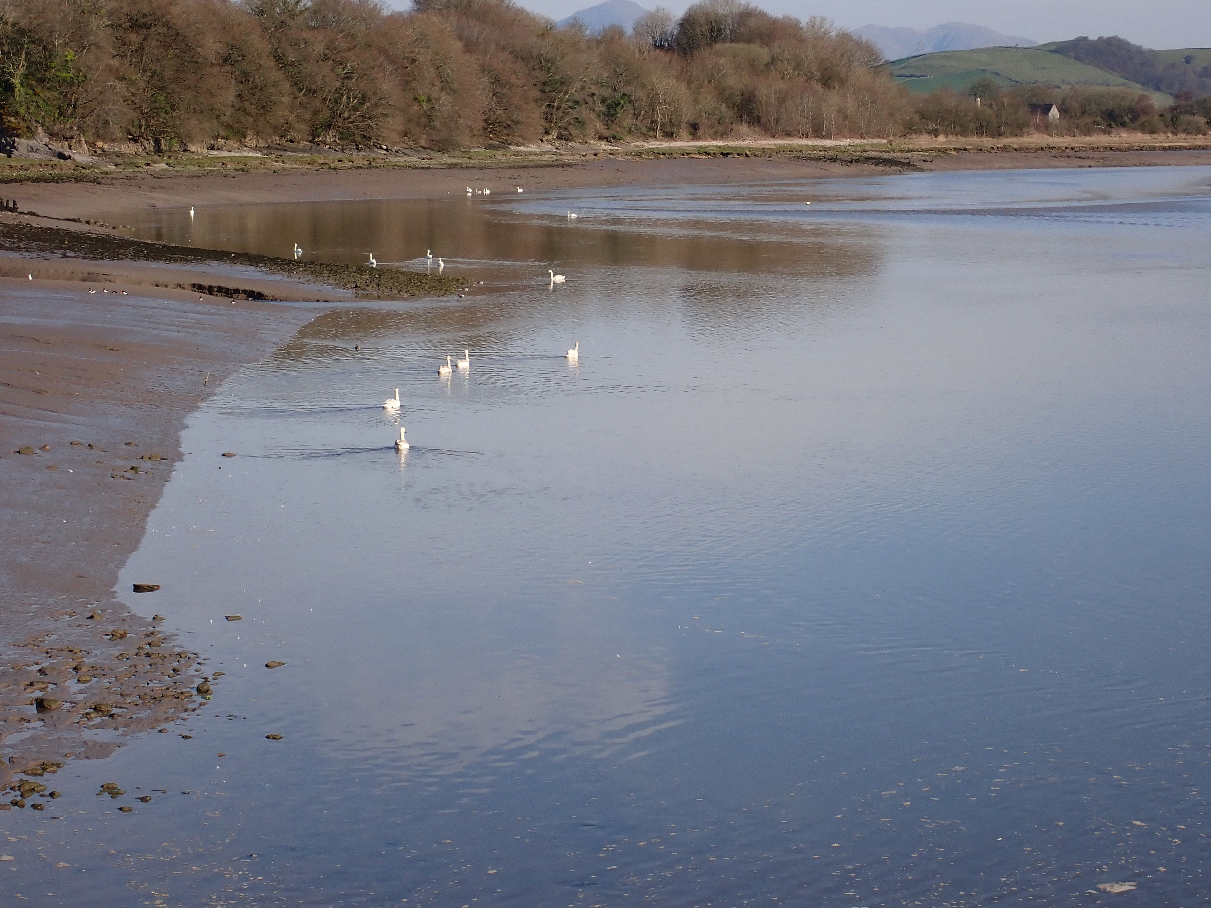
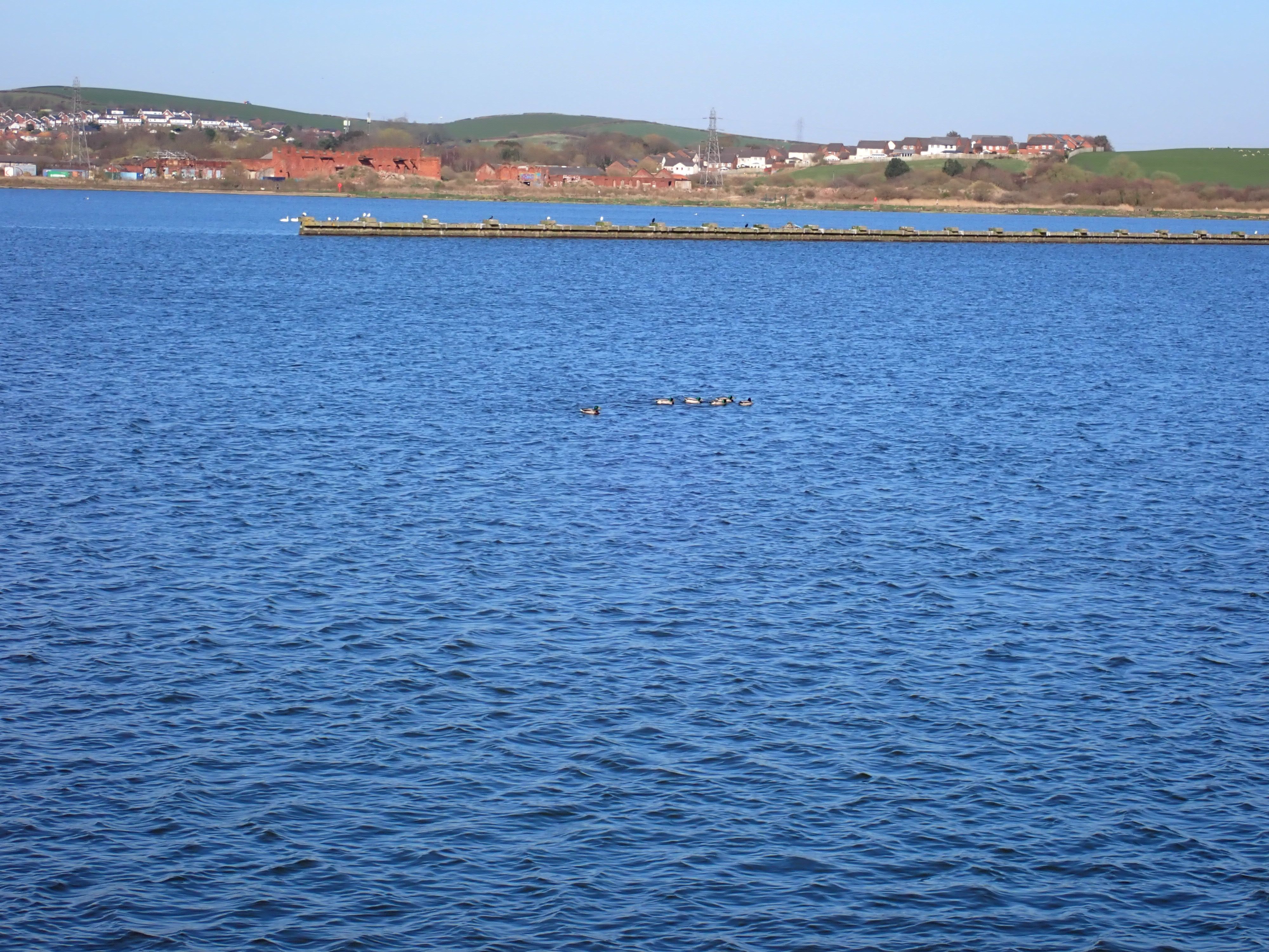
Swans near the Bay Horse Hotel.
Swans near the Bay Horse Hotel.

Mile 81 - Ulverston Canal Foot
Maria Harrison
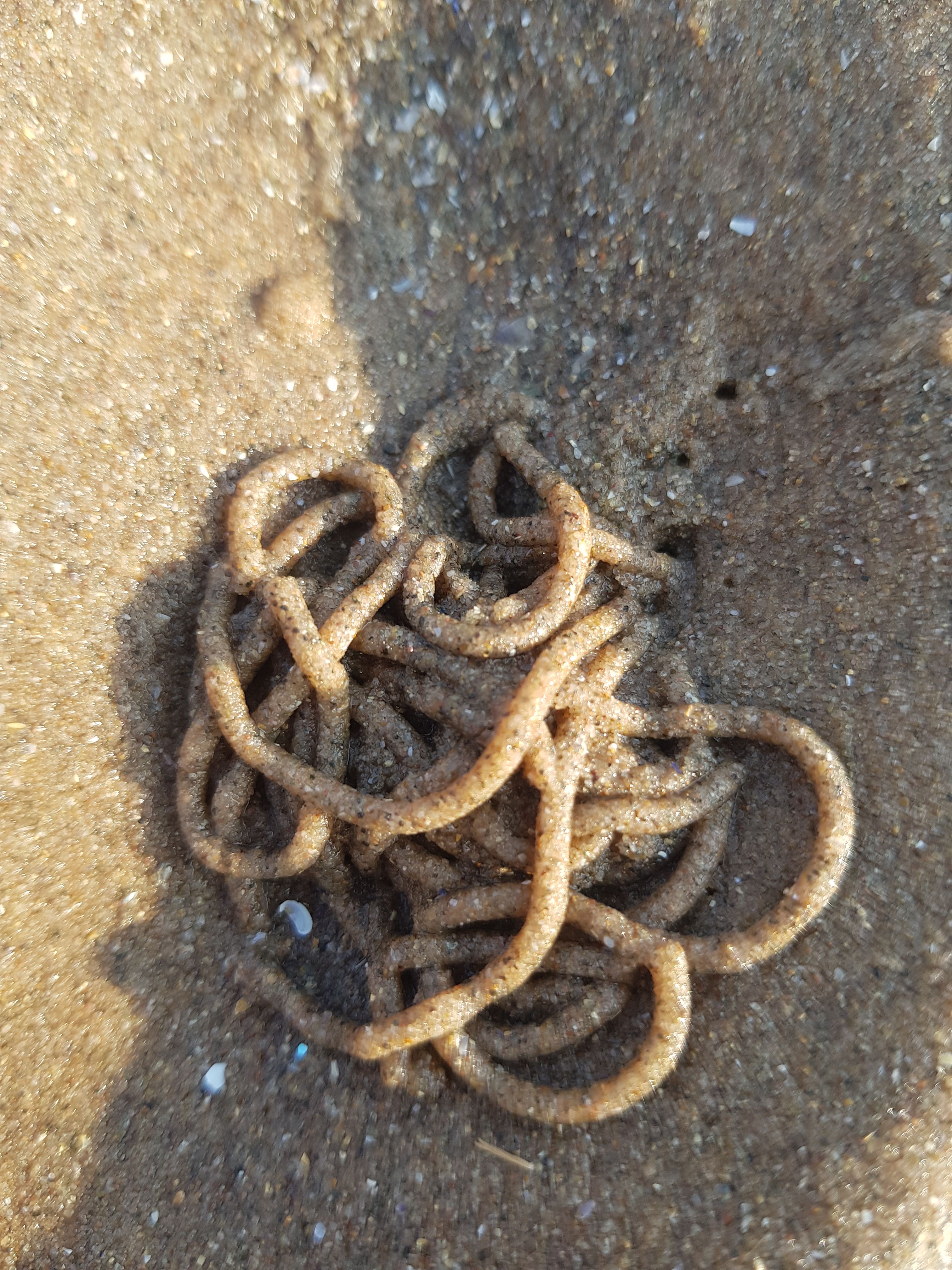
My daughters and I enjoy visiting the local beaches. We go exploring along the shoreline, seeking out beautiful shells, sea glass, noticing the wildlife, plant life and sea life too, like the crabs, jellyfish and even lug holes or spiders crawling about. We also help clear the beaches of washed up or dumped rubbish, like common plastics, rope or a welly boot!
We walk amongst the rocks where the seagulls have eaten shellfish or snails. We take in the beautiful horizon and landscapes, be it a beautiful sunset, a foggy sky or heat mist. You can see across the ocean to the far away lands or islands.
The tide can be in and the waves crashing high against the barriers or the tide will be out a long way and you can leave your footprints in the sand and explore the many water pools scattered about. Did you realise that there was so much more to do on a beach than just a walk! It’s so educational and such fun too!
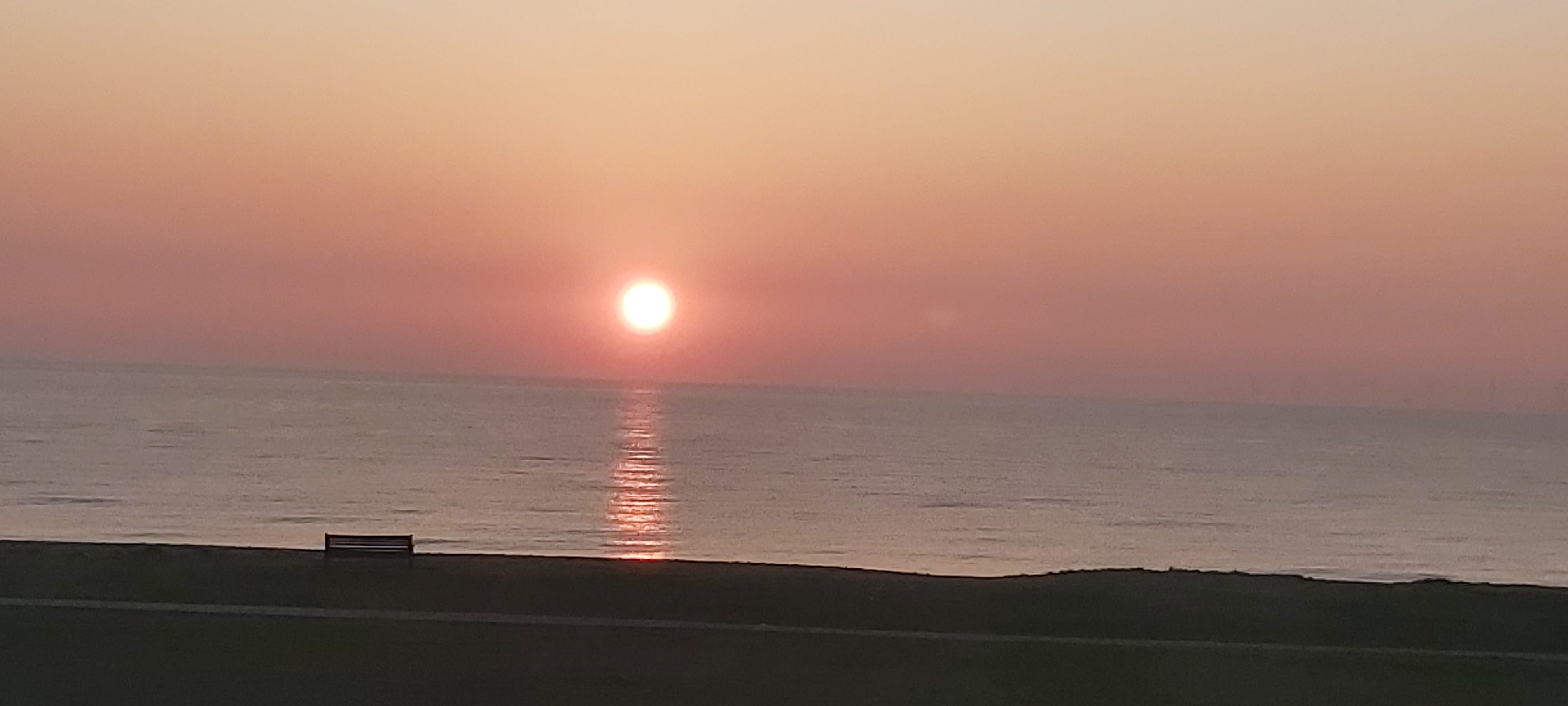
Mile 82 - Towards Bardsea Beach
Amanda Weston
Towards the end of my mile from Canal Foot, can be found a special place to me.
The path follows the bay-line, with a vast pebble beach to my left, where the tide heaves in-and-out twice a day and leaves different strand-lines depending on the moon’s pull.
Also to my left, out in the bay, Chapel Island. Those that knew the sands would walk over to the island when the tide was right, I do not know if they still do but must give a warning here to respect the bay’s sands and tides.
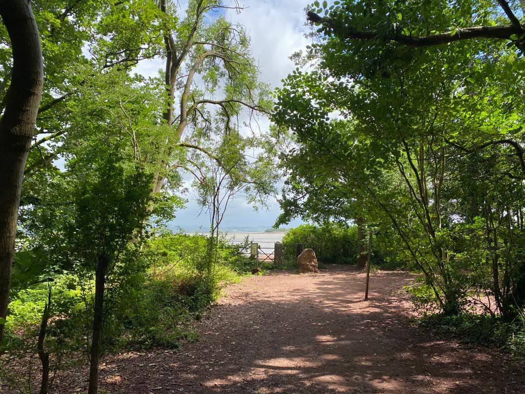
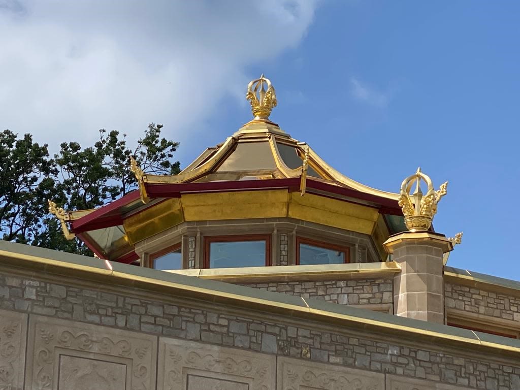
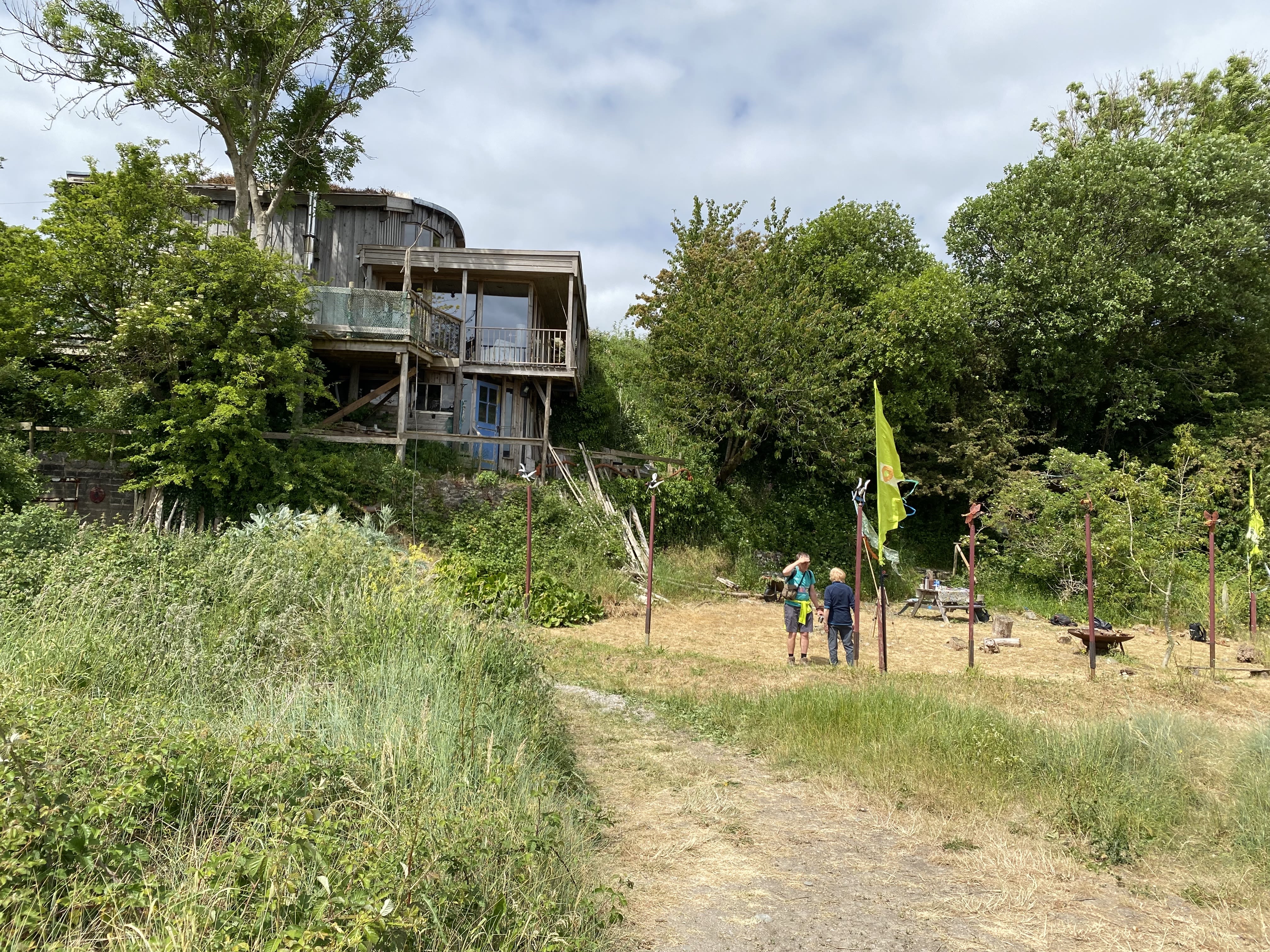
There is a gentle upward-sloping deciduous wood to my right, with an inviting and informal pathway heading in-land. No dramatic cliffs around here, which I am familiar with as a lass from, originally, the north-east, but a place that permits the haunting sound of sea-birds to be replaced by the soothing songs of wood-birds. Not far along this in-land path is a sensory wonder that seems, to me, other-worldly. A bright and beautiful Buddhist temple not a stones-throw from the bay-line. This is the Manjushri Kadampa Meditation Centre at Conishead Priory.
The temple is bold, glistening gold no matter what weather the bay thrusts its way. Here is my sanctuary. Recent years have thrown me challenging times, too many losses, too few smiles. Mindfulness abounds its glistening heart, gardens for reflection, vegan / vegetarian café for kindness, community for support, and the temple for thoughtfulness. I have learnt a little about self, I have found strength, I have laughed and cried, and I am sure I will do all those things again there as I move on with life. An incongruous yet valuable addition to the bay-line, offering shelter in stormy times. I am happy to have found that informal path.
Amanda Weston
Amanda Weston
Amanda Weston
Amanda Weston


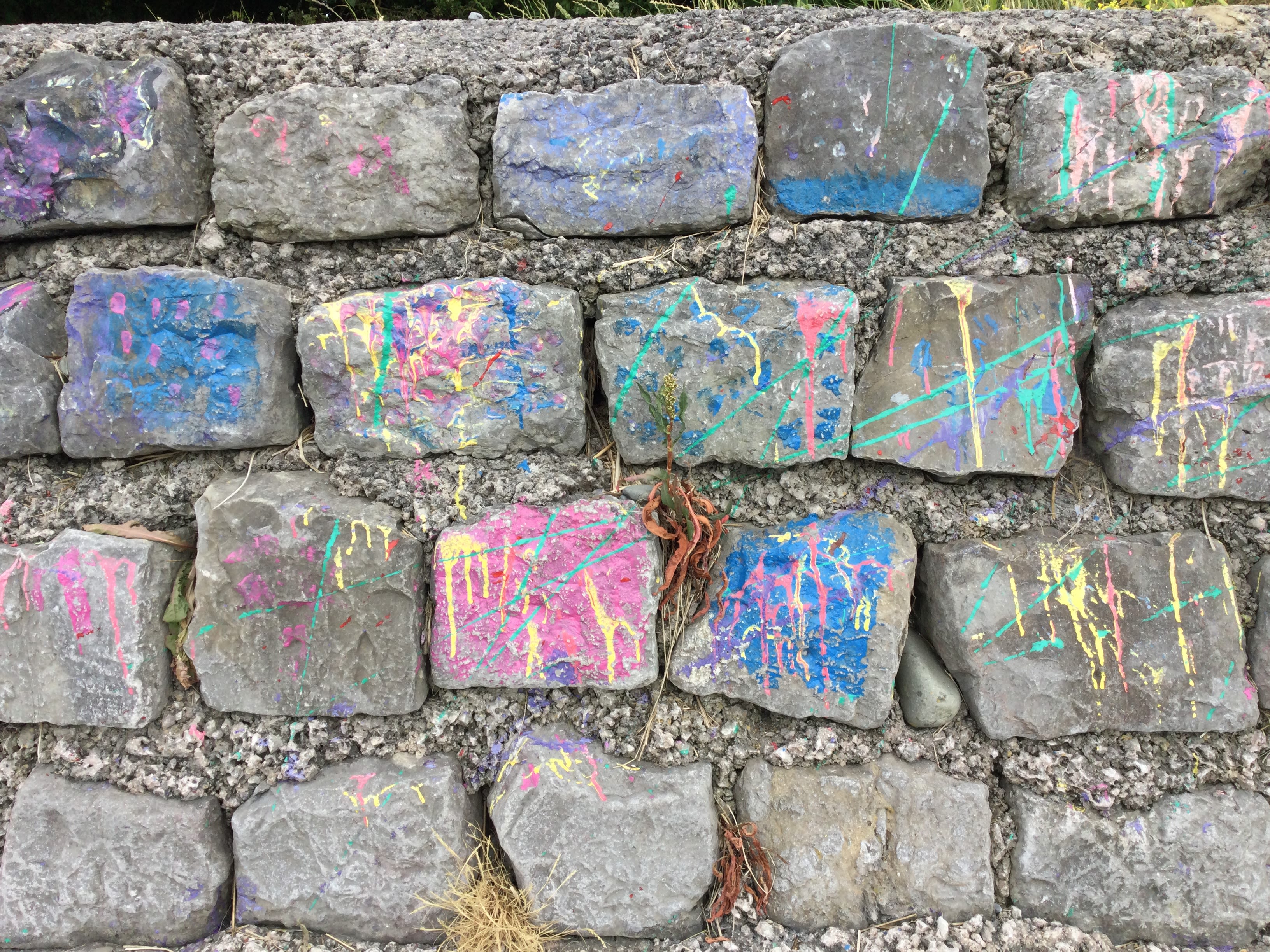

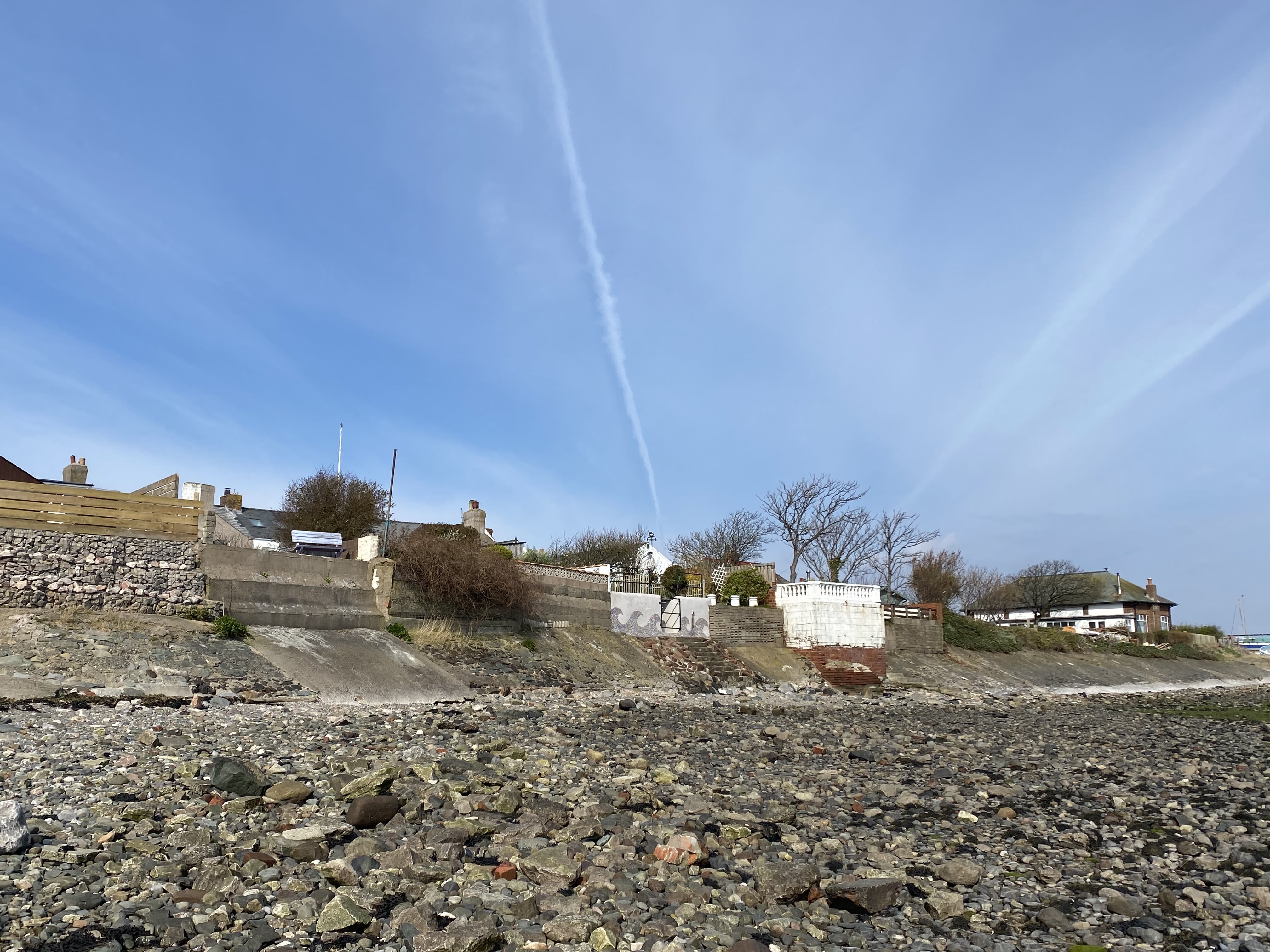
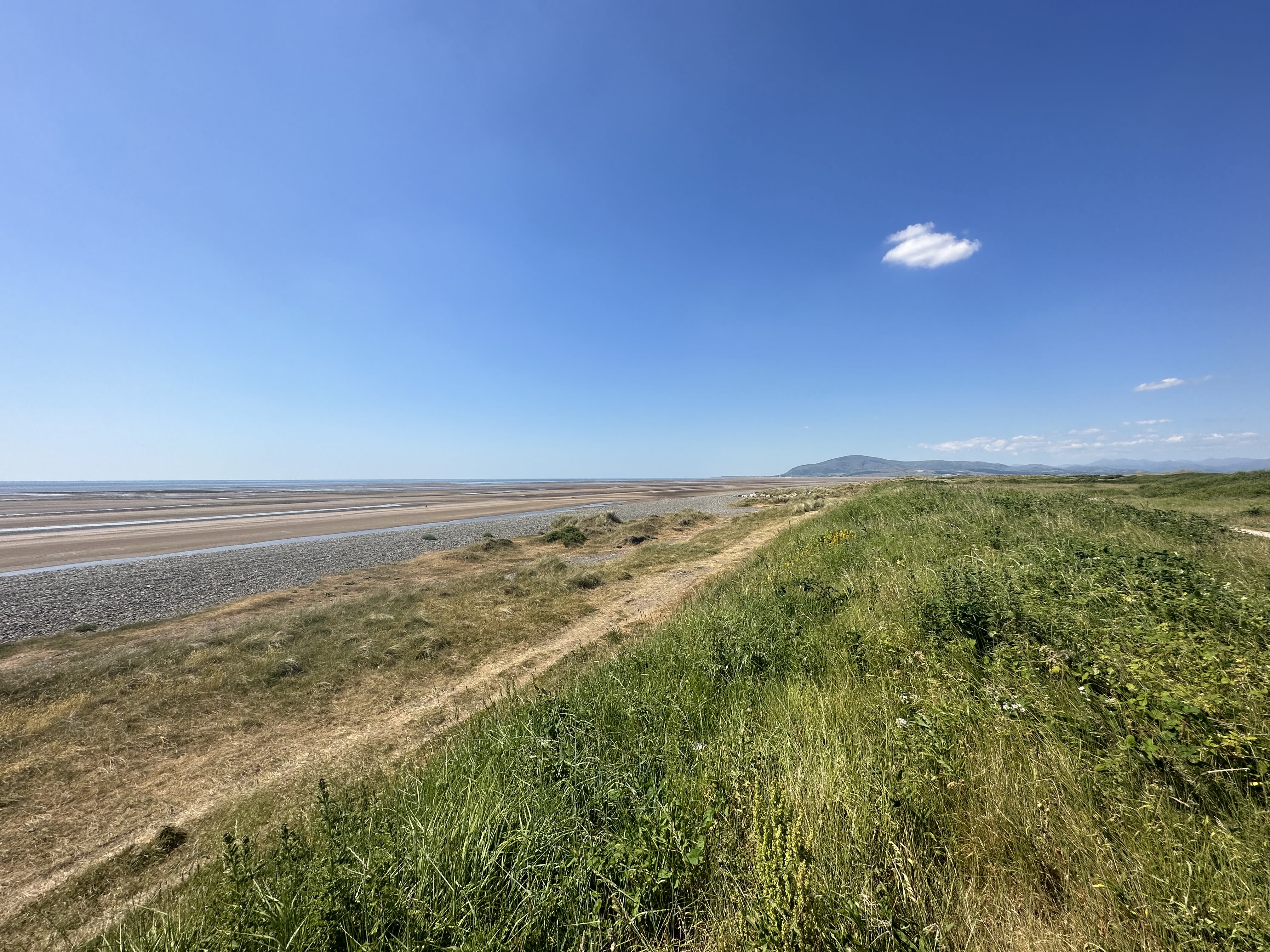
Mile 83 - Bardsea
Gili Armson
I last visited this coast over 30 years ago and wanted to come again to see any changes and be reminded of long lost memories.
It was wild way back then and lots of unemployment with businesses and buildings just emptied.
The painted wall in my collection of photos does not suggest graffiti rather an abstract colourful part of a modern landscape.


Mile 84 - Bardsea
Maria Harrison
Maria told us what drew her into exploring the shore.
"We were just looking at shells and sea glass - it's like mudlarking - and we find bits of glass.
It's a hobby for me and my daughter. It started from being at Walney at The Hub where they have litter picking stations provided by ‘2 minute foundation’ - just for 2 minutes we pick some litter up.
So on our first session we were there for an hour and half - we found it bizarre how much rubbish was on the beach.
That's how we got involved.
Then we were watching the 'northern mudlarks' on youtube.
Then we went out to see what we could find on the coast near where we live in Ulverston.
And we pick up seaglass, shells and so on. And now we are looking to add crafts to this collection."
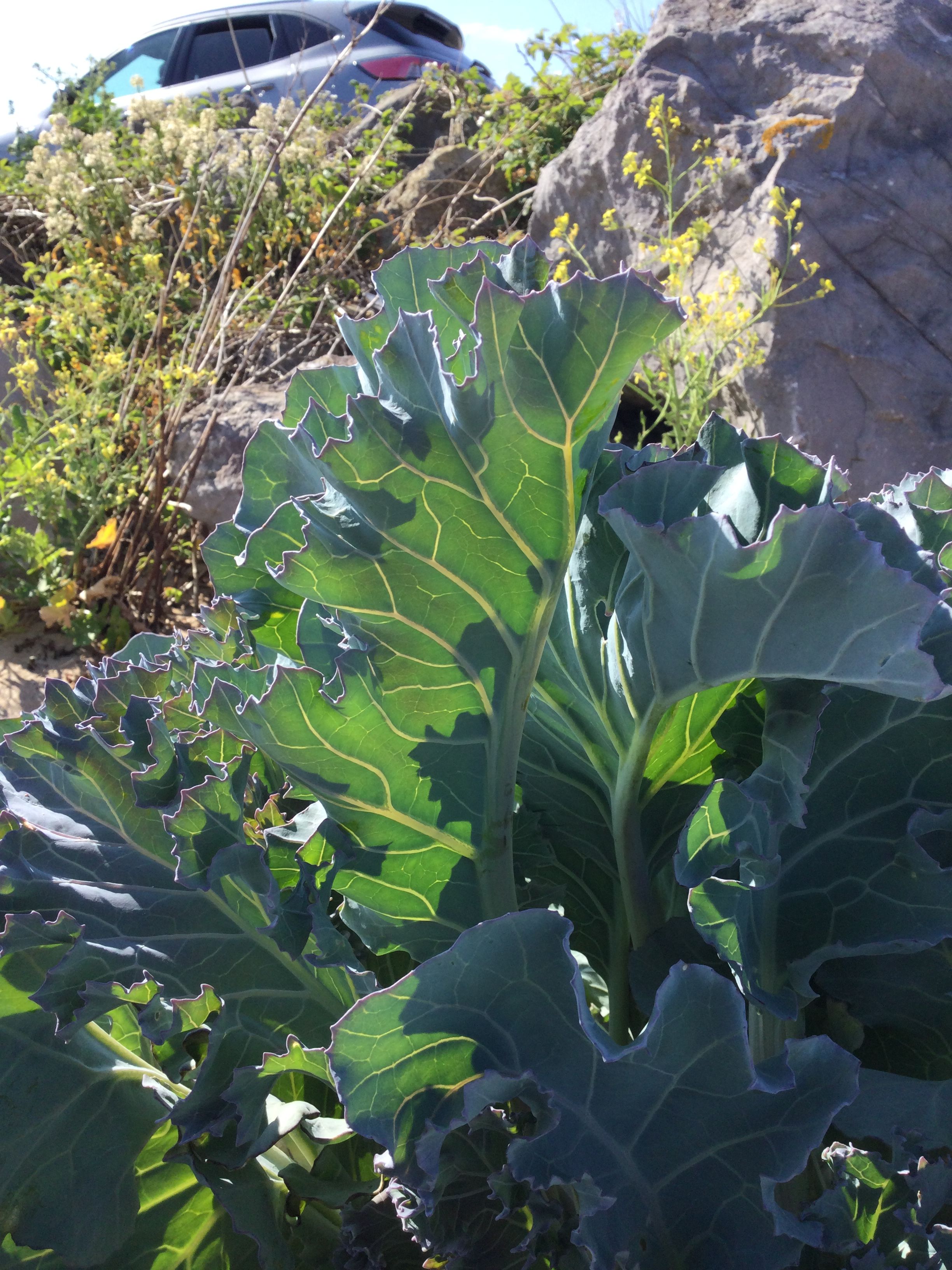
Mile 84 - Bardsey
Gili Armson
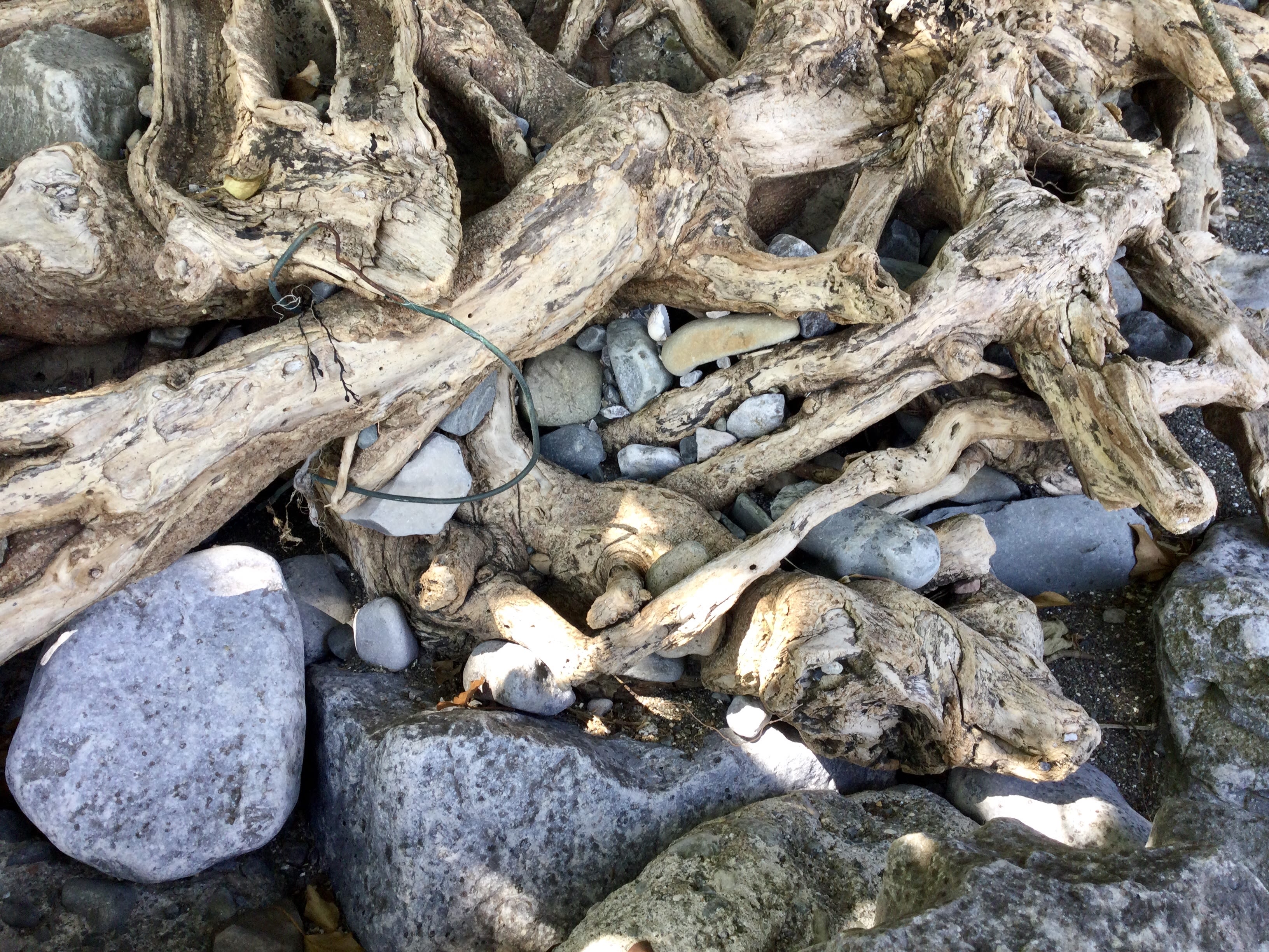
I knew there would be ‘resilient’ trees, hanging onto or close to the beach especially being near to a forested area. Roots would be exposed and I love the duality of seeing the tree in its entirety, both above the ground and also below the soil level.
There would be shelter along this mile and it is set just back from the beach giving a different view of the Bay, seen above the reeds.
Gili Armson
Rocks from high tide have been lodged in the trees roots, OR has someone put them there? A beautiful living sculpture!

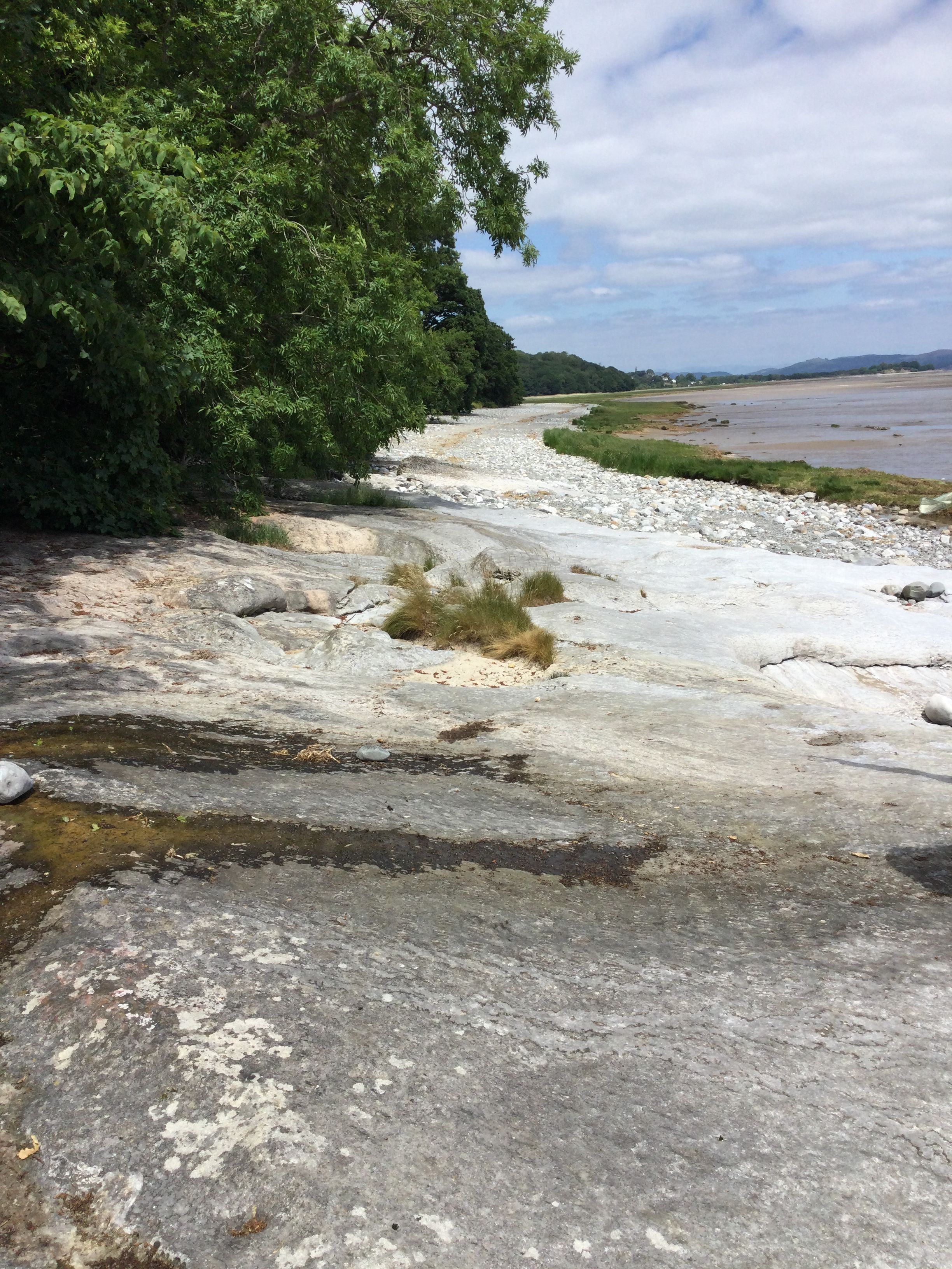


Mile 85 - 86 Heading West
Gili Armson
I had visited the writing on the slabs years ago and wanted to see if they were still there.
Like a modern day 10 commandments written on stone….long live Elvis and Bing.
The Beach House was not there last time and what a great surprise, but then it seemed it was meant to be. Great tea, gab, and arty stop.
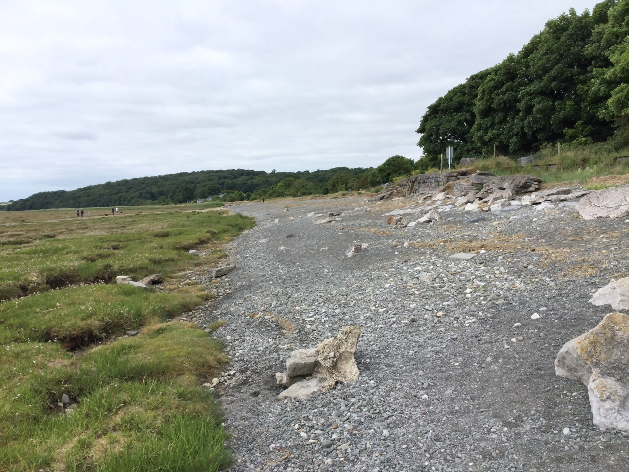
After this the mile was wilder and seemed isolated. Hard walking over all those boulders.
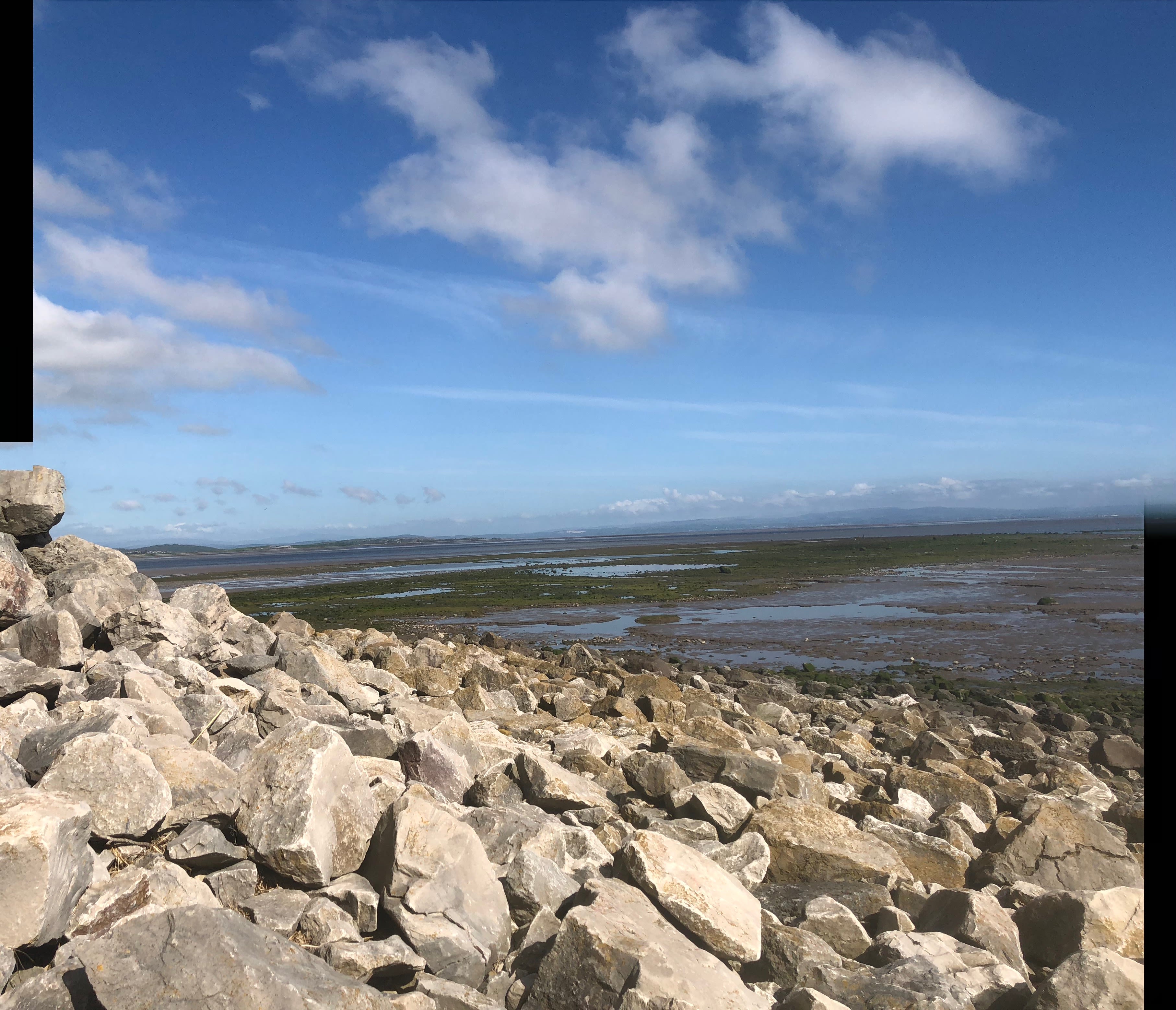
Mile 86 - Aldingham
Helena Sanderson
I love the wide open spaces at Aldingham.
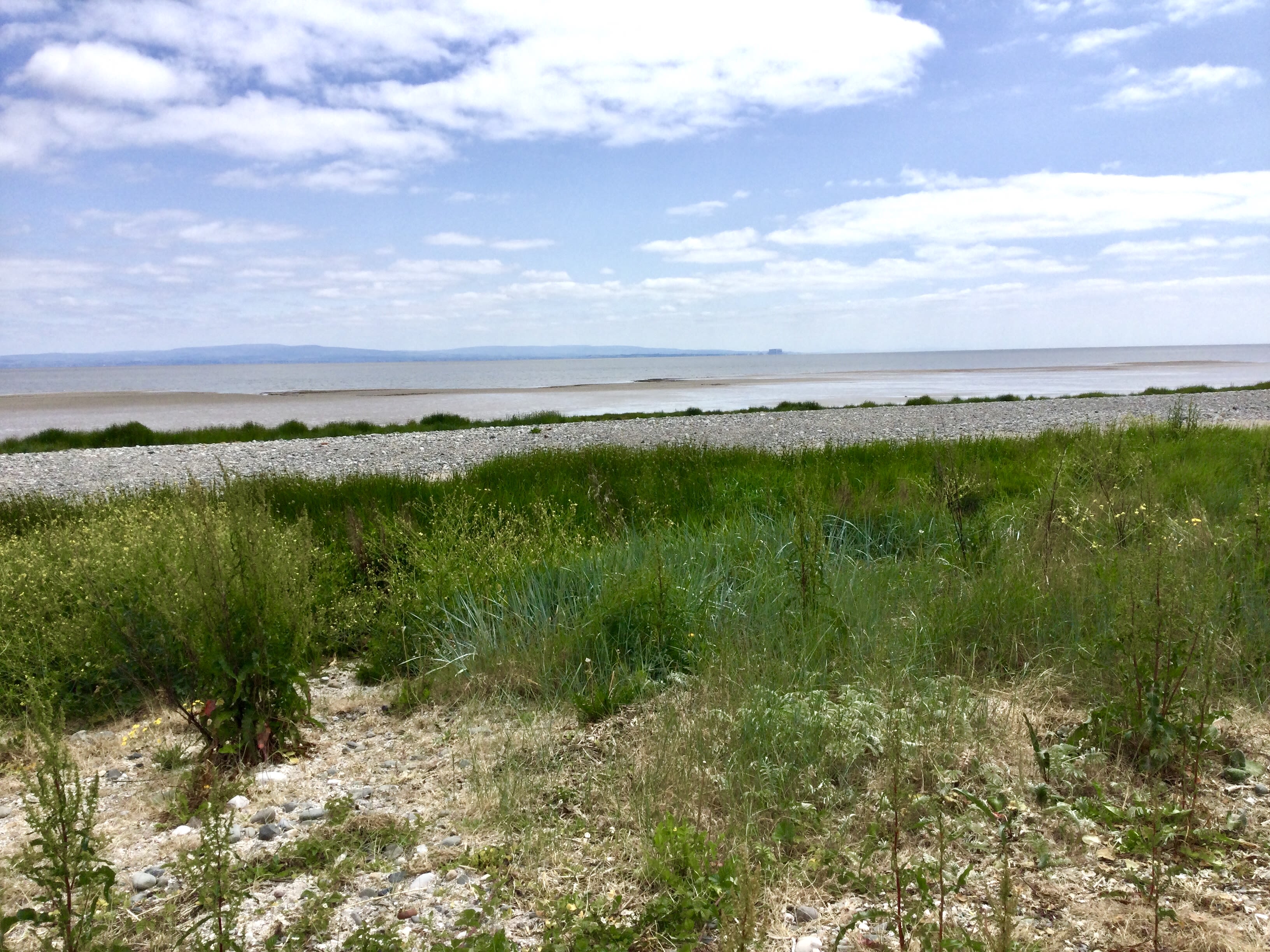
The way the tide retreats for over a kilometre and I can walk and walk and walk and feel I could keep walking forever. I love the bundle of rocks accessible at low tide, where the oystercatchers and redshanks hang out. Where herring and lesser black backed gulls hover on warm air currents. I love that even when it’s busy in car parks and on the part of the beach above high tide, as soon as I walk out I’m alone with nature and my thoughts.

I want Aldingham to remain as clean and welcoming and remote feeling. For nature to lay claim to it over people, for birdlife and plants and wildlife to increase and thrive. I want to always be able to walk there and to love it as much as I do now.
Helena Sanderson
Helena Sanderson
Helena Sanderson
Helena Sanderson


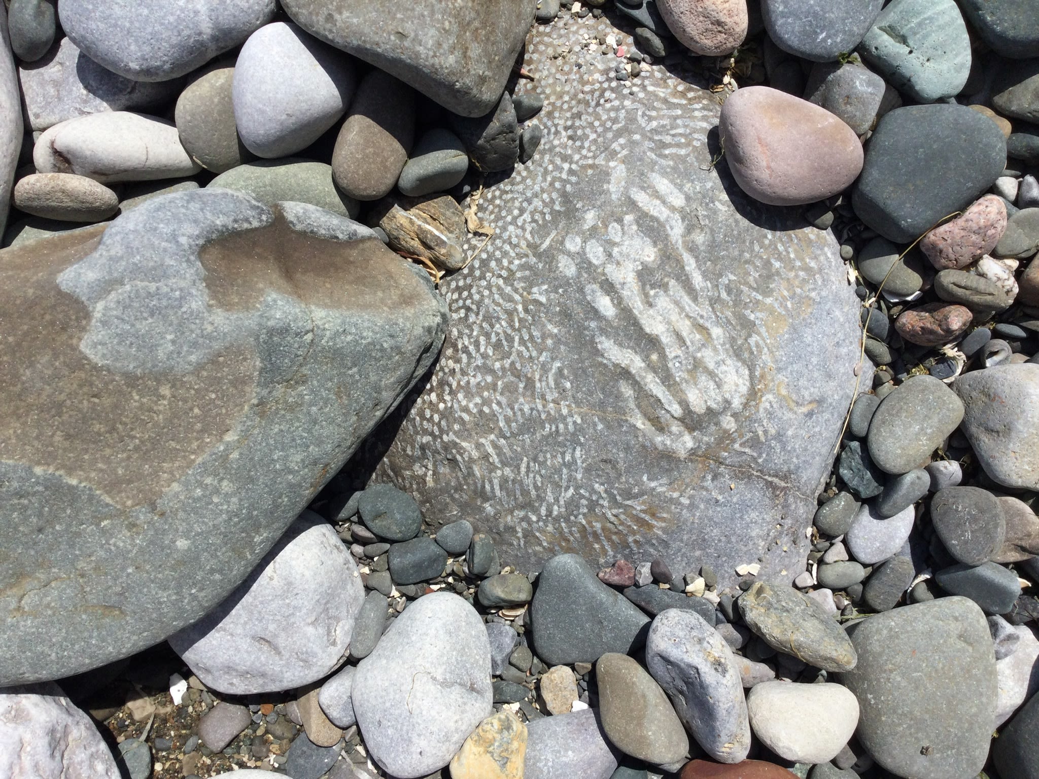


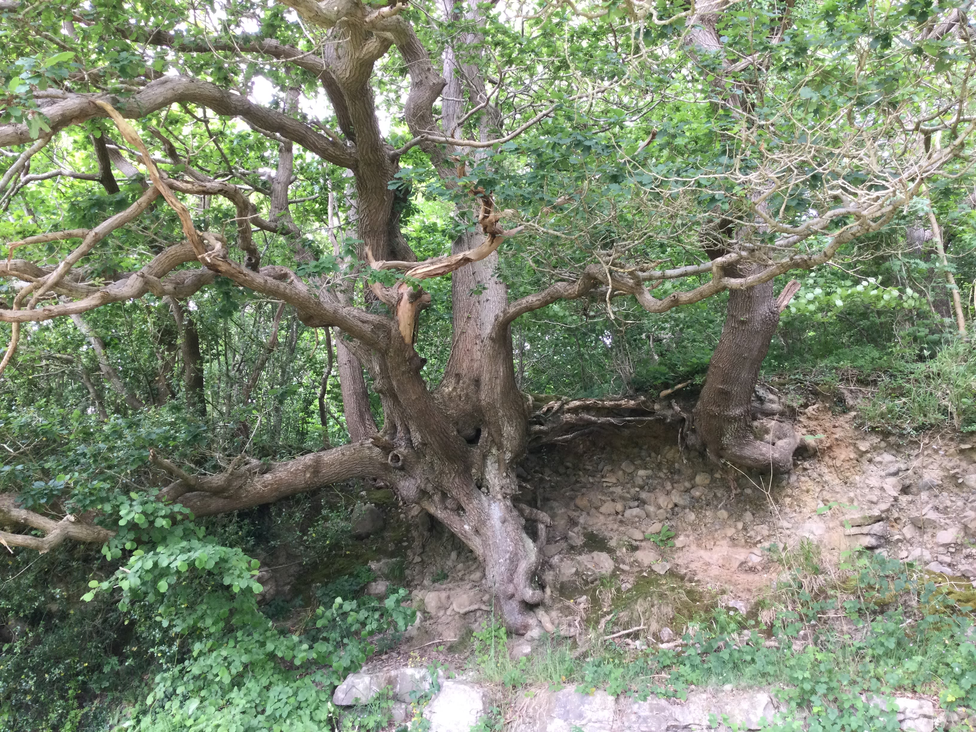
Mile 86 - Gili Armson
A continuation of the coastal walk. More big boulders exposed on the beach and therefore more opportunity to see shapes, lines and colours in them.
Lots of old jetties and fossils….nature’s mark-making in the limestone.
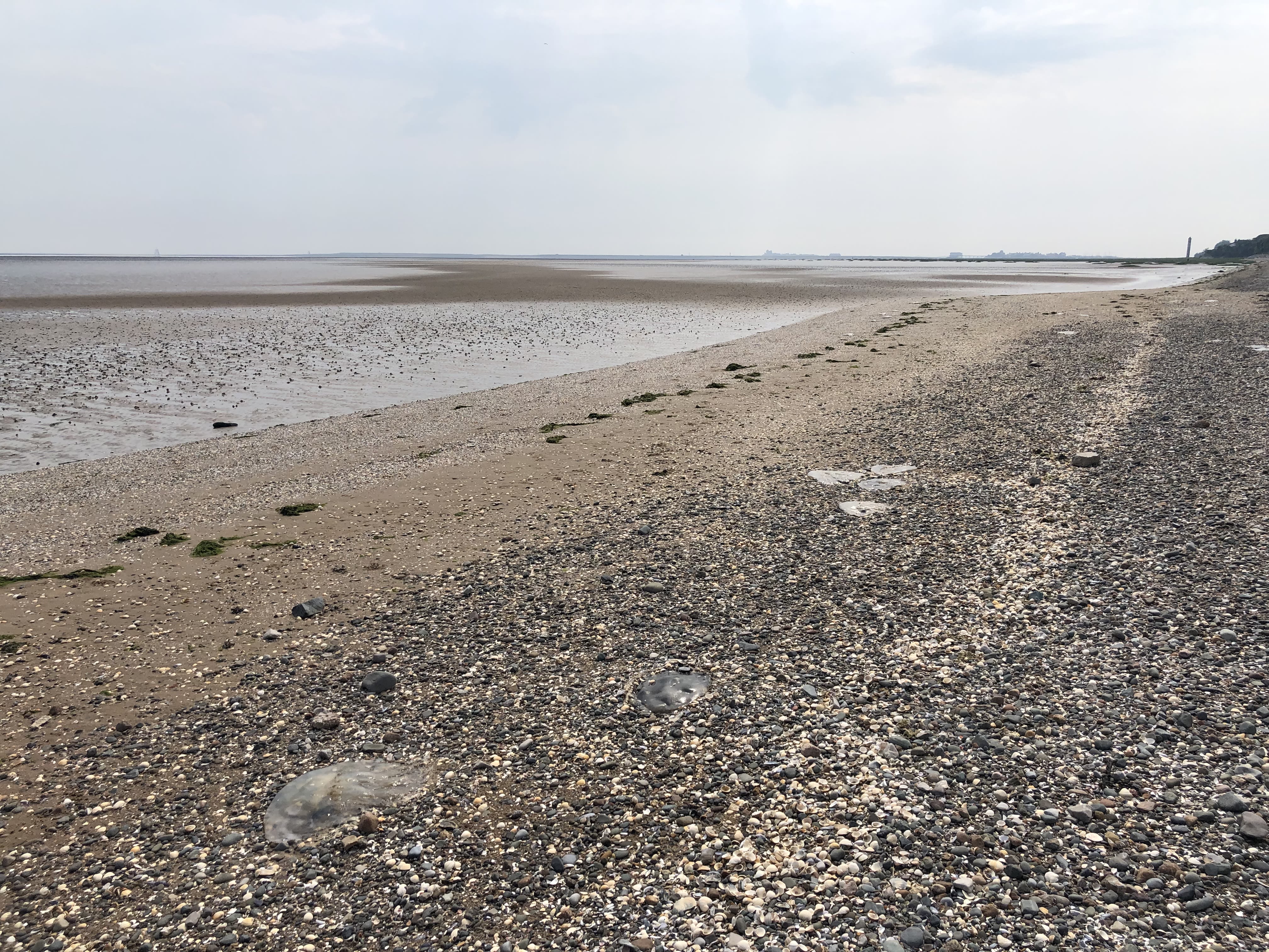
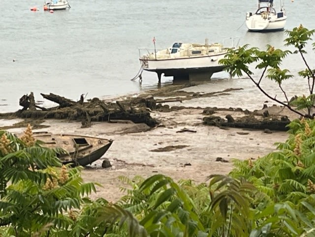
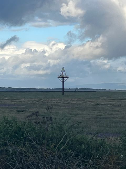
Mile 90 - Rampside
Mile 91- Roa Island
Mile 91 Roa Island
Mile 91 Roa Island
Mile 91 Roa Island
Mile 91 Roa Island
Mile 91 Roa Island
Mile 91 Roa Island

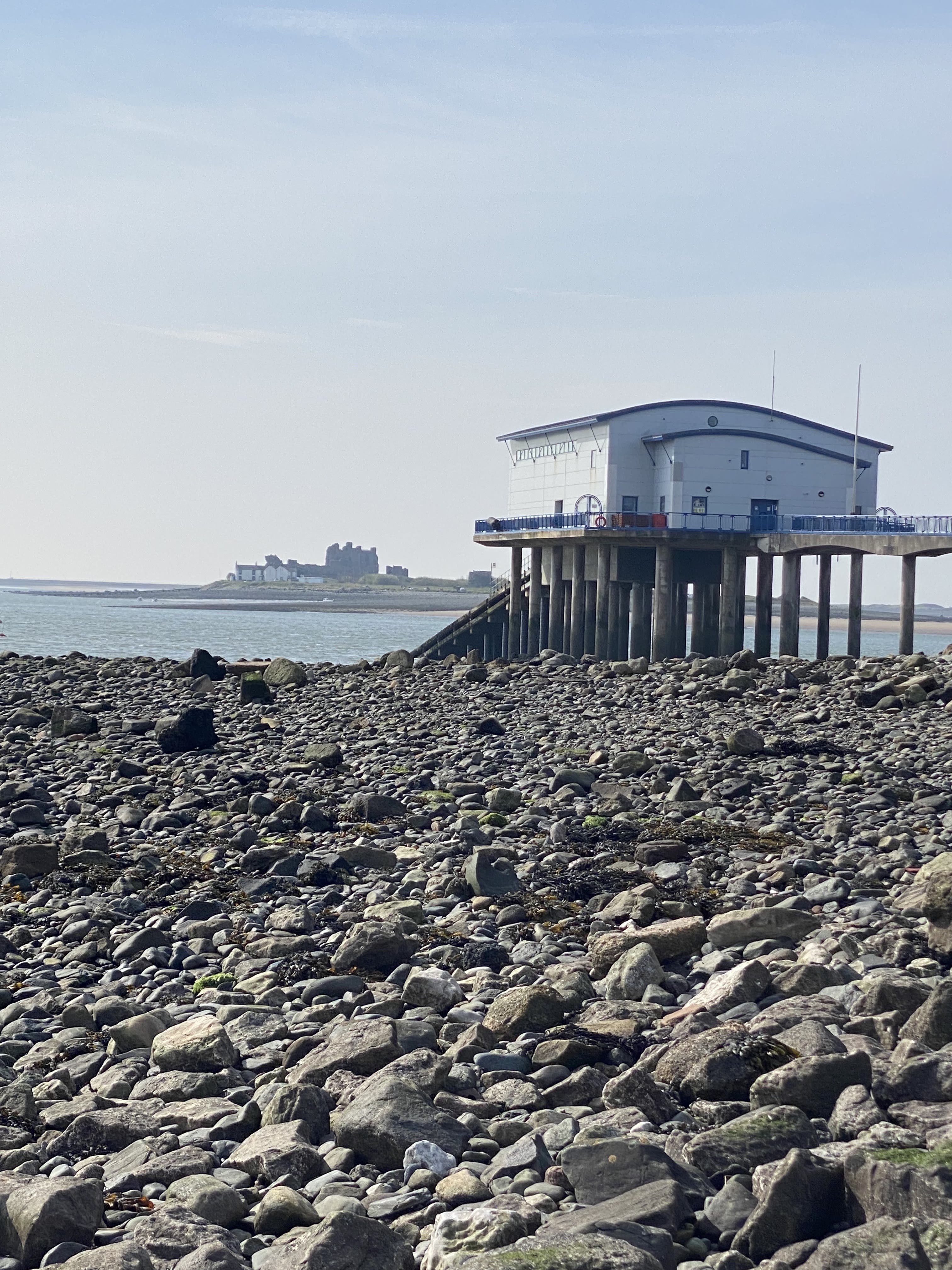
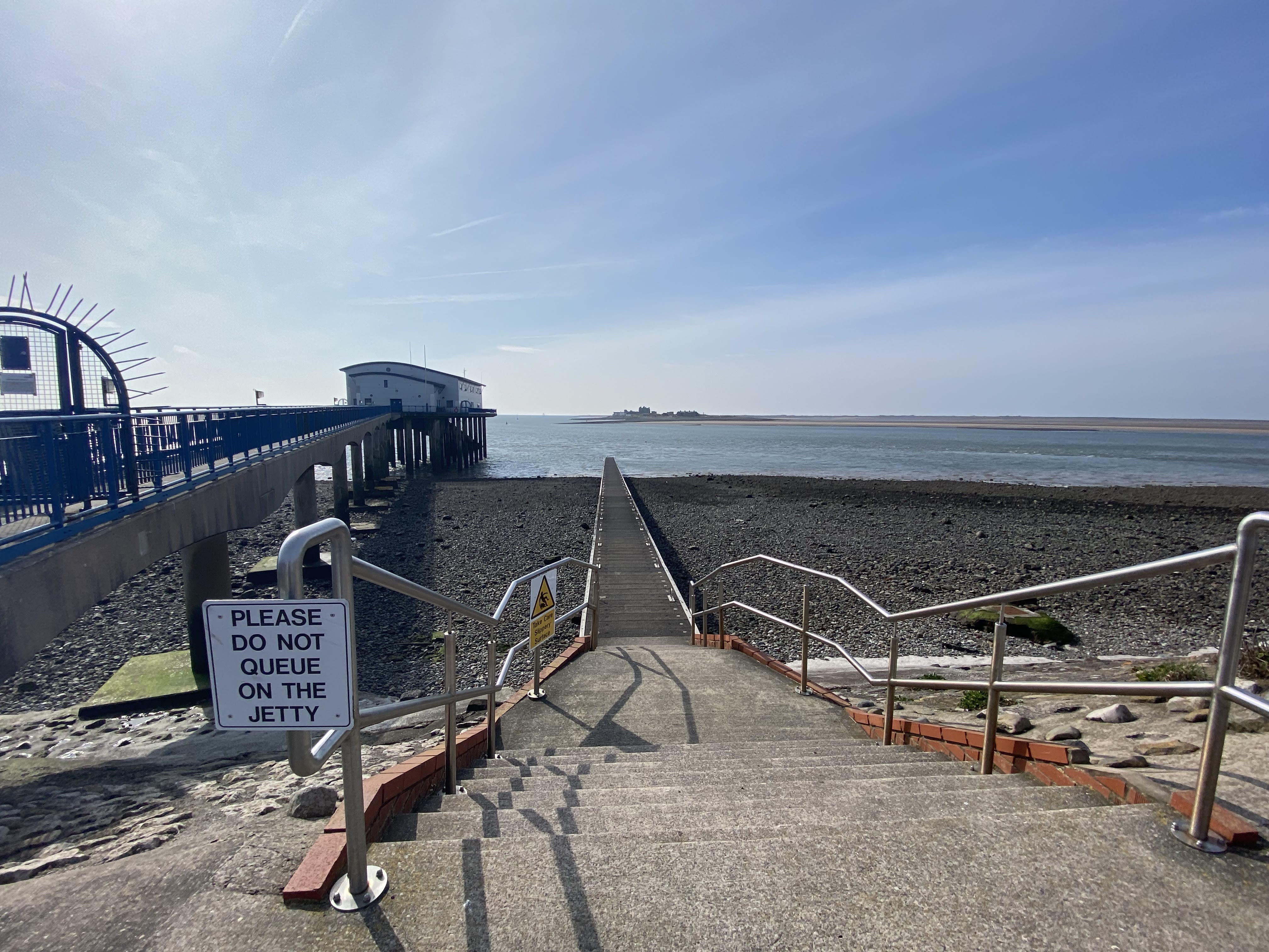
Mile 91. Looking past the ferry landing stage to Piel Island beyond.
Mile 91. Looking past the ferry landing stage to Piel Island beyond.

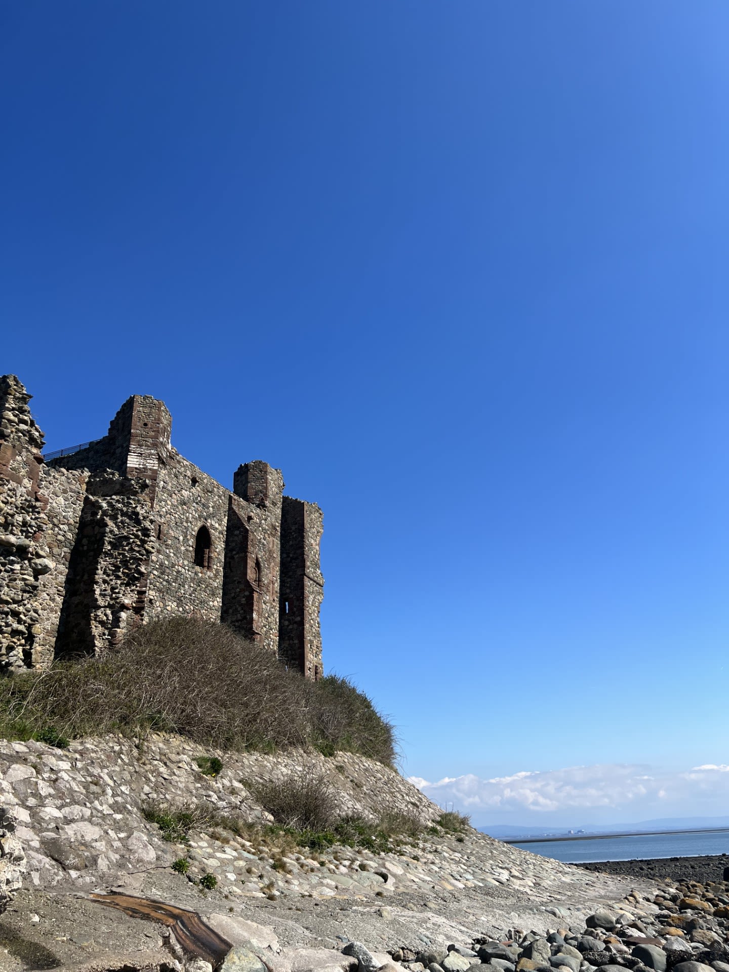

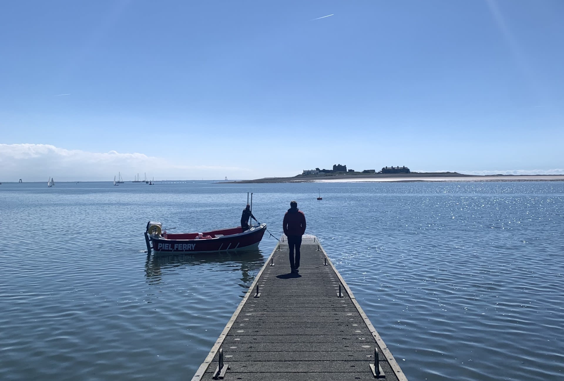
Piel Island - Jane Bradshaw
There’s something tantalisingly exciting about catching a ferry and leaving behind the mainland that fills the visitor with a sense of possibility and adventure. The ever-changing seascapes, the big skies, a sense of freedom and the feeling that you are somewhere just a little bit special. Piel Island – a tiny teardrop island surrounded by the Irish sea is the jewel in the crown of the Cumbrian coast. No fancy ticket office, no departure board, no waiting room….just a long wooden pier stretching out to sea. Weekend adventurers leave Roa Island to take to the almost turquoise sea in an old wooden boat to be temporarily transported to an island brimming with uniqueness and charm.
To one side, expensive views of Morecambe Bay await and to the other, the mighty fells of the Lake District dominate the landscape. Only 50 acres in size but it houses not only the ruins of a 14th century castle but also a 300 year old pub serving local ales to the thirsty traveller, eager to drink in the atmosphere. A truly special place, little known but once visited, is never forgotten. Here’s to hoping that many get to discover it and yet it retains its untouched magic.
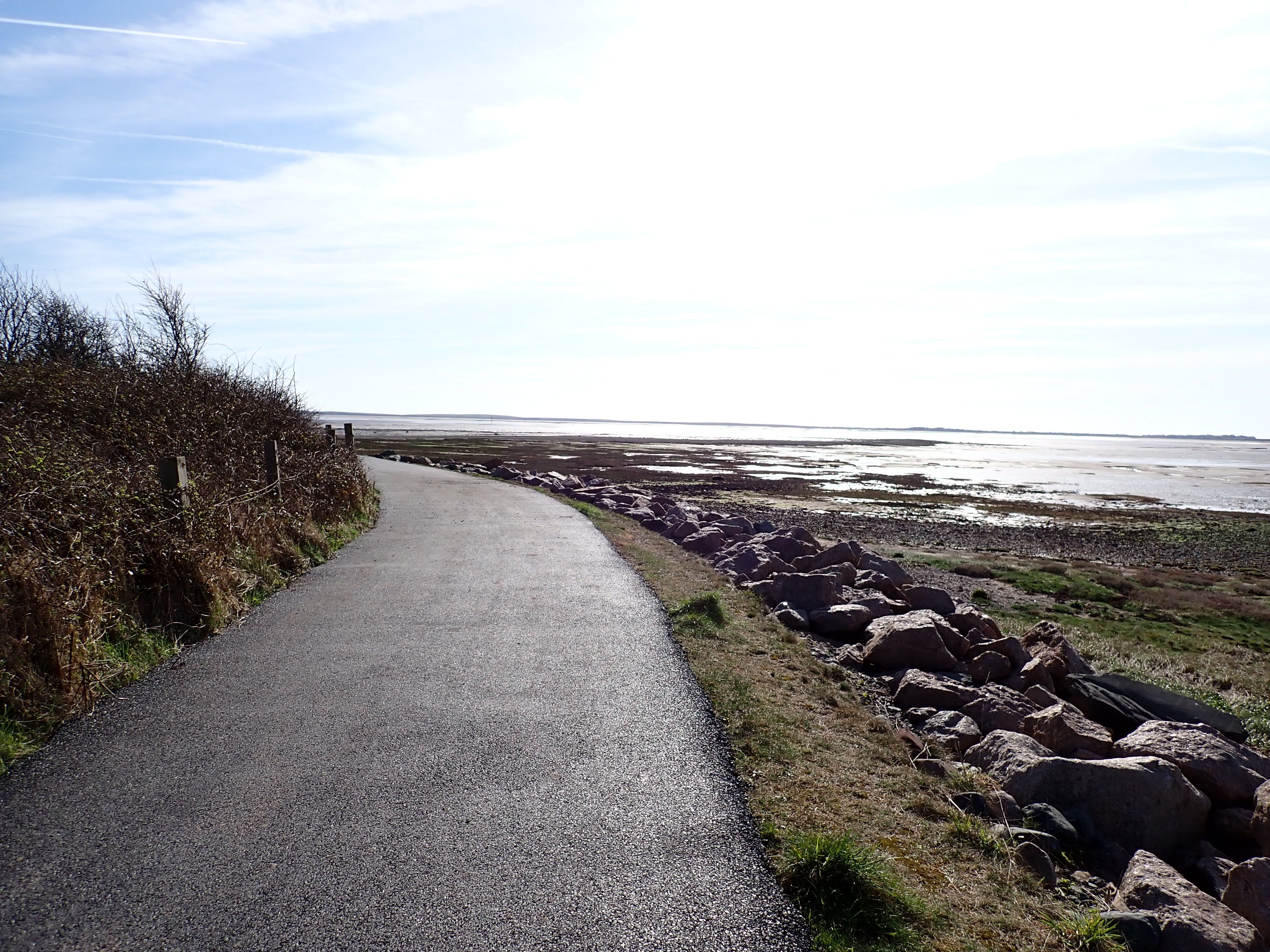
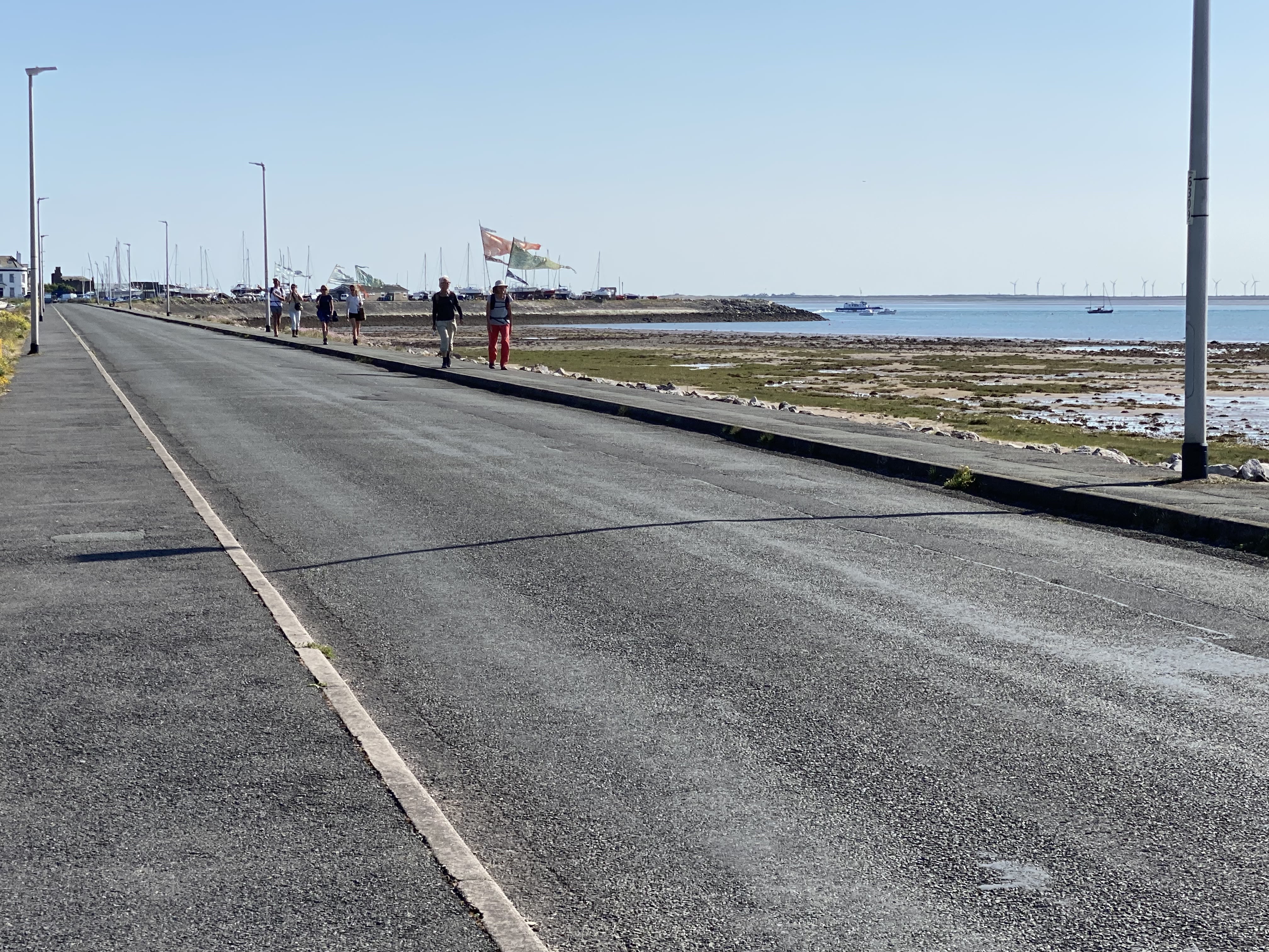
Mile 92. Cycle way between Roa Island and Barrow.
Mile 92. Cycle way between Roa Island and Barrow.
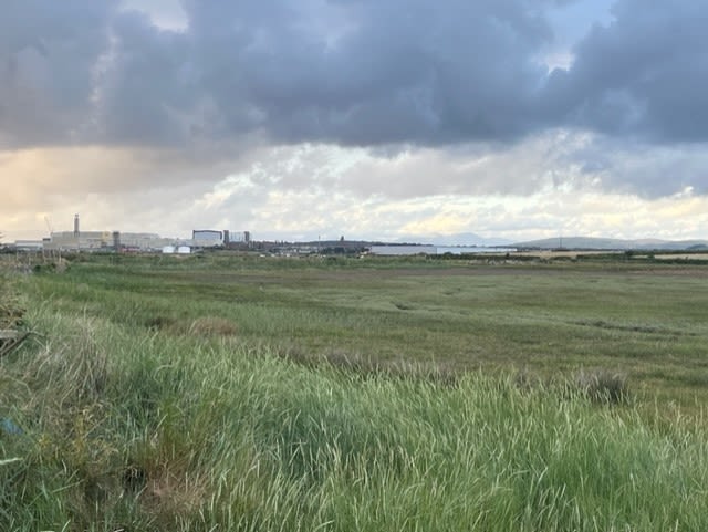
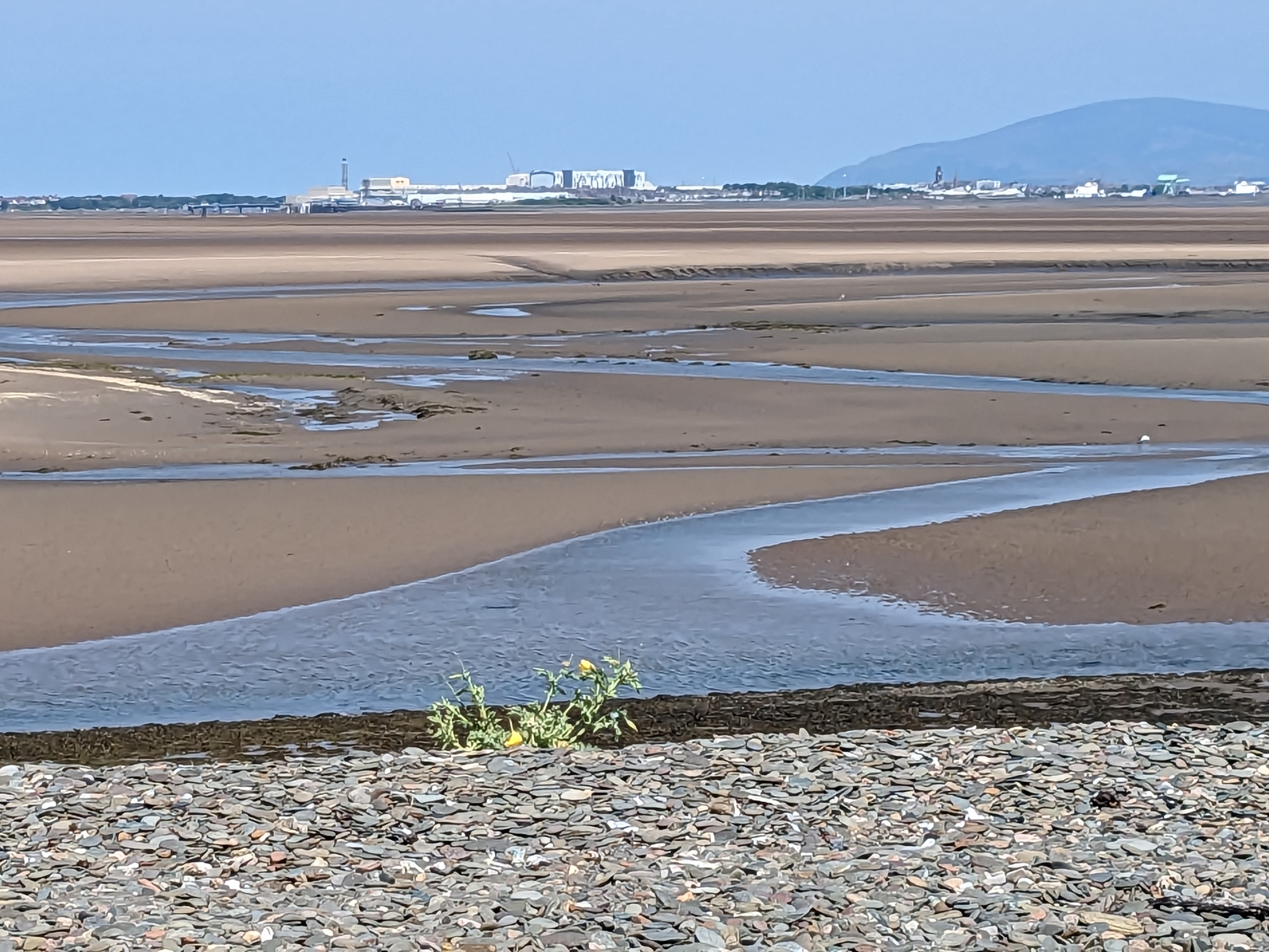
Mile 93. Looking over the Gas Works near Barrow.
Mile 93. Looking over the Gas Works near Barrow.
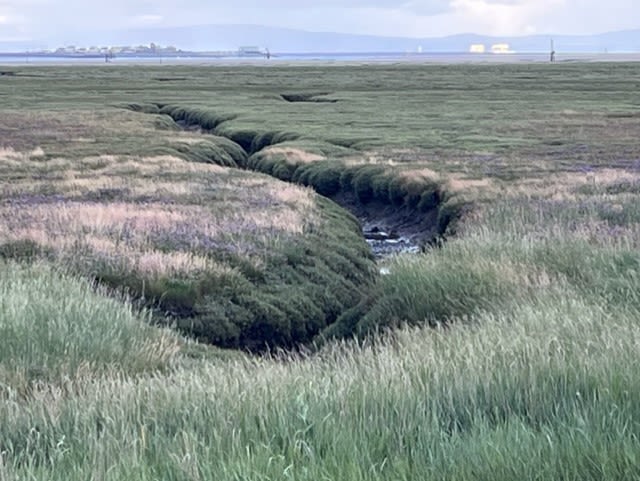
Mile 93. Across the sands with the tide out, looking over to Piel Island from causeway near Cavendish Dock.
Mile 93. Across the sands with the tide out, looking over to Piel Island from causeway near Cavendish Dock.

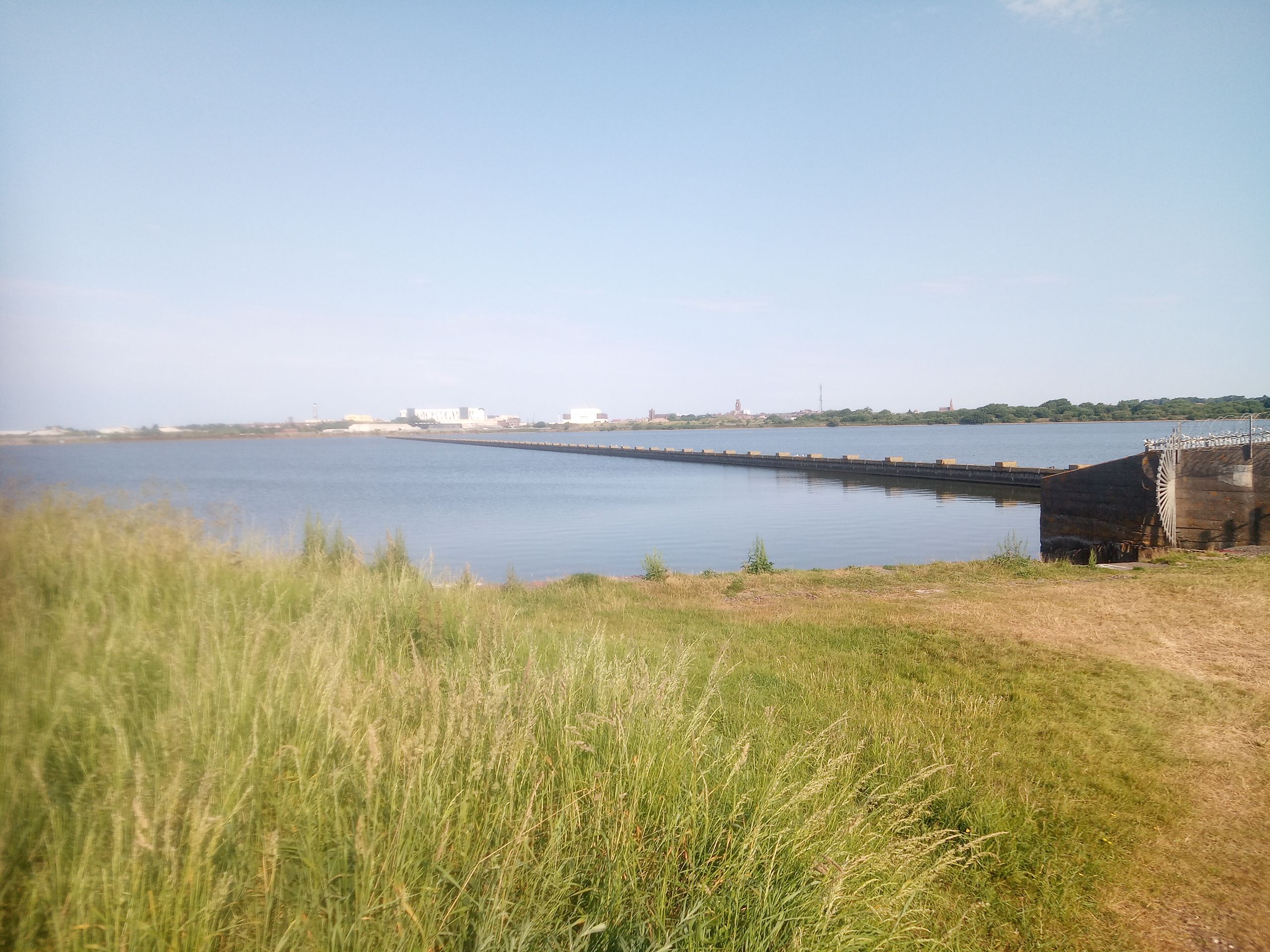


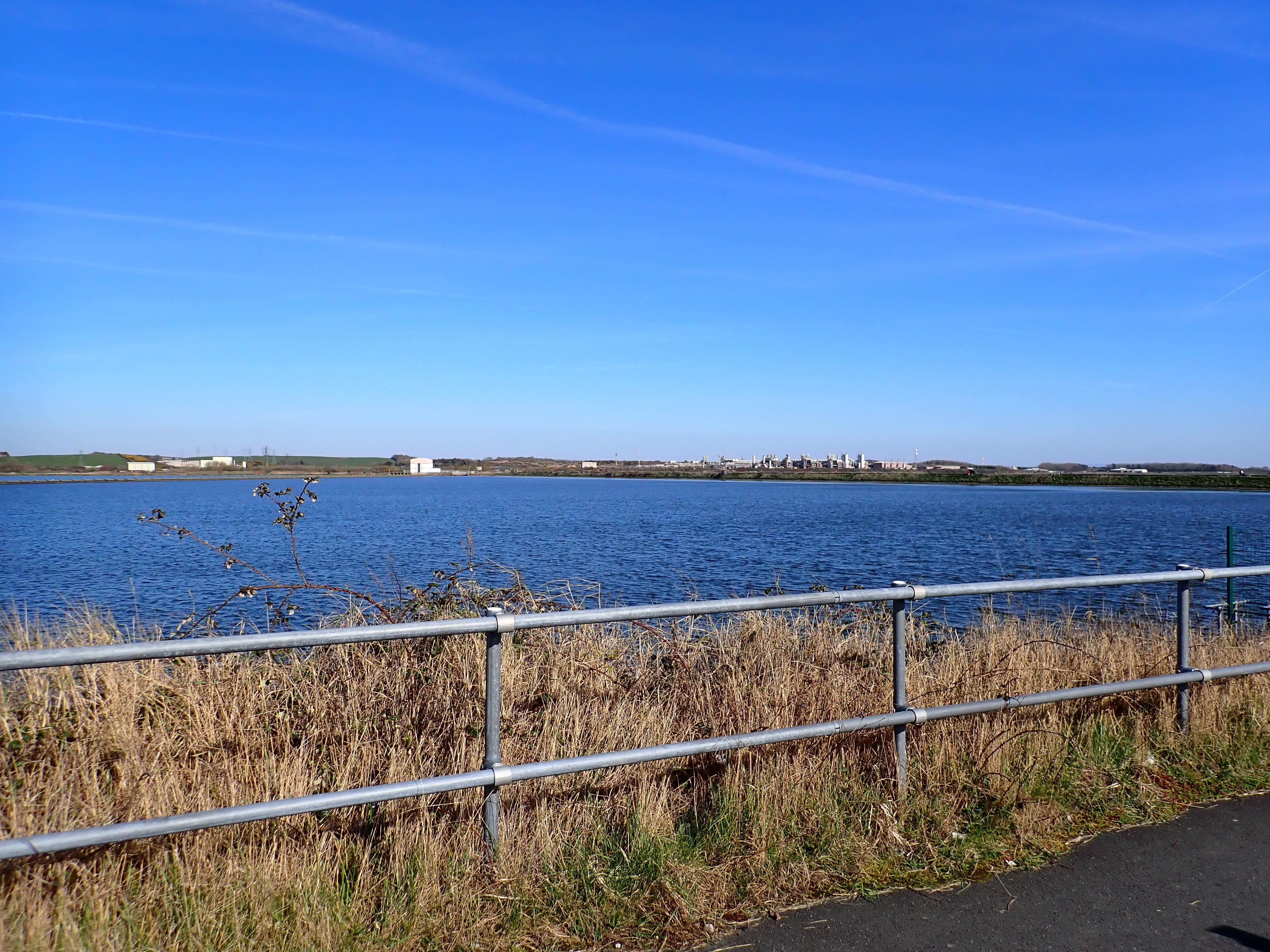
Mile 94 - Cavendish Dock
Susan Benson
I live close to Cavendish Dock and cycle round it daily to work and walk round it weekly, so I see it in all weathers and seasons. The dock wall acts as a boundary between the urban landscape of Barrow and the natural landscape of the bay. In the distance you can see Roa island, the castle on Piel Island, and when it is clear, the lighthouse at the south end of Walney Island.
Susan Benson
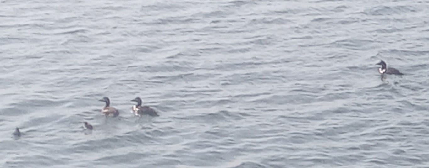
I enjoy looking for the birds such as waders on the shore, particularly curlews in the winter. A lone little egret often stands quietly waiting for fish in one of the channels. Flocks of gold finches swoop past me. Cormorants line up on the pipe going into the dock and oyster catchers fly by calling to each other.
Susan Benson
On a windy day when the tide is in, I love watching the waves crash against the dock wall. The dock has historical interest as well.
HM Airship 1 or Mayfly was built in a shed on the dock. Unfortunately, she broke up on her second outing onto the dock in September 1911. The first seaplane flight also took place in 1911.
I hope that people will continue to have access to the wall so that they can enjoy the views and wildlife. During lockdown, the walks around the dock were essential to people living locally who spent time there during their allowed daily exercise.
Miles 95 to 100 are allocated to to Chapel Island, Piel Island (earlier in this feature) and to the miles of dockland and industry at Barrow-in Furness
Cavendish Dock.
Cavendish Dock.
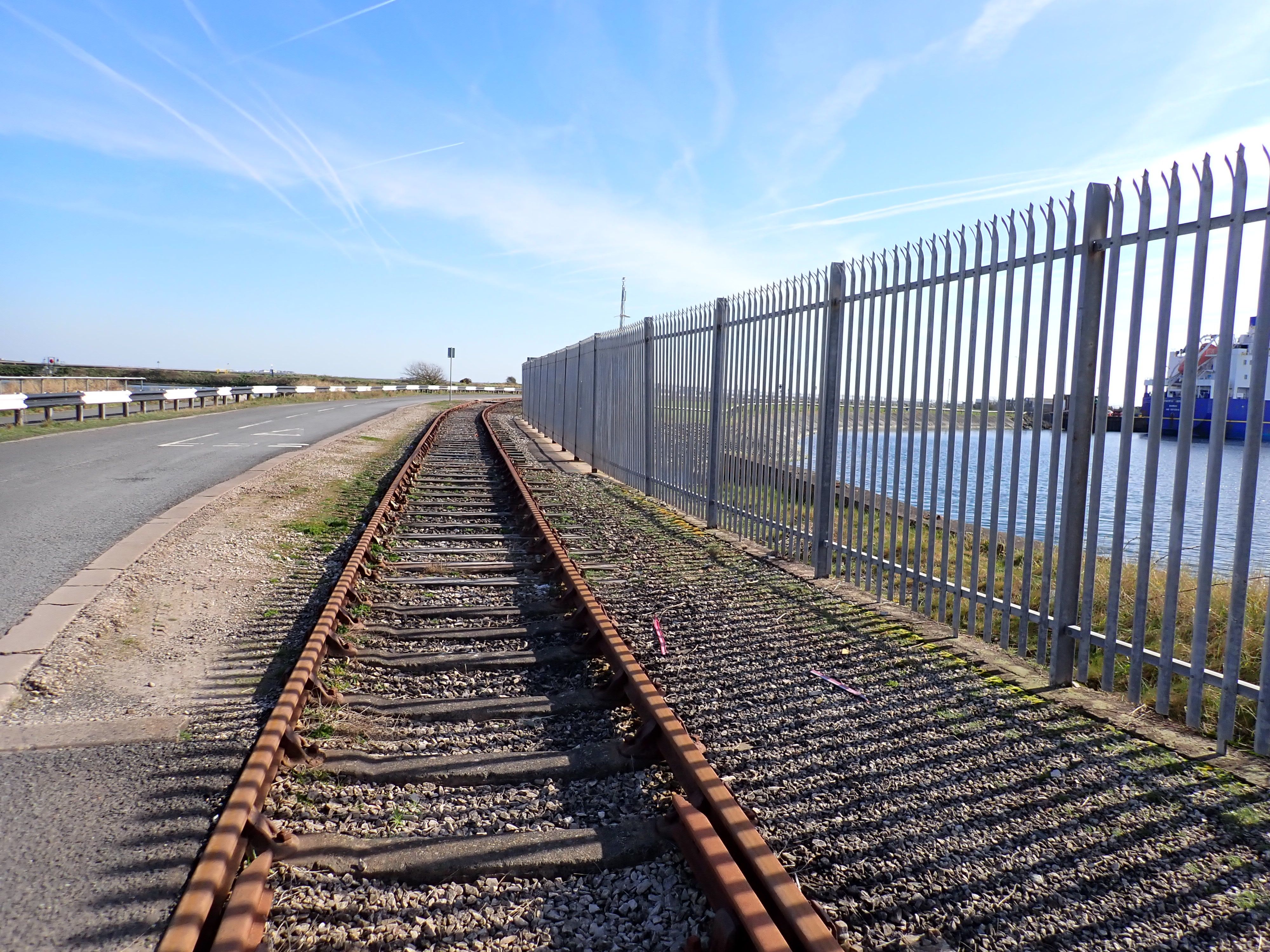
Old rail track near dock.
Old rail track near dock.
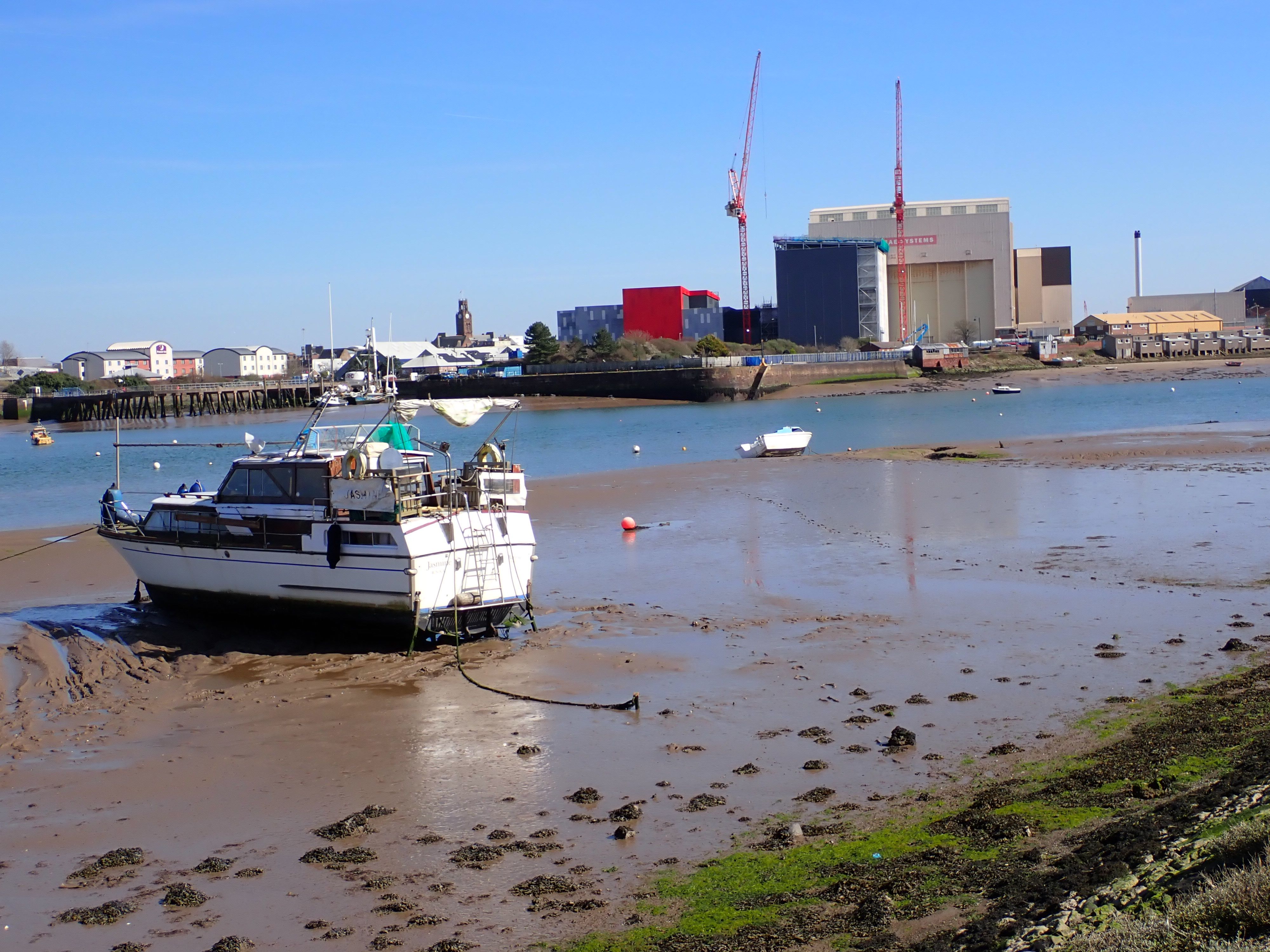
Mile 100 - looking across the docks and BAE Systems in Barrow centre.
Mile 100 - looking across the docks and BAE Systems in Barrow centre.


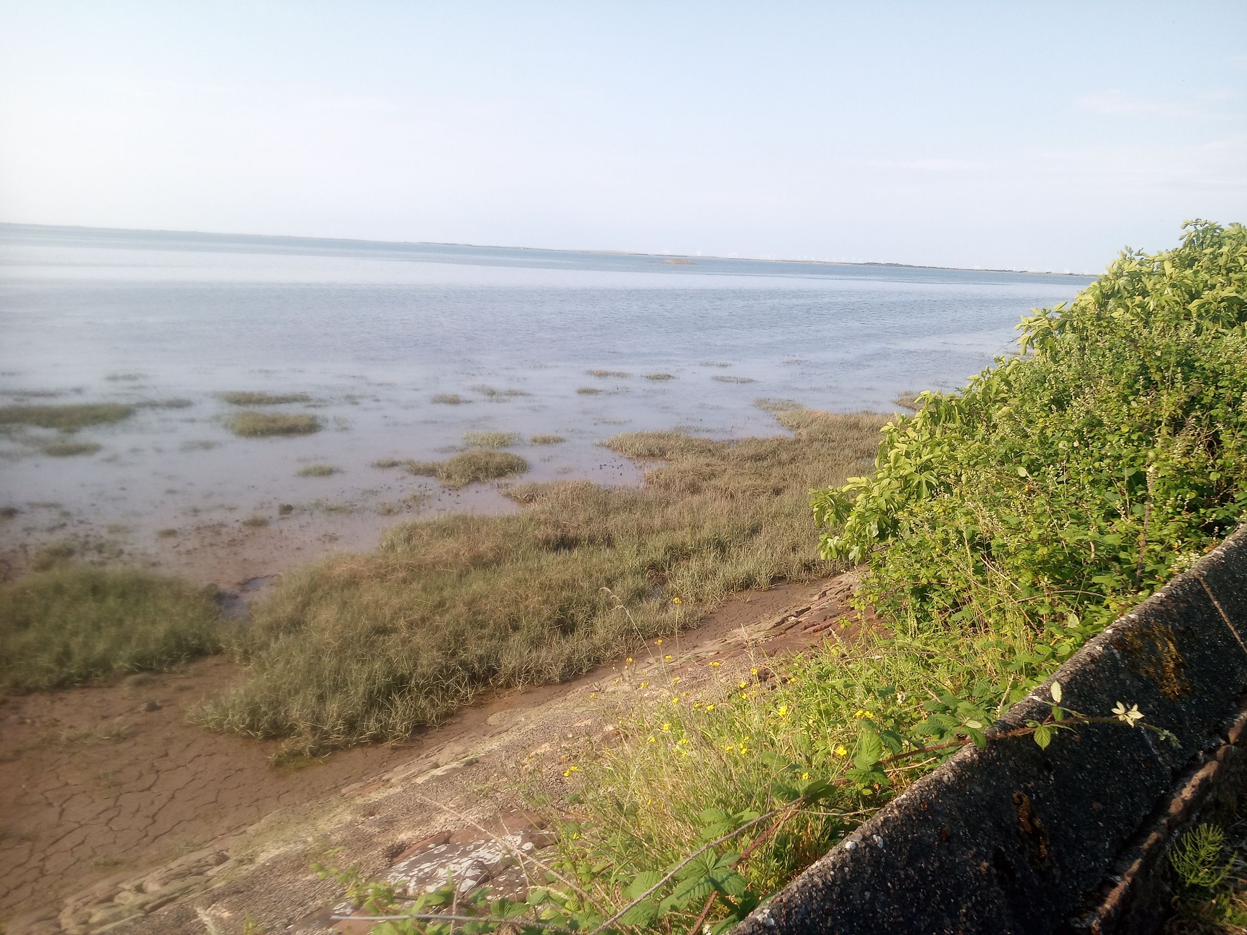
Miles 101 to 105 - South from the Jubilee Bridge, Walney Island
Christopher Thexton
Mile 101
The Bascuke Bridge of Walney connects the town of Barrow-in-Furness with Walney Island, or Isle of Walney. The bridge was built to commemorate the diamond jubilee of Queen Victoria but was not officially named Jubilee Bridge until 1935 when it was unveiled to celebrate King George V silver jubilee. Spanning 343 metres, the bridge is the only vehicular access to the Island.
The road leads to both North and South Walney Nature reserves which are home to an abundance of wildlife as well as access to the vast beaches that by the Irish Sea where on clear days you can see North Wales, Scotland and the Isle of Man.
Walney Island Bridge and Walney Island inspired the Reverend W. Awdry when he was writing the Thomas the Tank Engine books - the bridge being the Vickerston Bridge in the books.
This particular mile is close to my heart as a 'Walneyite' as I know that once I reach the bridge I am only 5 minutes from home.
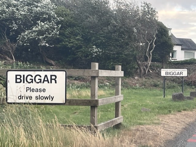
Mile 102
This area of Walney is particularly partial to the occasional flooding when the sea rolls in and lashes over the roads, it almost cuts off the area of Bigger bank with the rest of the island.
Inaccessible to humans due to the nature of the sands this area is a hive of activity for birds and wildlife
Mile 103
This mile is part of my usual 5K run which I like due to the quietness of the area.
It also gives you good views over the channel to BAE as well as to be able to see the Islands of Piel and Roa.
The mile is a hive of wildlife and a haven for birds. It also leads in to the village of Biggar where there is a nice pub that serves food and drink
Mile 104
This mile that takes in the edge of Biggar village and is full of wildlife, although prone to flooding on a high tide.
Mile 105
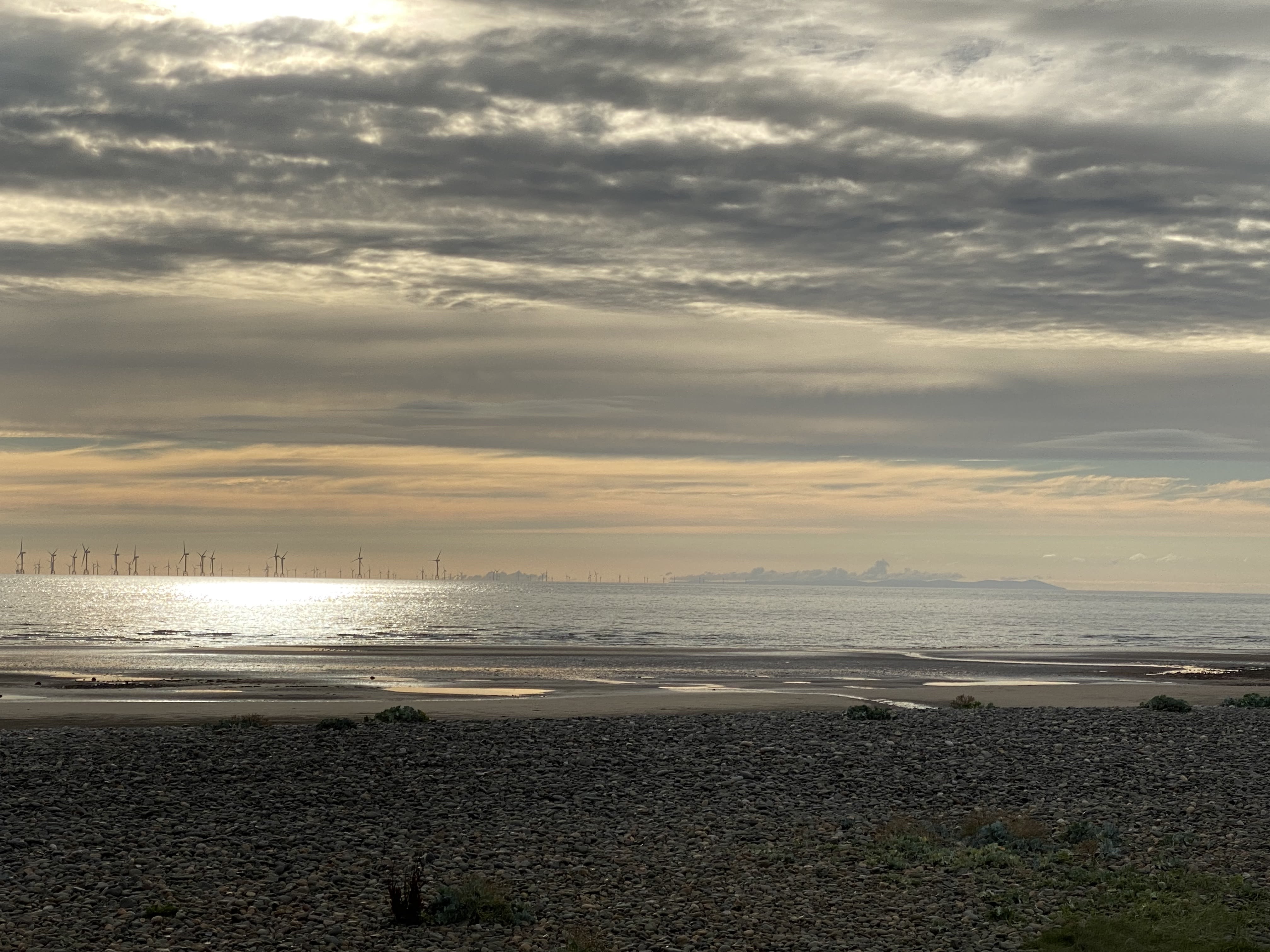
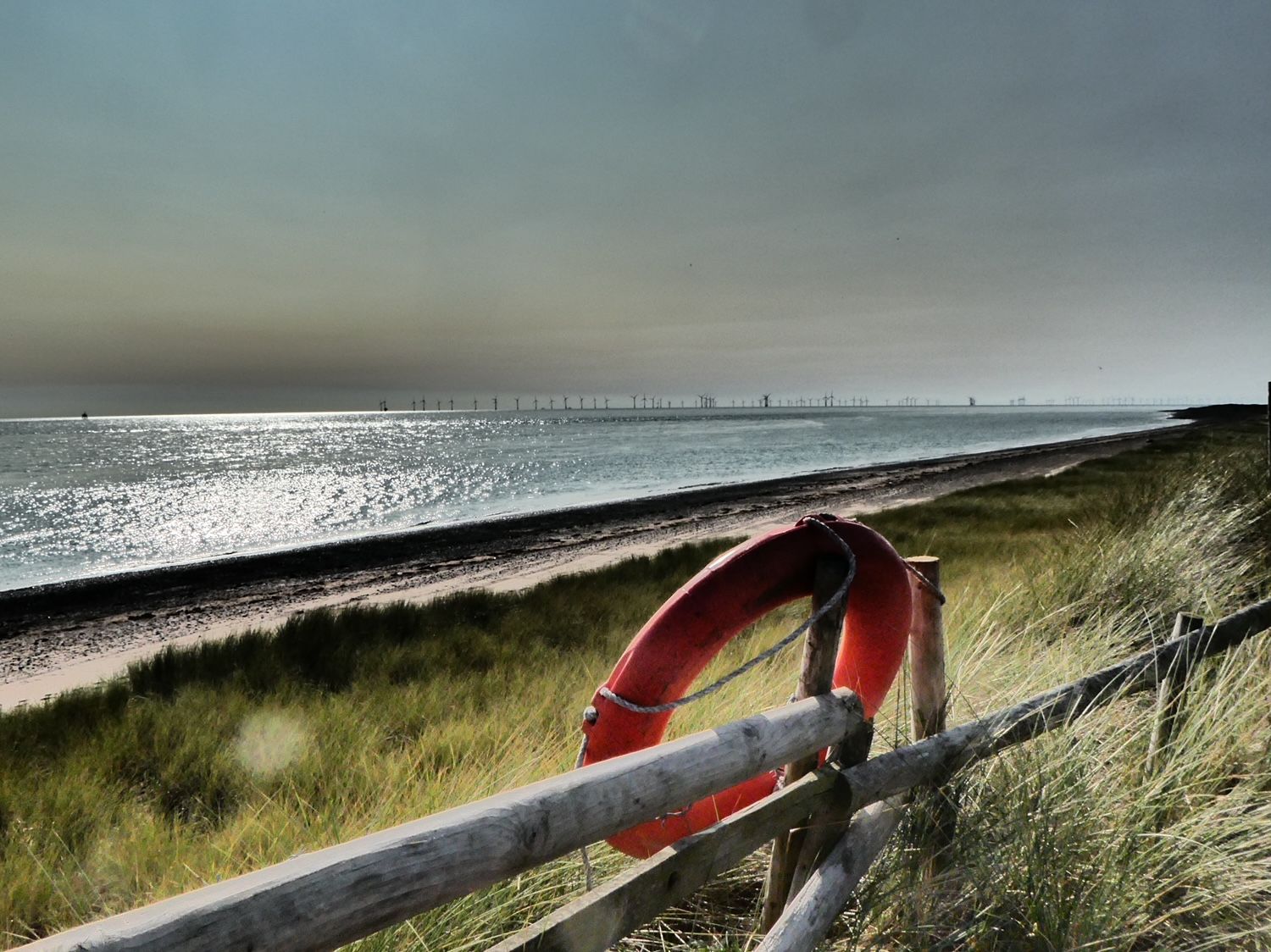
This mile offers a stunning view across Morecambe Bay and towards Heysham power station.
This picture shows a wind farm boat that takes its crew out to the massive wind farms in the Irish sea, this channel is also used by BAE when it launches its submarines and ships, and once navigated, it opens up to the vast Irish Sea.
From South Walney looking over to Piel Island and its castle.
From South Walney looking over to Piel Island and its castle.
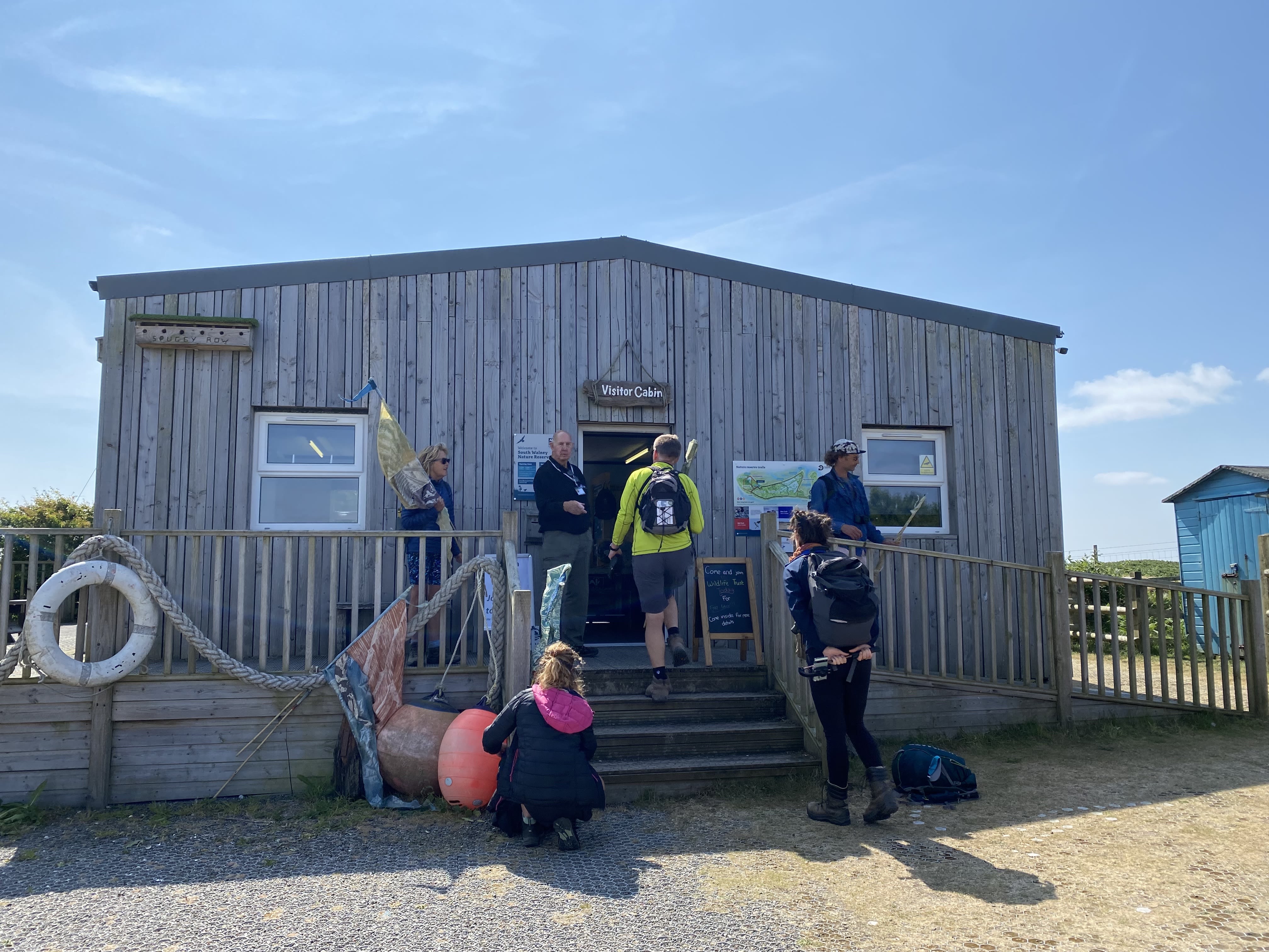
South Walney Nature Reserve - Cumbria Wildlife Trust.
South Walney Nature Reserve - Cumbria Wildlife Trust.


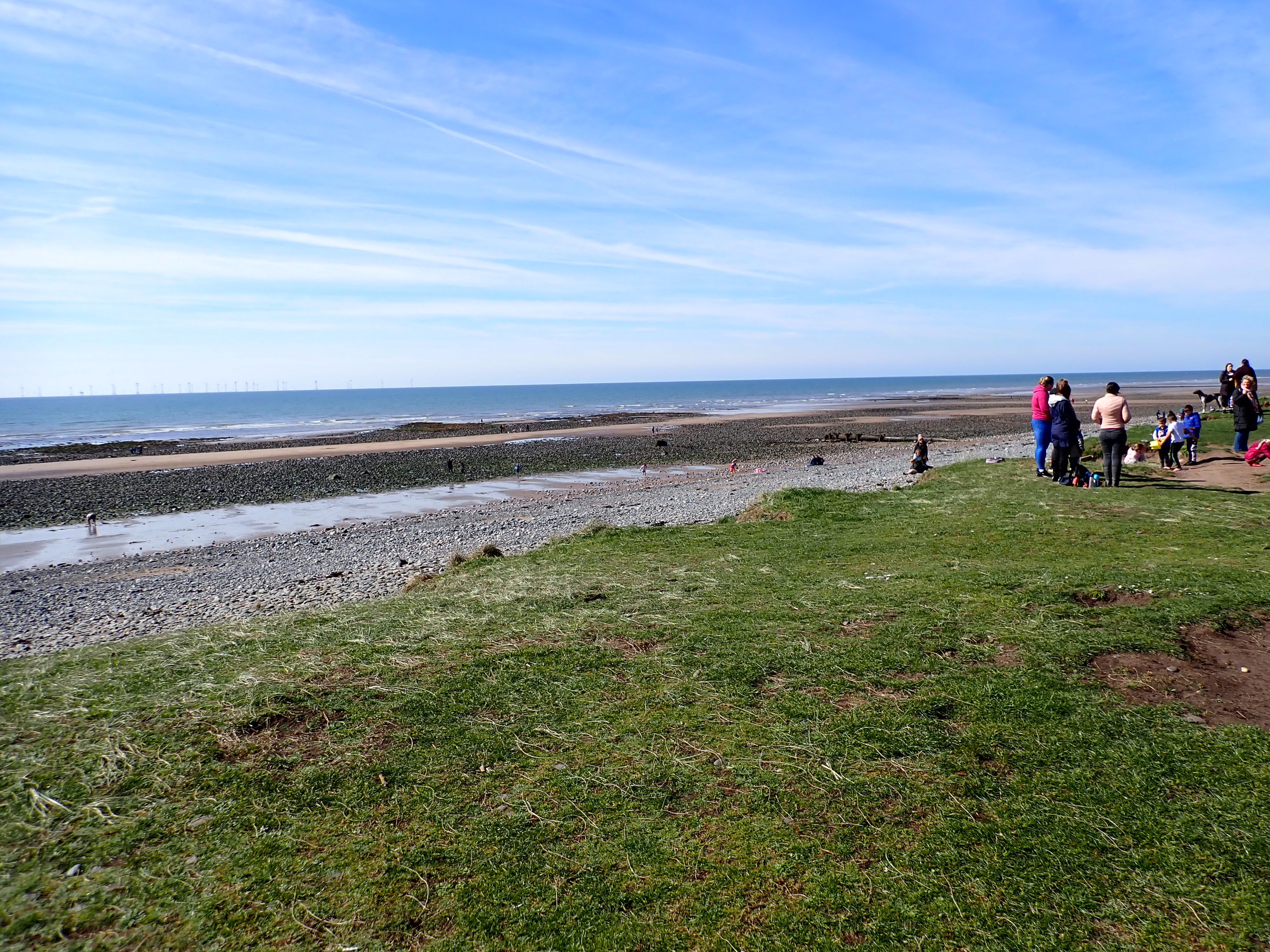
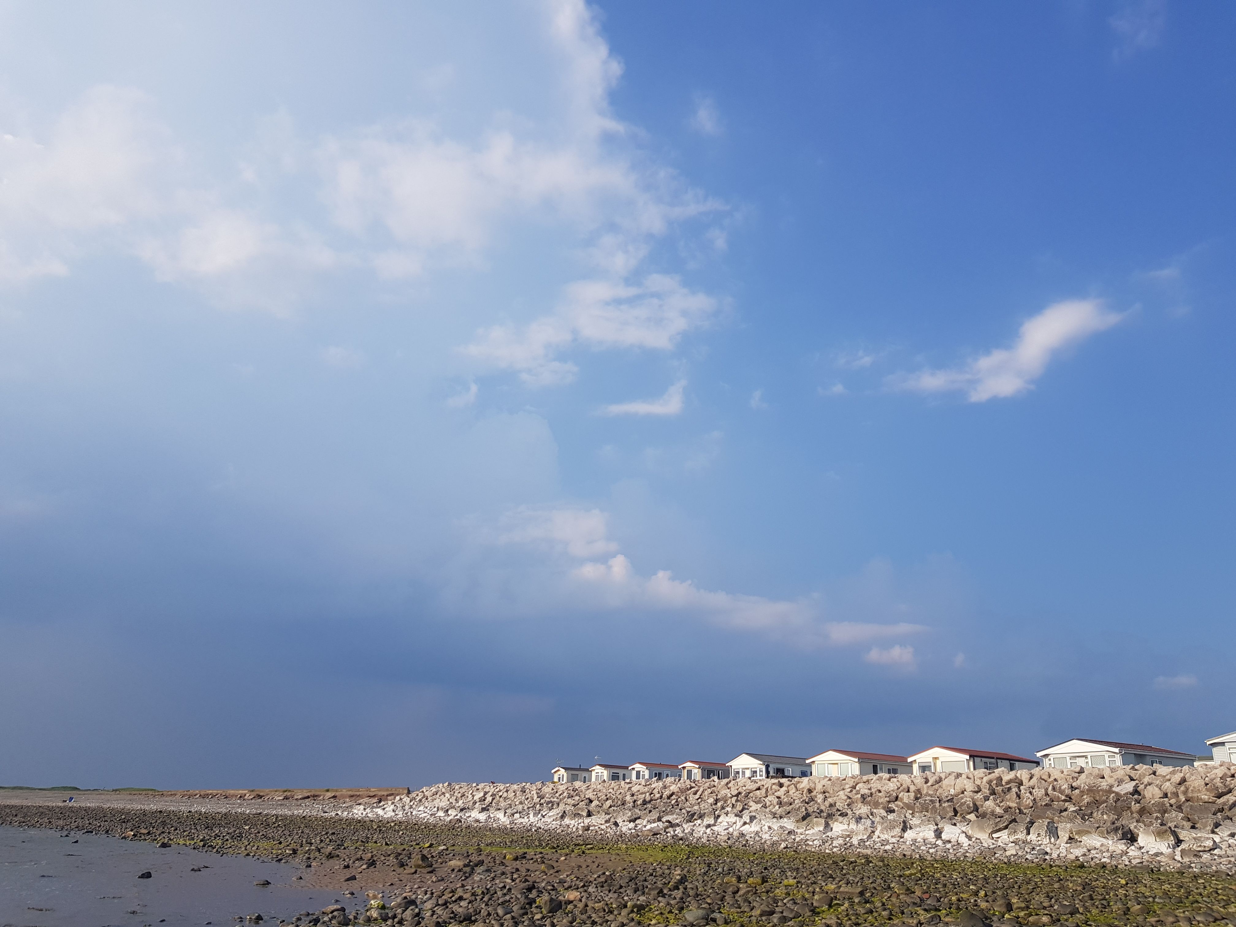
Mile 108 and 109 - South Walney
Amber Woods
At the northernmost tip of Morecambe Bay, just off Barrow on Walney Island, is a Cumbria Wildlife Trust Nature Reserve called South Walney. I have been lucky enough to call this place home and it has been whilst living here - surrounded on all sides by the wild and stormy Irish Sea, that I - for the first time since I was a child - have truly come home - in the psychological sense of that word. And this for me has been a life changing (and) unforgettable experience. During this past year I have worked as the Trainee for The Bay Programme (a collaboration between the Cumbria and Lancashire Wildlife Trusts and the new northern branch of the Eden Project). It has been a deeply therapeutic process for me, and living at South Walney has played an important role in this.
The wind here brings me deep into my body and it is such a beautiful way to wake up. As soon as I exit my car or house the wind tends to (depending on the season) lovingly, brusquely or even cruelly, slap me around the face, and in the eyes and nostrils, and whisper (or shout or growl!) at me to - Wake Up. By touching, ravaging or pulling at me - at my clothes and belongings - and whatever mood the wind is in, there is something so enlivening, awakening - sensational even - about being touched all over by flowing air. Even though sometimes it steals my belongings and irritates and annoys me - it often feels like the ultimate luxury although it can be a punishment. Mostly it is an invitation and even sometimes in winter - it, or its cold still brother - (on quiet days when the ocean reflects the sky), has coaxed me out of my warm cottage, into the outdoors and into my senses.
My hope for this stretch of coastline is that more people around Barrow get out and exploring their coastline and that they realise the secrets of this place. This crooked detailed, exquisite even, gem of an Island that I live in and on.
Mile 109 Amber Woods
The wind at South Walney takes me back to my childhood home on the East African coast. Curiously - for the first time in my life since being a child - I have come home. I have fallen in love with Cumbria, with the land, with the sea, and with the people (speaking as an ex anxiety-ridden introvert this is quite special for me).
Living so close to nature has made me realise the true therapy that nature gives. Before this, it was a literary/academic knowledge -even though I considered myself deeply interested in nature and its effect on our mental health I had never experienced it first-hand.
Throughout my twenties I suffered from a deeply rooted mental illness. Working with The Wildlife Trust’s programme The Bay Project - has pulled me out of my social isolation and fear of people and has brought me home, psychologically. Seeing the programmes impact on people’s lives every day has shown me that it has this effect for others also.
Barrow may not have a lot in terms of economy and job prospects. And yet, the Furness peninsula is one of the many under-appreciated coastal secrets of the British Isles. Who needs Easyjet when you can go to the extensive deserted beaches on Walney!? The opportunity to share this vision with the people we work with every day has been a gift. The coastal habitats around the peninsula are and can be a source of inspiration, and even new life, to local people - to parents and their children, to teachers, social workers and contractors just moving through. Amongst the juxtaposition of the peninsula's wild beauty, the sand dunes and the salt marshes, the unforgettable sunsets - with the post-industrial wasteland of downtown Barrow - My hope is that Barrovians appreciate the secret beauty of this place, their, our, home.
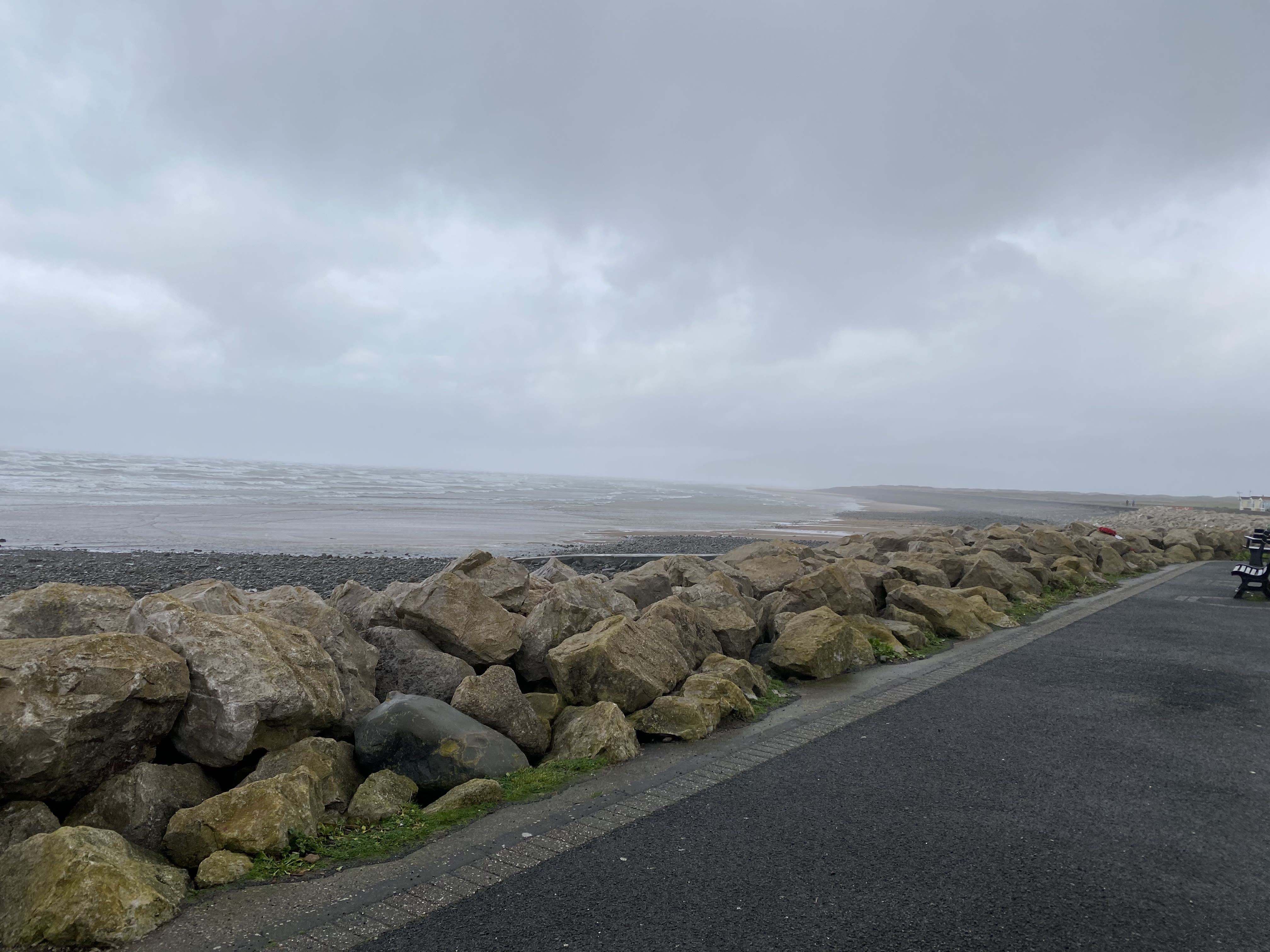
Mile 110. Wild seas on the west coast of Walney.
Mile 110. Wild seas on the west coast of Walney.
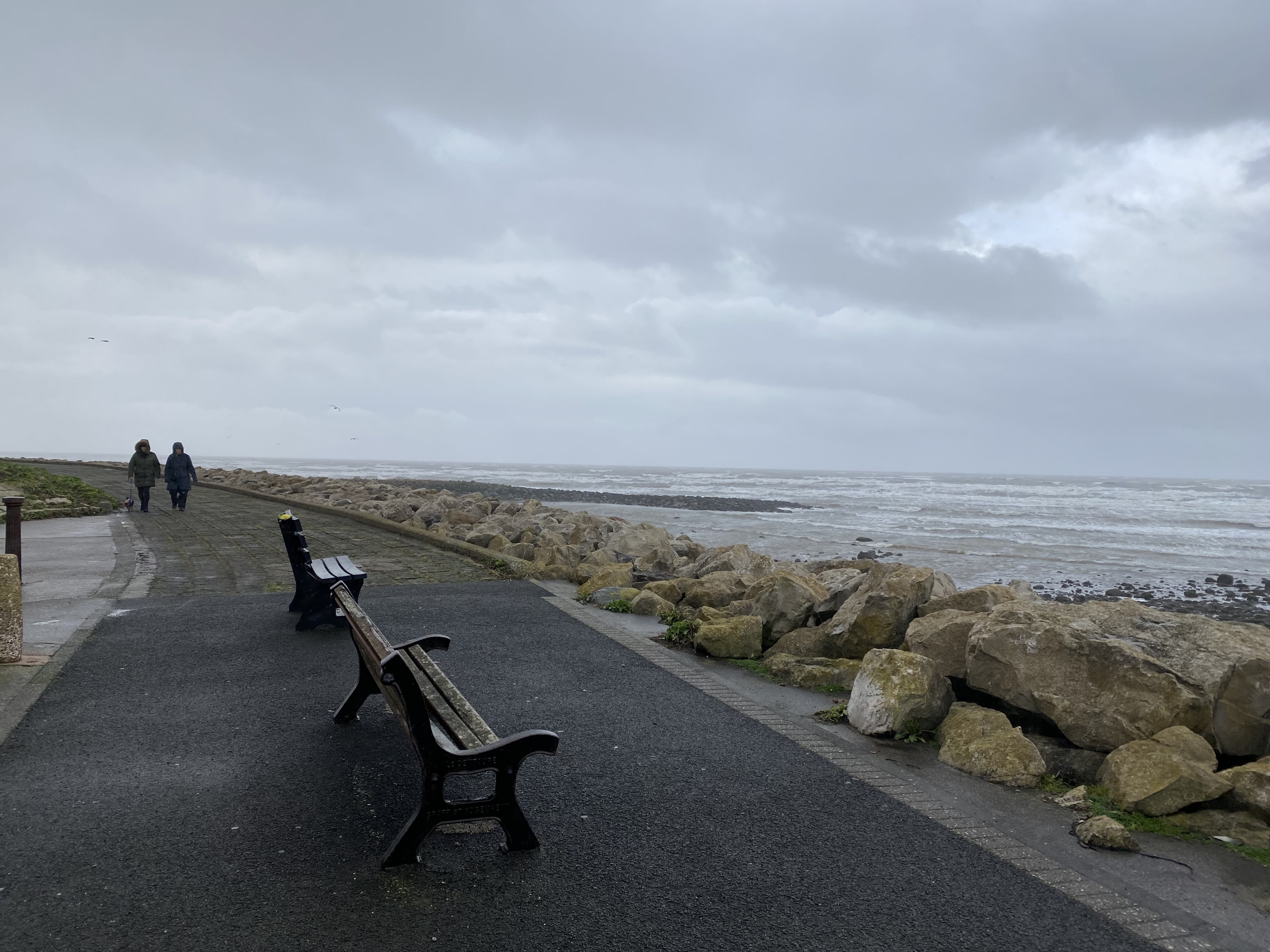
Mile 110. Walking in the wind. West coast of Walney.
Mile 110. Walking in the wind. West coast of Walney.
Mile 112. Wind farms off Walney.
Mile 112. Wind farms off Walney.
Mile 112. Near the Round House Hub and Cafe.
Mile 112. Near the Round House Hub and Cafe.
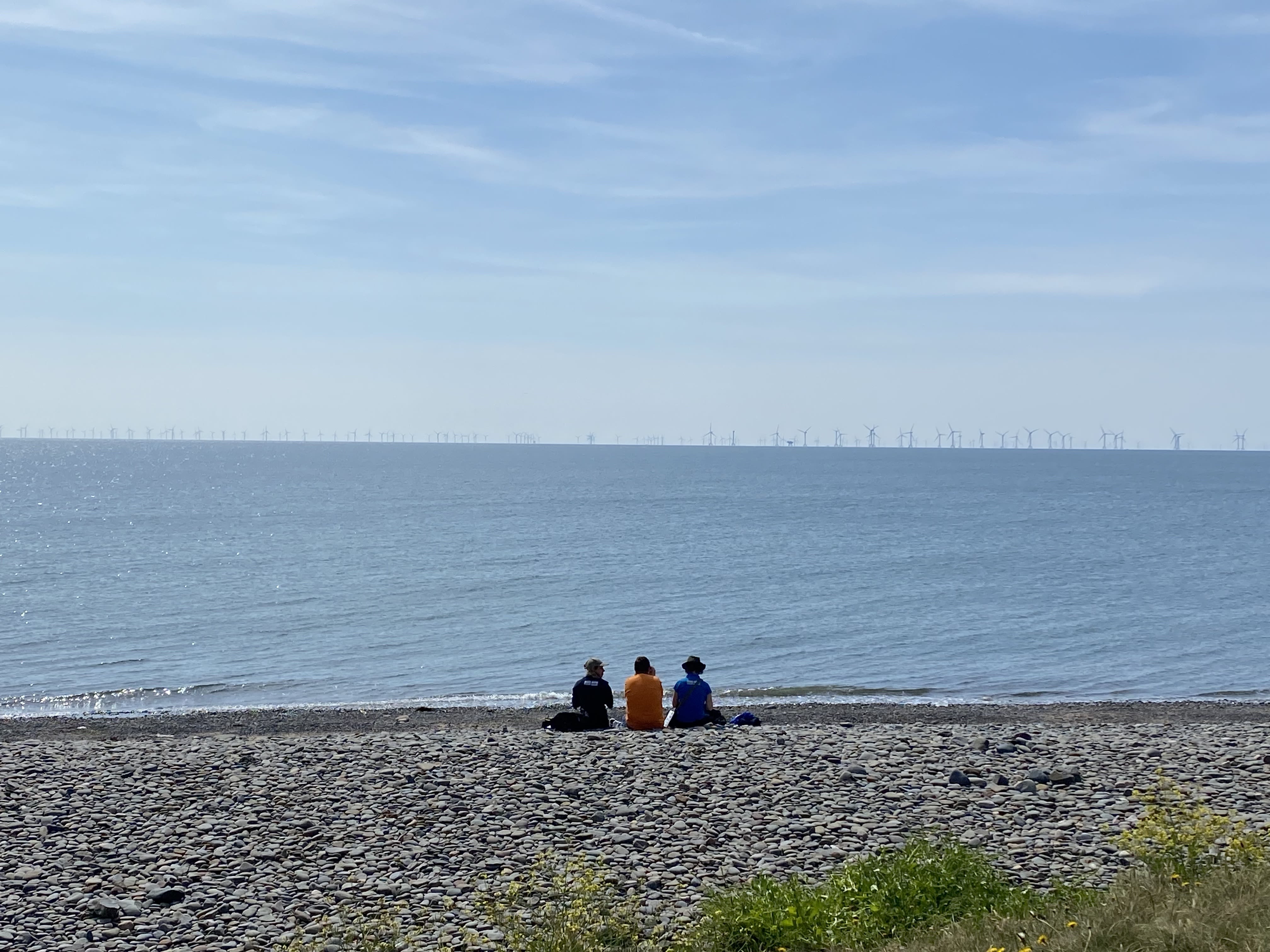
Sitting on the beach near the Round House Hub and Cafe.
Sitting on the beach near the Round House Hub and Cafe.
Mile 113 Richard Harrison
When a parent passes, we say that we’ve lost them. But they’re also still with us through our memories and thoughts. We’ve lost our parent and we feel that loss, and in many ways we feel lost ourselves. But the loss is not complete, they’re still here. Part of grieving is working out how these thoughts and feelings sit alongside each other, within us.

It’s only a few weeks since Mum left. I don’t yet know how the thoughts and feelings sit in me.
This mile of coast (thinking of here, being here) is one of the places where I at least feel that these things (the losing, the being lost, while also still having) are starting to, will eventually find their place in me alongside each other.
The memories of time here as a child with Mum, Dad, my brother. And a ball of fur who was one of the two sweetest natured dogs ever to bark.
The recollection of starting to return there so many years later, with Mum and Amanda – and a furry newcomer Mum always called ‘my little friend’. And of Mum recounting her visits here with her ‘little friend’, when he came to stay with her.
And now the walks along this coastal path, Mum not with us but also with us every step of the way in our thoughts.
This mile combines a sense of its being constant and unchanging, with always changing in ways large and small. And so as well as reminding me of Mum this mile shows me how contrary things exist together; and gives me the belief that in time I’ll find the way that the loss, and the sense of Mum always being there for me still, will sit alongside each other for me.
Walking on Walney. Photo by Richard Harrison.
Walking on Walney. Photo by Richard Harrison.
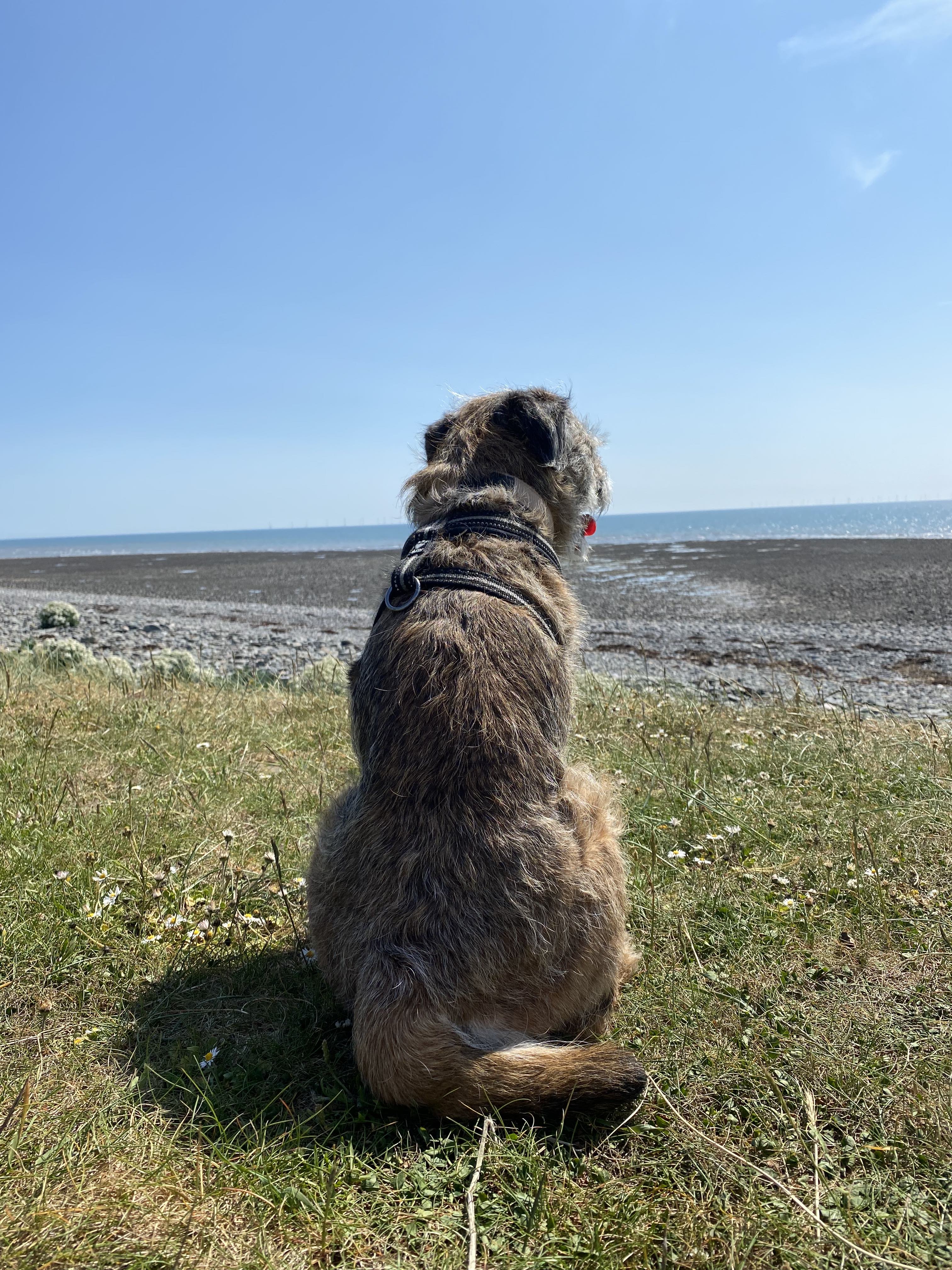
My little friend. Photo by Richard Harrison.
My little friend. Photo by Richard Harrison.

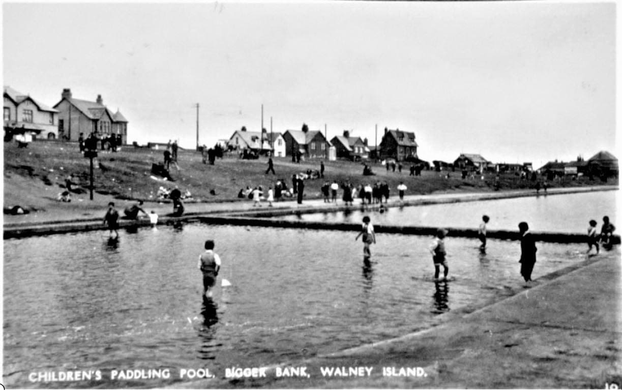

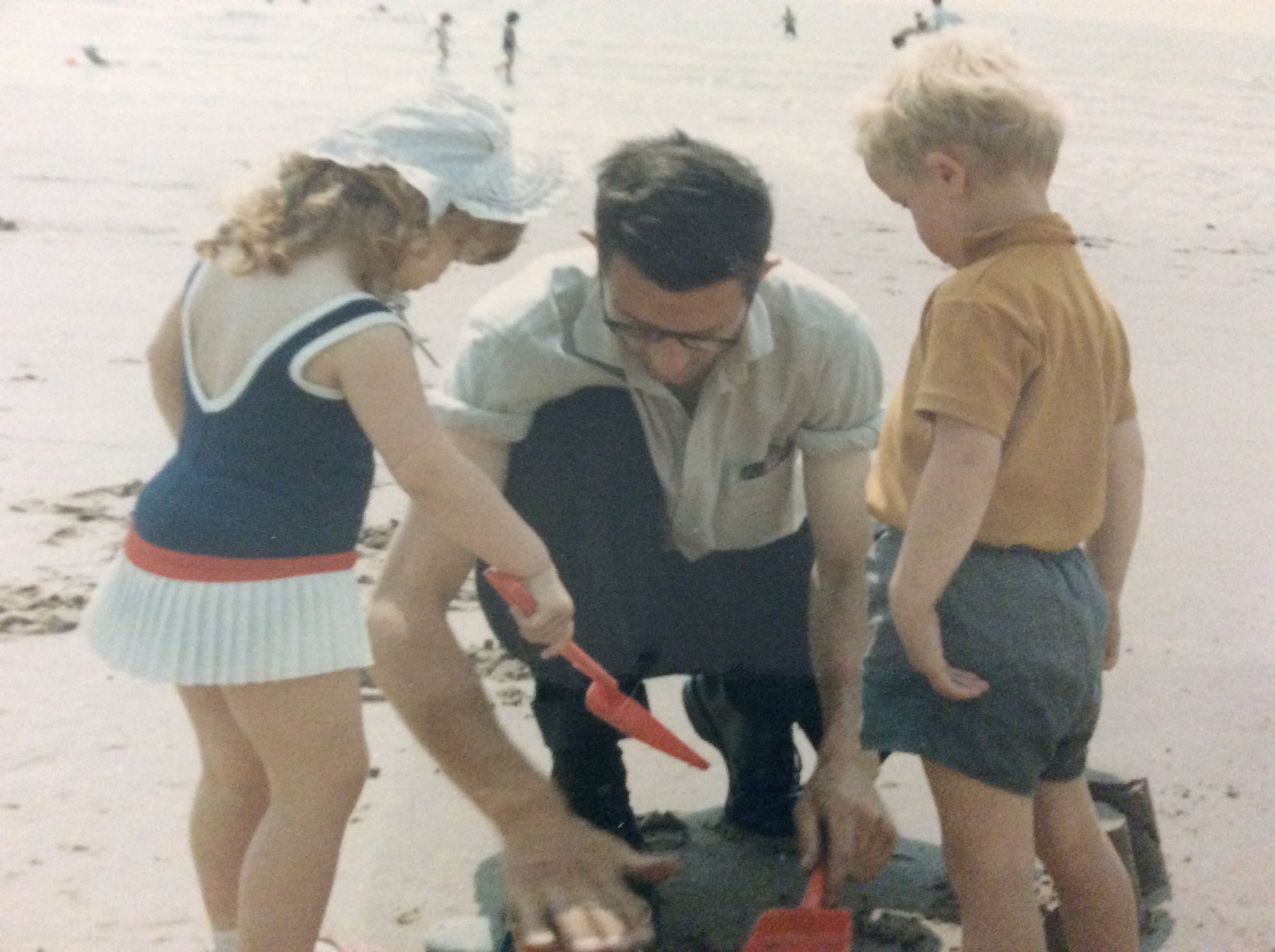
Mile 114 - The Biggar Bank Pool
Angela Bell
My childhood memories of Biggar Bank.
I can remember my brothers and I being taken over Walney for the day. It was quite a journey from lower Hawcoat. My younger brother being in a coach-built pram, my other brother being on a seat on the pram, and I was next to it. We would spend some time in the outdoor paddling pool which was usually packed out at weekends. We would run up and down in the pool splashing water around. Luckily the floor of the pool was free of obstacles and rubbish. We were always educated to put our rubbish in my mum’s bag.
Then it was picnic time, and we were often joined by other family members who lived on the island. I can recall sitting eating, wind in my face and staring into the horizon. In the 1970s there were no wind mills out at sea. My dad would also come and meet us after finishing his shift on the buses. We would build sandcastles and paddle in the sea. In my later teens my friends and I would cycle to Biggar Bank with our sugar sandwiches in our pockets.
I continued the family tradition by bringing my own children to this beach area. The paddling pool had long gone but they enjoyed the area in similar ways.


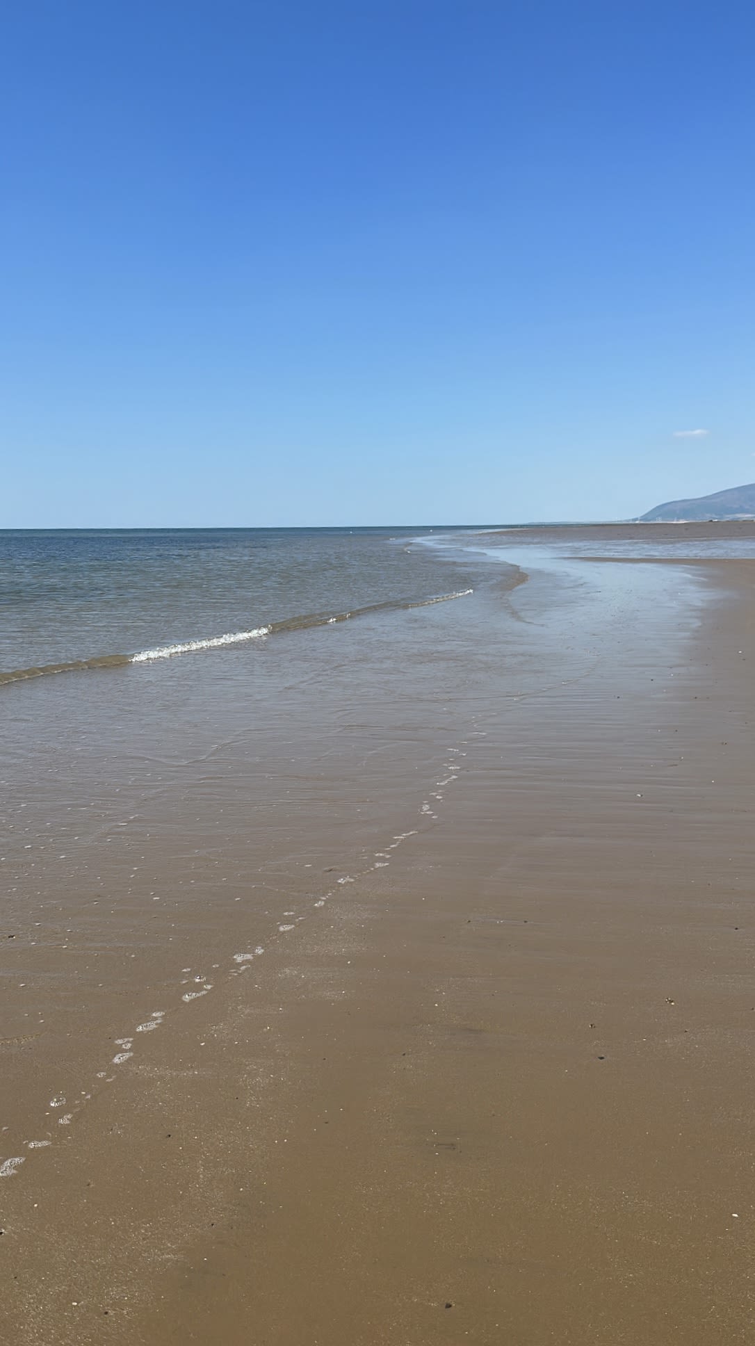


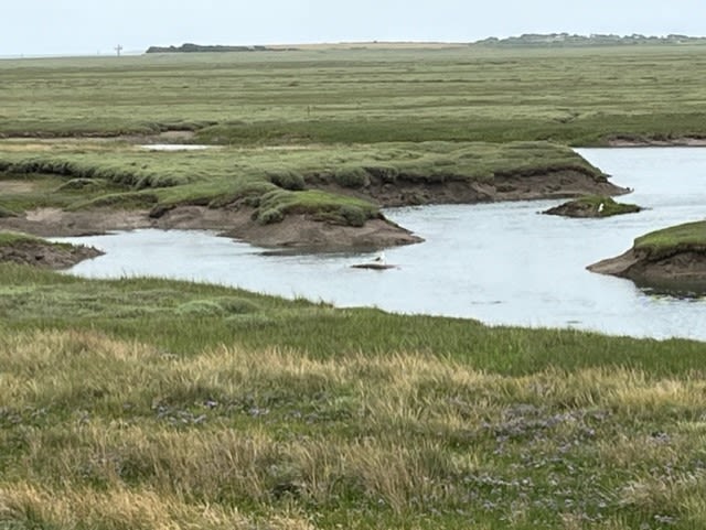
Mile 115 - Sandy Gap Beach
John Irving
Mile 116 - Earnse Bay, Walney Island
Sam Salisbury
You usually get the best sunsets here.
I've been going there since I was a kid....when I was a kid you were focussed on playing in the sand and digging.
Now I am more chilling out, reminiscing, watching the sunset.
Mile 116 - Earnsie Bay, Walney Island
Elizabeth (Beth) Stanley
The whole of Walney Island is precious to me. I was born and raised there. My childhood was filled with days at the beach, freely roaming the island, discovering rock pools filled with crabs that scurried under rocks and small shrimp that nimbly escaped my grasping hands. The sea reflected the skies with warm, calm incoming and outgoing tides in the summer and raging, crashing waves in the winter urged on and encouraged by relentless winds. With each phase of my life the shoreline has been with me. Providing a playground for my children and my dog, both of which have been fascinated with tidelines filled with flotsam and jetsam from the sea.
Earnsie Bay with its long stretch of unbroken, golden sand, leading to the nature reserve, is a year round succour from daily life. Sunset calls especially, with a stunning display of oranges, pinks and deep yellows filling the sky. Black Combe rising to the north of the island and the slow turning wind turbines on the horizon to the west. On clear days the Isle of Man seems to be within touching distance, surely only a short boat ride away! Fearless kite surfers fly along the coastline, brightly coloured sails ballooned by the wind, skimming along, seemingly without effort as if propelled along by magic.
The thrum of airplane engines brings the gaze from shore to the land where numerous caravans nestle close to the airport, horses undisturbed by the noise, accept handfuls of grass from visiting children and adults alike – taking care not to pick the Walney Geranium – a rare and beautiful flower.
What might the future hold? The strength of the sea nibbles away at the shoreline, more rapidly than seen in the past, making visits to the nature reserve difficult under foot. What if it falls out of our reach? Maybe it will enjoy the silence, to be left alone, the birds undisturbed, sand dunes untrodden on, wildlife left free to roam. Maybe we will look over longingly remembering a time when we could wander its shores freely.
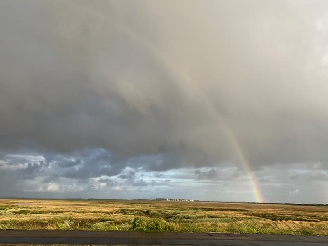
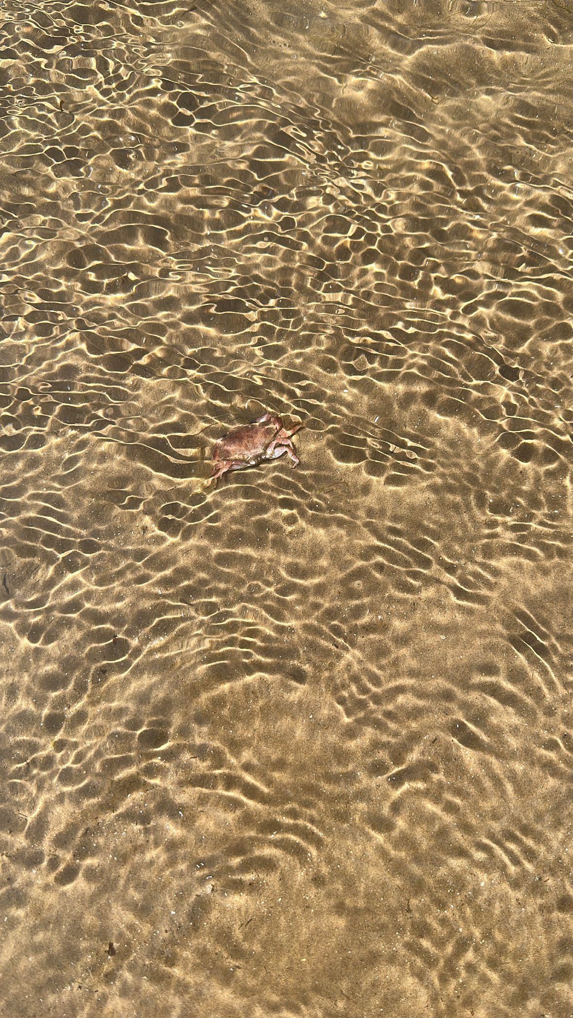
Mile 117 - North Walney
Alice Stockill
The last couple of years I’ve suffered from severe mental health issues. Whenever it got bad I would go and sit on the hill at the nature reserve and watch the sea come in and go out. It always made me feel better and would help me get through another few days.
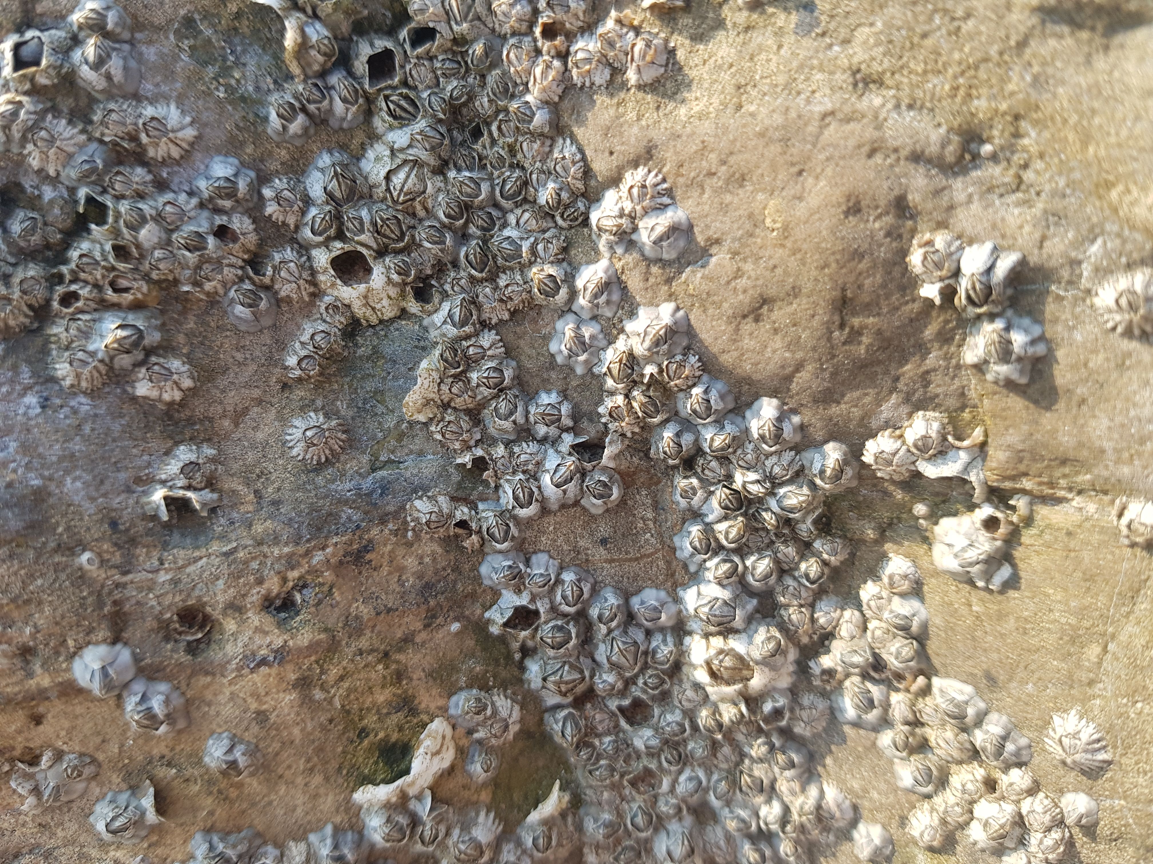
I selected mile 117 because it’s where I would sit when I had nowhere else to go, now I go there because it brings me joy.
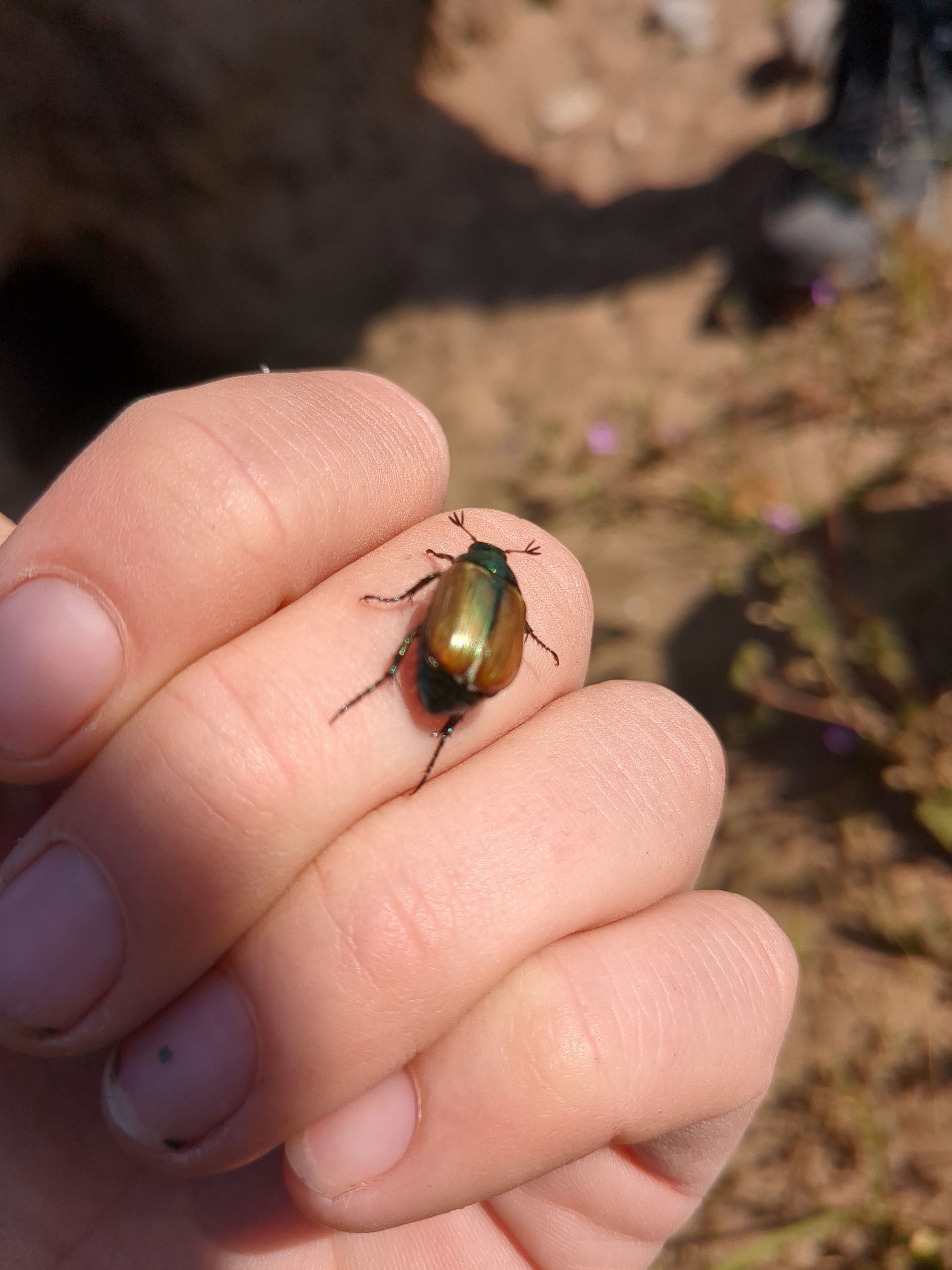
The wide pictures I have included feature a single cloud which felt significant and the close up shows one of my favourite coastal creatures.
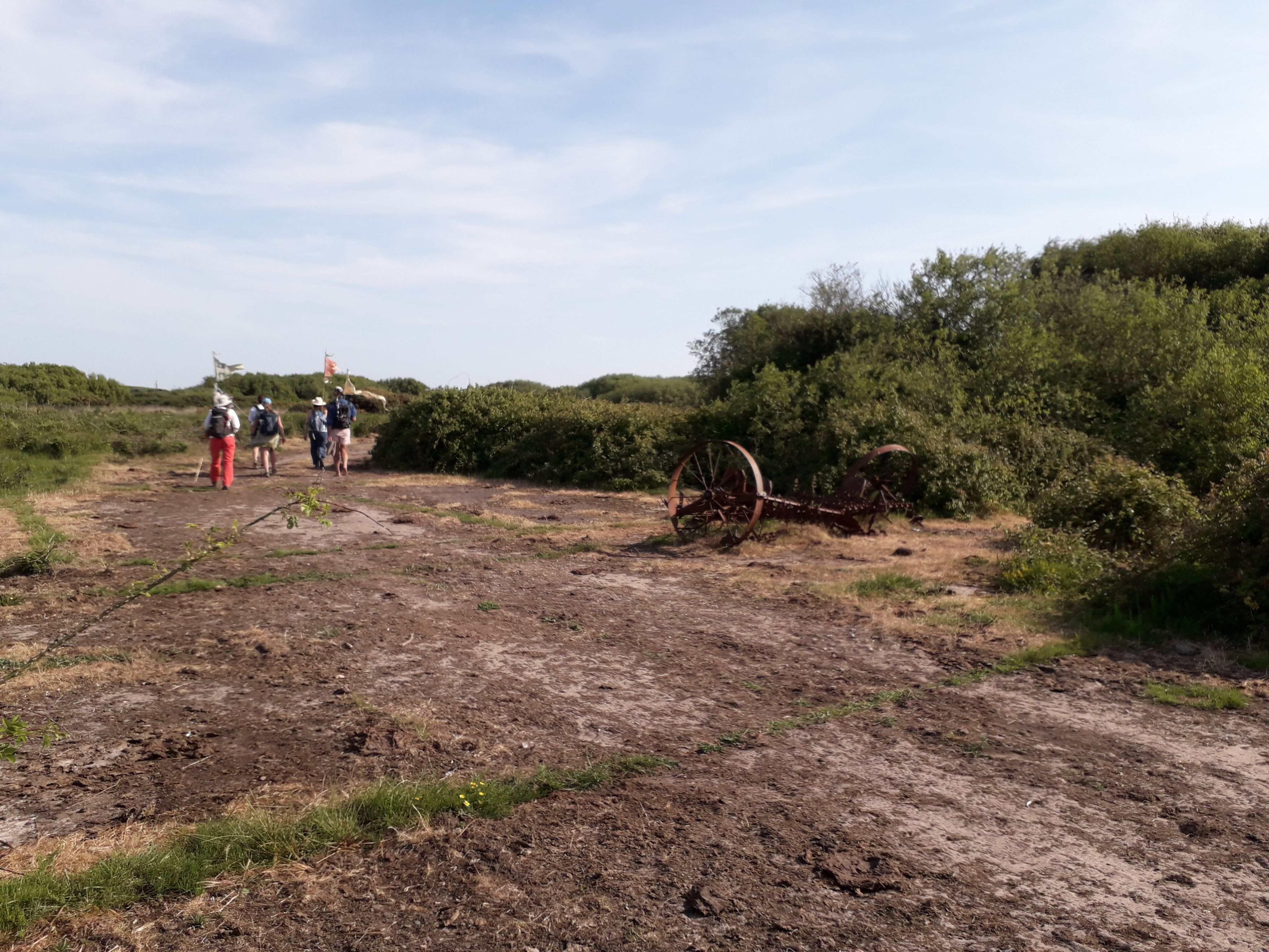
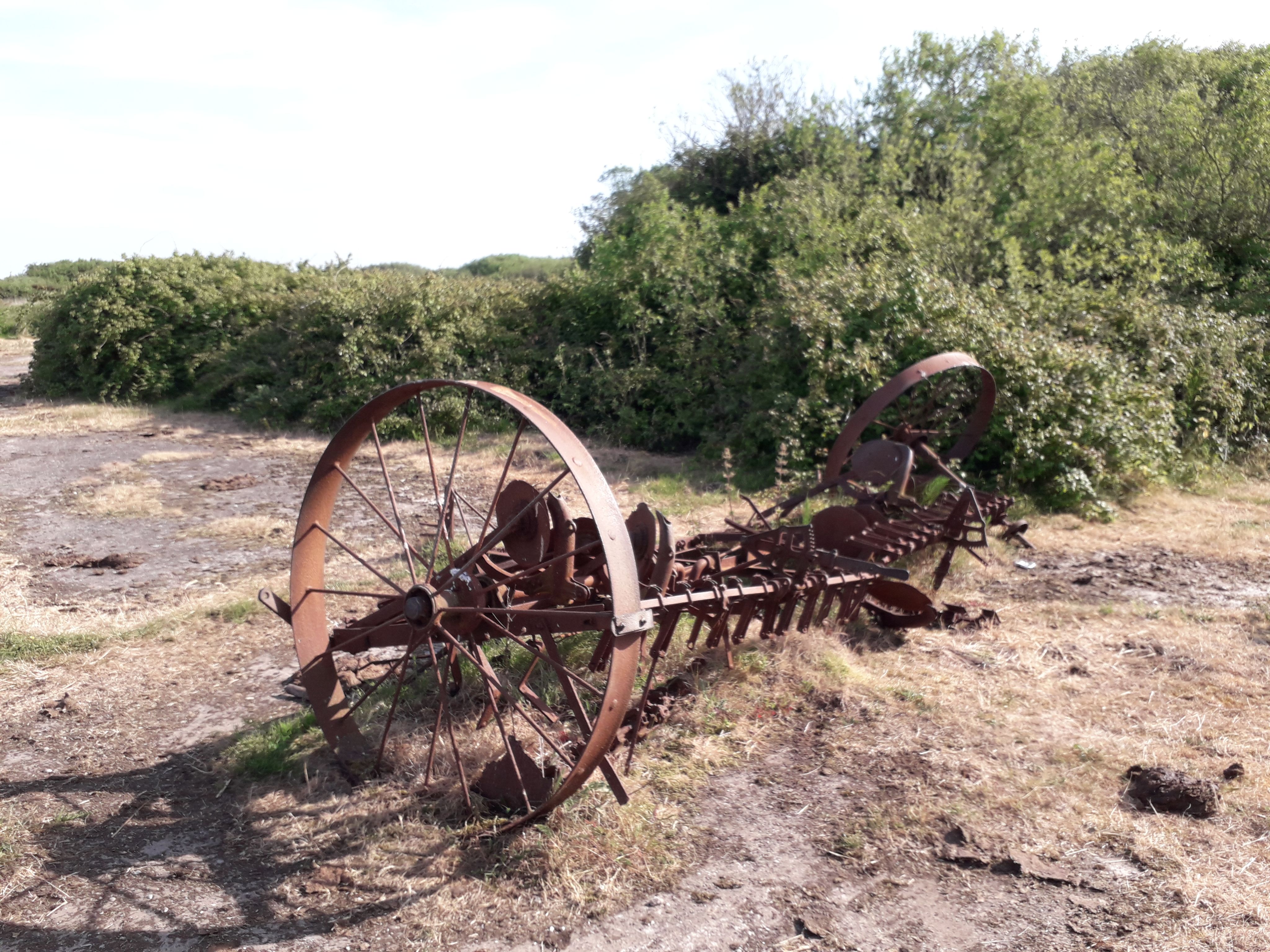
Mile 118 - The Site of North End Farm
Angela Bell
This mile is special to me because it is full of history both industrial and personal. The old farm machinery reminds me of those who farmed the land in the past. The land was acquired in 1937 so an airport could be built. This compulsory purchase required the demolition of North End Farm. On this mile there is evidence of part of the old RAF base and what would have been the area used to build an airship. As I walk this mile I imagine what life would have been like at this air gunnery school and how this area was developed because of World War 2. During this coastal exploration I was walking where many others had stepped in the past with the sea breeze in our faces.
My own personal connection with this mile is from my childhood. We enjoyed the freedom of this area and often picked blackberries. This mile showed evidence of cow pats which also reminded of the many occasions we played with the cows and rode on them! A practice I wouldn’t ever wish to repeat as an adult.
Mile 119 - North coast of Walney
Peter Rowlinson
This mile is close to my home and is the first part of my regular walk to the North Walney National Nature Reserve.
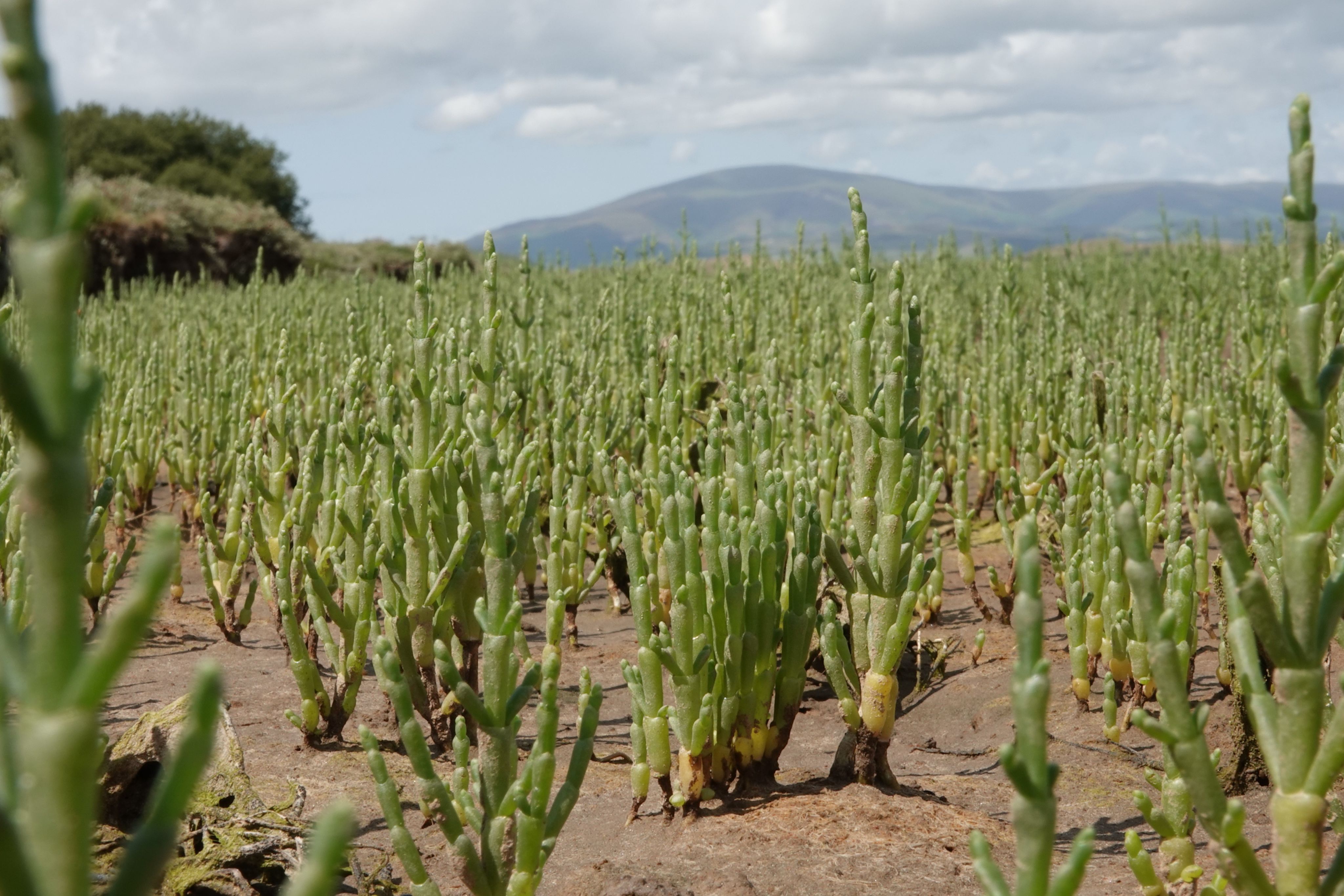
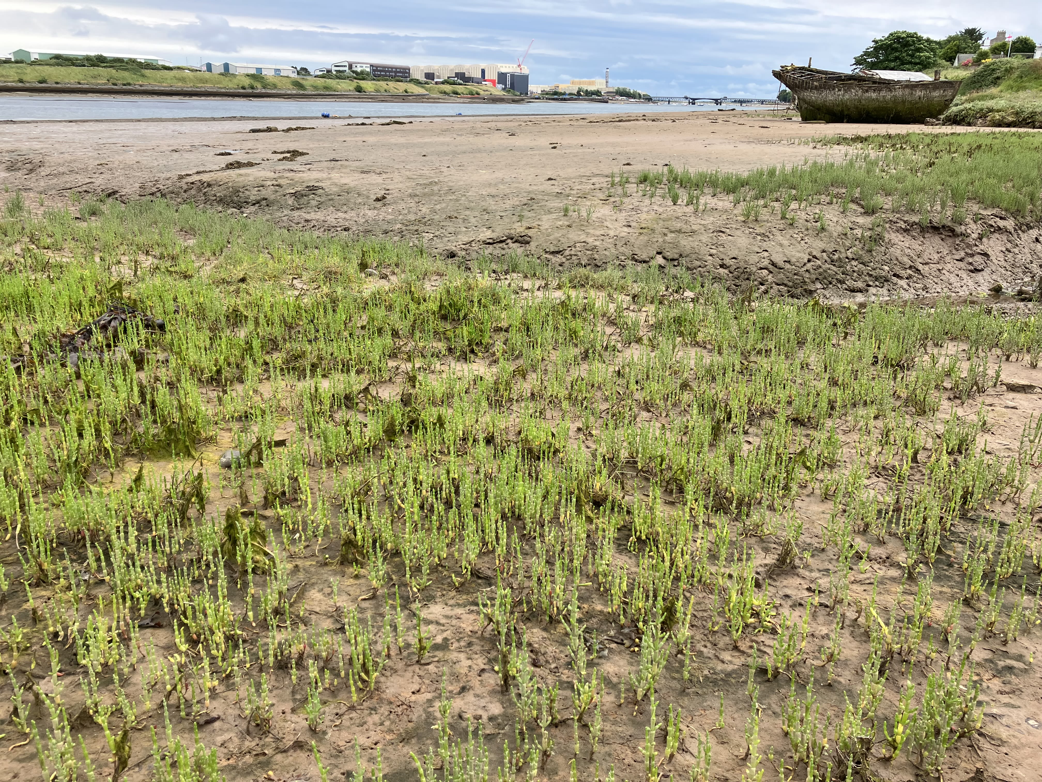
Over the winter months I often see Goldfinches feeding amongst the samphire on the exposed mudflats of Walney Channel.


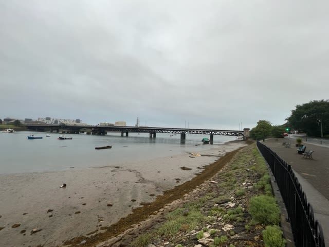
Mile 120 - The Final Mile
Susan Cammish
Part of my job role is connecting people with nature in the Barrow and Walney island area. Choosing mile 120 seemed a relevant choice.
My hope is for the increased protection, restoration and creation of the habitat for people to enjoy and nature to thrive, whilst the past, present and future industrial heritage and developments are recognised.
My observations of mile 120 are:
The noise of the traffic,
squeak of tyres,
the quietening hush when all has passed.
The monster can sits wedged between rock and coastal succulents,
both having found their niche.
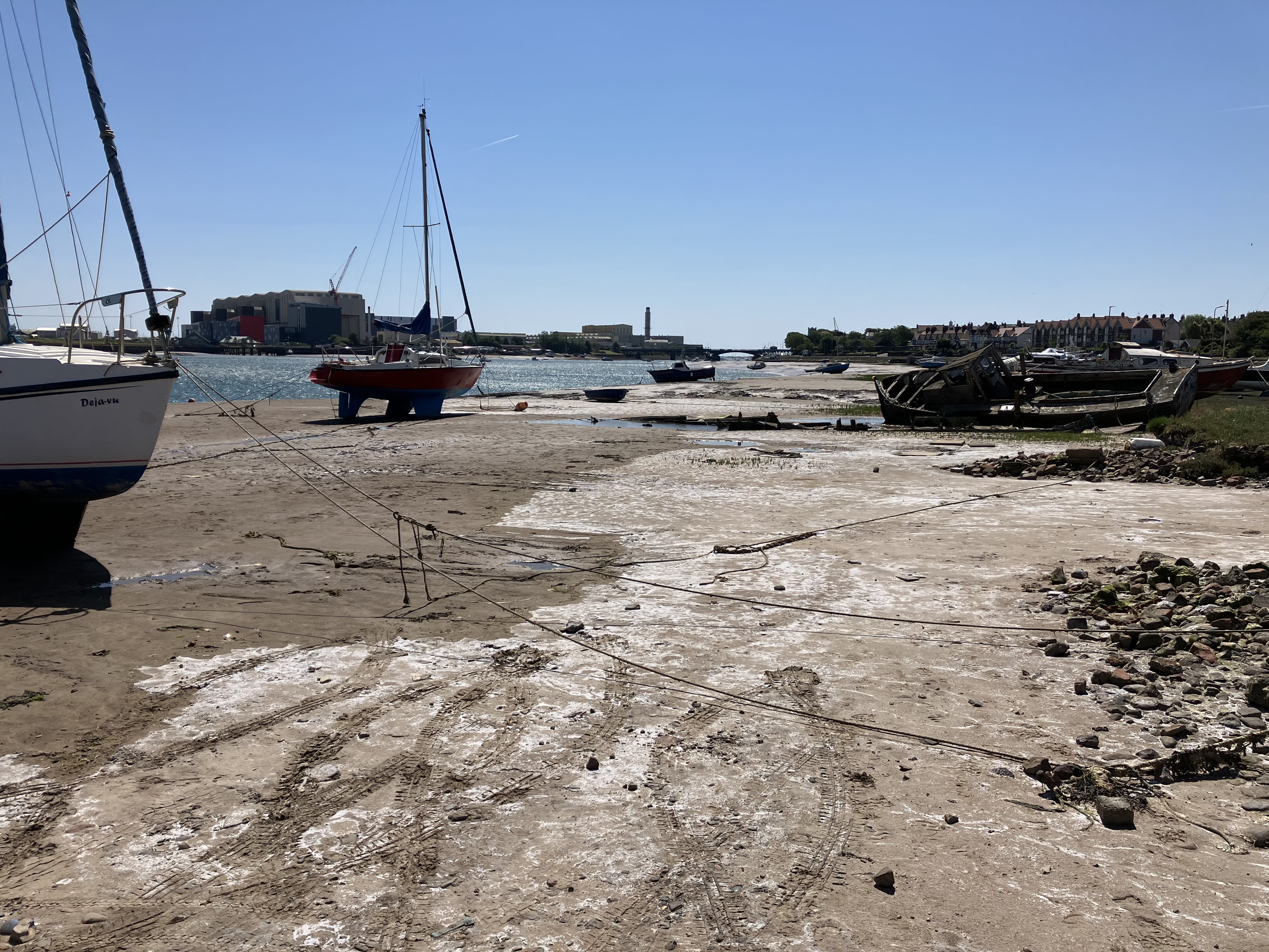
Fishing boats stand proud above mudflat,
with the garble of oystercatcher filling the air.
Buoys suspended in slack water,
serving purpose with ebb and flow.
The red crane with hanging load swings.
The Victoria Bridge with candy stripe barriers, spans.
To the left, the Duddon Estuary and looming fells - the high ground,
and below, the Sandscale haws settlement discreet.
Gulls shadows,
discarded shopping trolleys keeled over.
the cobbles of launch days.
A church spire, two.
A shining chimney high.
Masts, lamp posts, factories high, curlew flyby!
I spy with my little eye -
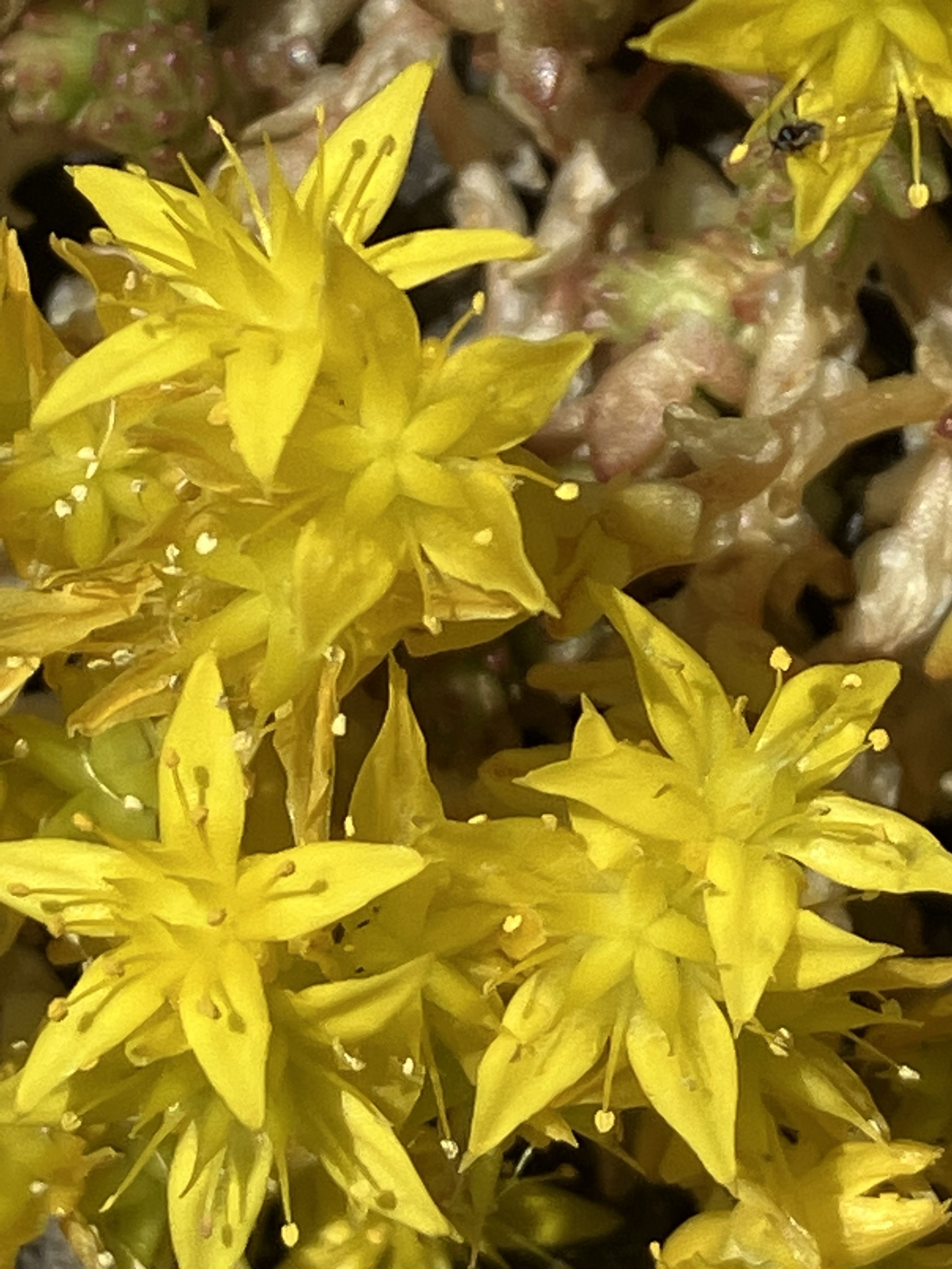
samphire, lavender and mallow,
and yellow stars of happy joy.
Mile 120
The Final Mile of Bay Lines - Beach of Dreams.
Thank you for joining us to explore Morecambe Bay